
Weather
From one extreme to the next - keep updated with the latest news and warnings for Queensland weather
More Stories
Alert fail outrage: Freak weather event behind 180mm deluge no one saw coming
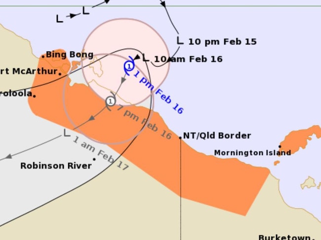
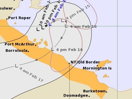
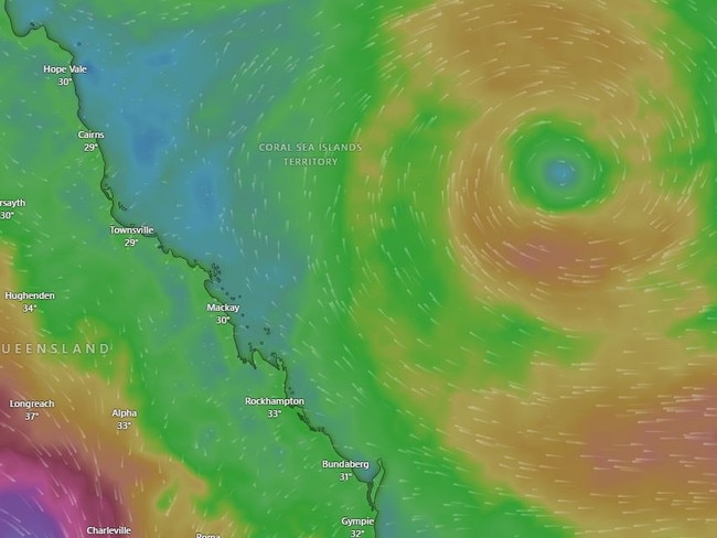
Tropical Cyclone Lincoln makes landfall on Qld coast
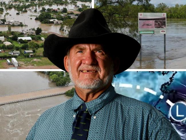
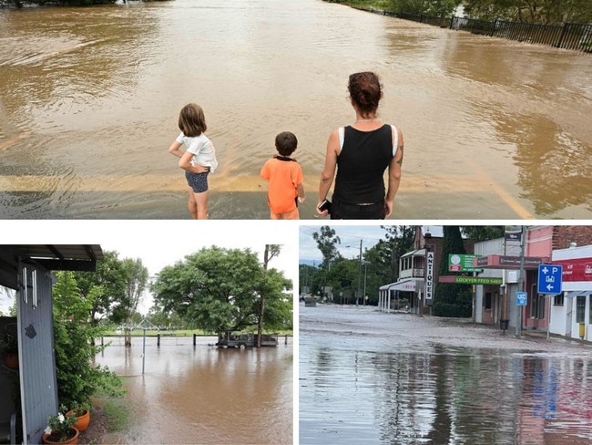
Outback Qld town faces population wipeout, under siege by wall of water
Tropical cyclone watch alert issued for Far North Qld
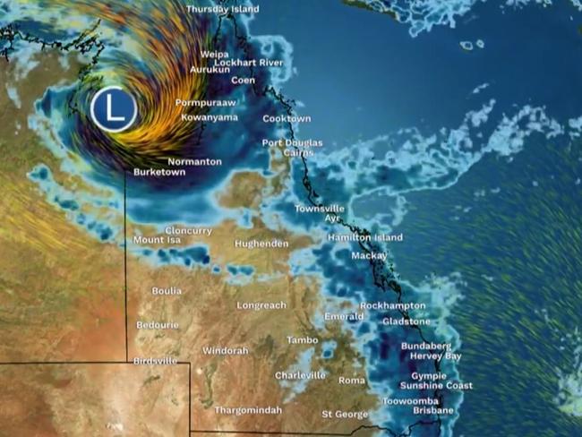
New Qld cyclone threat sparks fears of widespread flooding
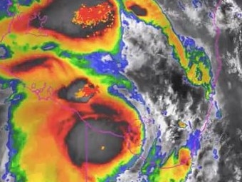
Eye of a monster: Kirrily dumps 340mm in one day, chances of new cyclone increase
Likelihood new cyclone could form off Qld coast increases
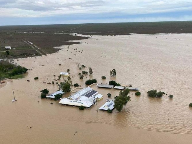
Watch: Torrent swallows tinnie, 1000mm deluge to turn Qld outback to inland sea

‘We are gutted’: Flood-smashed suburb calls for home buyback
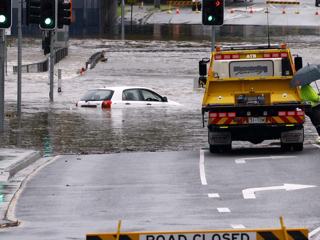
‘Record’ 350mm rain bomb worse than 2011, clean-up may take months
Original URL: https://www.couriermail.com.au/topics/weather-qld/page/3