
Weather
From one extreme to the next - keep updated with the latest news and warnings for Queensland weather

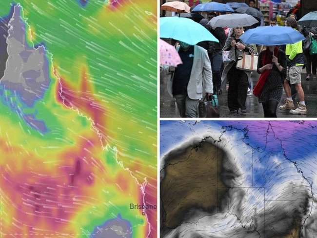
More Stories
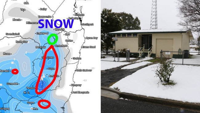
Qld on SNOW ALERT ahead of Antarctic polar blast
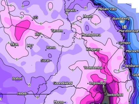
100mm in 7 days: Where it’s falling, why it’s so unusual
Howling winter winds, drenching 35mm falls after 8-year heat record smashed
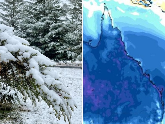
Widespread frost, subzero temps but Qld will have to wait for snow
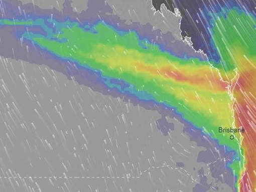
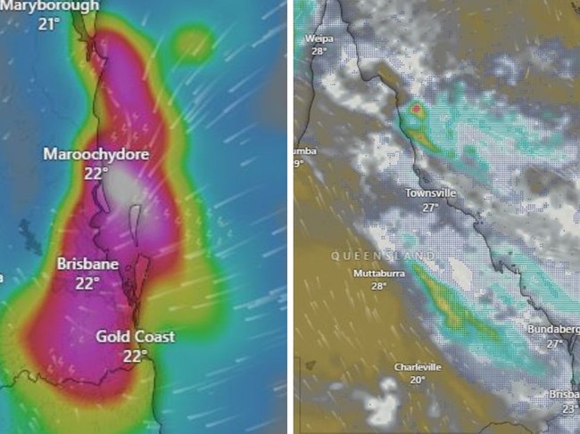
Weekend write-off: 2000km wall of winter rain tracks towards Qld
Feels like MINUS 3.4C! Brutal cold snap grips southern Qld
Brisbane’s coldest morning of the year as temperatures plunge 9C
Long weekend wild weather alert for drenching rain, strong winds
Severe storms, large hail ahead of possible 72-hour, 100mm drenching
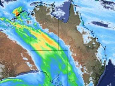
1100km warning zone: Severe storms, hail to kick off ‘significant’ rain event
Original URL: https://www.couriermail.com.au/topics/weather-qld