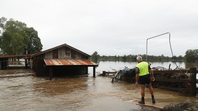
NSW weather: Sydney braces for heavy rain, flash flooding alerts
More Sydney residents have been ordered to flee their homes as rain continues to bucket down across the city and Illawarra. LATEST WEATHER UPDATES
NSW
Don't miss out on the headlines from NSW. Followed categories will be added to My News.
Camden residents have been told to grab their essentials and leave their homes by 10pm tonight, or risk being trapped without essential services.
The NSW SES has warned that if floodwater reaches 12m at Camden Weir the area will be isolated, and it may be too dangerous to try to rescue people who are stranded.
Earlier in the day, the Bureau of Meteorology predicted water levels at Camden were expected to rise even higher than last month’s devastating inundation.
Residents of all properties in Peter Ave, Ulmarra Avem Onslow Ave, Alpha Rd, Argyle St, Lerida St, Elizabeth St, Mitchell St and Edward St were told to move to friends’ homes or other accommodation outside of flood areas, or head to the local evacuation centre at Narellan.
Earlier in the day, evacuation orders were issued for Exeter St, west of John St, Milford Rd in Camden West, Ulmarra Ave, east of Myuna Pl, Peter Ave, between Onslow Ave and Belgenny Ave, Cawder Rd, between Barsden St and Murray St, Sheathers Lane, Kirkham Lane, Menangle Rd near Racecourse Rd, and Poplar Caravan Park.

An army of volunteers banded together at Camden Sports Club this afternoon and worked tirelessly to prepare the community hub for another possible flooding.
Members and residents packed bags full with sand and stacked them up high against clubhouse doors of the venue affectionately known to locals as the “Sporties”.
Precious trophies, computers and valuables were moved to the second floor as the team got ready for a possible third thrashing of heavy rain and flooding within 13 months.
As of 4pm, Camden had received more than 30mm of rain since 9am.
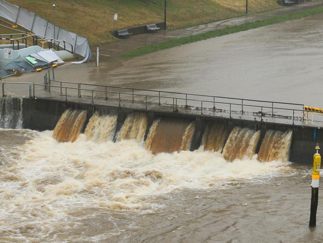
The BoM is tipping water along the Nepean River will hit 17m at Menangle Bridge tonight, which will be higher than last month’s flood peak and water levels recorded 34 years ago.
âš EVACUTION WARNINGâš parts of Camden prepare to evacuate.
— NSW SES (@NSWSES) April 7, 2022
NSW SES is advising residents and businesses within parts of #Camden to prepare to evacuate in the next few hrs:
🟡Argyle St
🟡Lerida St
🟡Elizabeth St
🟡Mitchell St
🟡Ulmarra St
🟡Peter Ave
👉 https://t.co/BCnxAdPqqRpic.twitter.com/eBIOuQlSaH
“Major flooding is occurring along the Upper Nepean River at Menangle and moderate flooding is occurring at Camden ... major flooding is possible at Camden and Wallacia,” the BoM wrote online. “The Nepean River at Menangle Bridge may reach around 17.00 metres Thursday evening. Further rises are possible.”
The Nepean River at Camden Weir could reach the major flood level of 13.8m this evening, the bureau warned, another rise higher than the flood peak last month.
It comes as Chipping Norton locals on Newbridge Road between Riverside Rd and the Georges River, Davy Robinson Dr, Rickard Rd and Arthur St were told to evacuate by 3pm as water rose along the Georges River.
“Once floodwater reaches 2.4m, the area will be isolated,” NSW State Emergency Services wrote online.
‼ï¸EVACUATION ORDER parts of #ChippingNorton‼ï¸
— NSW SES (@NSWSES) April 7, 2022
Residents and businesses within parts of Chipping Norton evacuate by 3pm Thur 7 April 22:
🔴Newbridge Road between Riverside Road and east to Georges River,
🔴Davy Robinson Drive
🔴Rickard Road
🔴Arthur Streethttps://t.co/BCnxAe6tsRpic.twitter.com/OwNSTOZc4Y
“If you remain in the area after 3pm, you may be trapped without power, water and other essential services, and it may be too dangerous to rescue you.”
Residents in low-lying parts of Woronora and Bonnet Bay were also told to get out while they could as flooding continued along the Nepean, Hawkesbury and Colo rivers, as well as the Georges and Woronora rivers.
At 3pm today, the highest recorded rainfall was in the Illawarra, with Bellambi recording 63mm since 9am.
Terrey Hills in Sydney’s north had the second-highest amount with 57.8mm, followed by Albion Park which received 43.8mm.
Freaky footage of what appears to be a miniature whirlpool violently spinning in the middle of a suburban street in Wollongong has been captured.
Facebook user Kristie Justice shared a video of the fast rotating mass of water on Lemrac Ave in Corrimal to a local weather warning page.
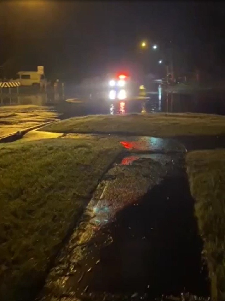
Murky brown water is seen moving like a centrifuge right next to people’s homes, spewing from the sides of concrete walls and wire fences with force.
âš ï¸ #Flood Watch updated for NSW Central Coast and South Coast Rivers. Major flood warning is current for the Hawkesbury Nepean Valley. See https://t.co/AdztI2rqg1 for details and updates; follow advice from @NSWSES#NSWFloodspic.twitter.com/WakUJRxvzo
— Bureau of Meteorology, New South Wales (@BOM_NSW) April 7, 2022
But the Bureau of Meteorology warned the downpour would not ease until later this evening, when flooding is expected to peak along the Nepean River at Menangle.
BoM spokeswoman Ailsa Schofield said flood levels in Menangle would peak higher than the floods of March 2021 and 2022, and that Camden would also see water exceed the flood level seen last month.
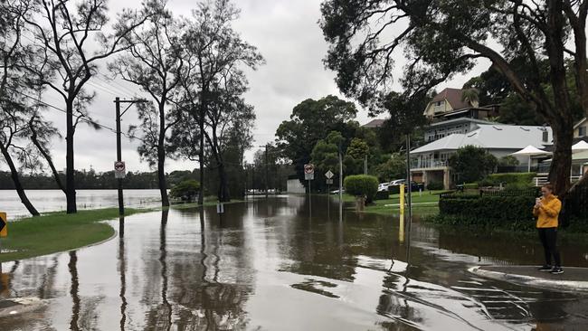
“Very heavy rainfall has been occurring and is forecast to continue to occur for the remainder of today in the Hunter, parts of the Central Coast, Greater Sydney, Illawarra and South Coast areas,” Ms Schofield said.
“We are not expecting to see the easing of this very heavy rainfall until this evening, where we will see the continuation of rain in these areas throughout Friday and the weekend.”
She added that North Richmond in the northwest could see major flooding too, but it would likely be “lower” than water levels that devastated the community last month.
NSW State Emergency Service Acting Commissioner Daniel Austin said so far the SES had rescued more than two dozen people from floodwaters and received almost 700 calls for help.
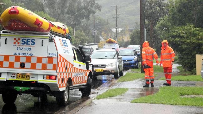
“There have been 25 flood rescues undertaken, the majority of which result from flash flooding and people being caught out by significant downpours of rain. Particularly in the Sydney basin and also through the Illawarra,“ Comm Austin said.
The Liverpool SES unit shared photos of a flood rescue online, warning locals to stay out of floodwaters after rescuing three people this afternoon.
Residents in low-lying Woronora evacuated their homes on Thursday morning by State Emergency Services who went door to door issuing evacuation orders.
Woronora residents Darren and Kylie Parker woke to the water rising in their backyard.
At noon they were “waiting and watching” to see how high the water would rise when high tide hit in the afternoon.
“We’re just gonna wait and see what happens — at the end of the day if it gets really bad we’ll jump in the truck and head up the mountain,” Mr Parker said.
“Tonight will be the worry … Everything in the garage is up high, everything is ready to go.”
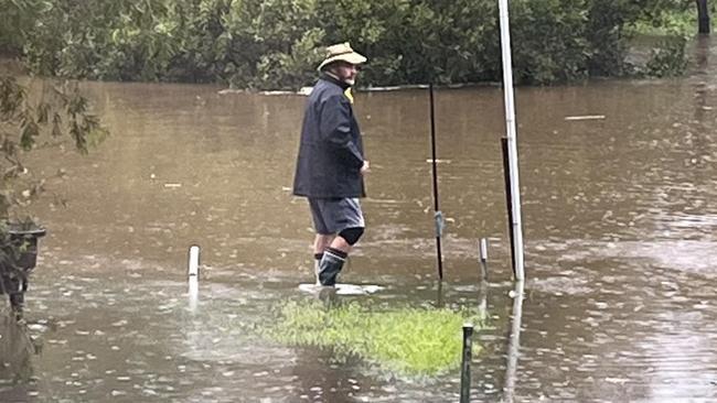
They were warned to leave by the SES shortly after 11am, with the Forbes Creek behind their house set to flood further, but have chosen to hang tight.
“Unless it felt life-threatening I’d go, but the way it is now we’ll watch and wait,” he said.
“We’ve been warned and I understand and when I feel like I’m in trouble I’ll leave.”
Sydney and the Illawarra have so far copped the brunt of the dangerous wild weather.
Heavy rain continued to fall across the city on Thursday, with flash flooding in Dee Why and minor to major flood warnings issued for the Hawkesbury-Nepean river at Menangle and Camden.
The SES also advised some people in the Picton CBD to prepare to evacuate as a result of rising flood waters.
#NSWRFS crews are assisting the @NSWSES with sandbagging shops and homes around the Picton CBD. The Stonequarry Creek is rising and the SES is advising people in the area to prepare to evacuate. pic.twitter.com/iISbGA0glR
— NSW RFS (@NSWRFS) April 7, 2022
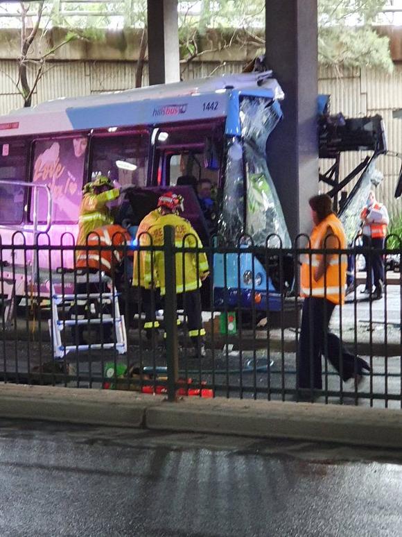
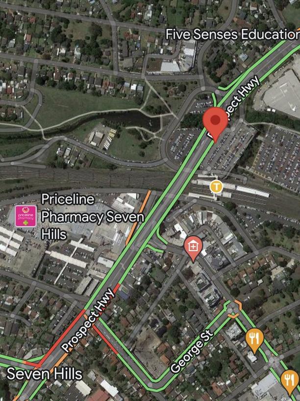
In Sydney’s west, nine people were involved in a bus crash, including a man and a woman who remain in a serious but stable condition in hospital.
The trapped driver and an injured patient had to be released using cutting tools.
Earlier on Thursday, emergency services were cleaning up an overnight spill from Caltex’s Kurnell oil refinery that caused petrol to flow down a public street prompting road closures around Captain Cook Rd.
Fire and Rescue NSW crews were at the scene and said there was no danger to the public, despite the smell of fuel in the air.
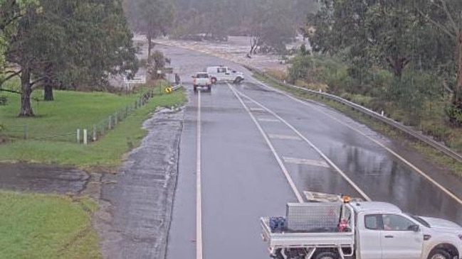
Dee Why this morning #nswrain pic.twitter.com/zIR6oOqETn
— Dale Drinkwater (@DaleDrinkwater) April 6, 2022
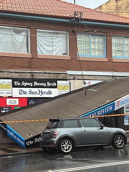
A shopfront awning in one of Sydney’s eastern suburbs collapsed on Thursday morning after the area copped over 100mm of rain overnight.
Emergency services were called to Rose Bay North Newsagency, on Old South Head Rd, early on Thursday morning following reports the shop awning had suddenly collapsed.
“The shopfront awning collapsed on to an eastern suburbs footpath, police rescue were called to come and assist and see if they can do anything to stabilise the situation,” Fire and Rescue NSW Spokesman Adam Dewberry said.
No one was trapped or injured.
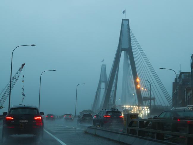
Across the NSW south coast and Illawarra regions, more than 500 storm and flood related requests for SES assistance were made overnight as reports come of flooded homes and streets.
In St Georges Basin, near Jervis Bay, photos shared online by the local SES unit depict streets inundated with floodwaters and backyards overflowing after a nearby creek broke its banks.
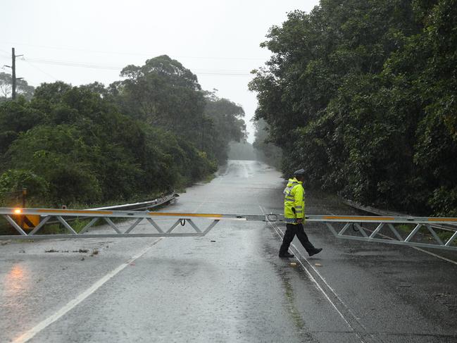
Fire and Rescue NSW reported Menangle Bridge at Menangle closed around 8am on Thursday morning due to flooding.
According to the Bureau of Meteorology Rose Bay recorded 107mm of rainfall overnight.
The bureau said the Illawarra and Sydney basin had experienced the bulk of rainfall overnight with the Cronulla South Bowls Club recording 154mm in the past 24 hours, and 107mm falling in just three hours.
Further North in Sydney, Little Bay saw 107mm in six hours last night.
Further south, Macquarie Pass in the Illawarra has recorded 122mm in the last 24 hours and Nowra has 100mm.
Senior forecaster Jenny Sturrock said “the Illawarra and the Sydney basin is the focal point for the heaviest falls today.”
“We are expecting widespread 100mm over 24 hours today and some isolated falls of 150-200mm,” Mrs Sturrock said.
“What is exacerbating the situation is that we are expecting pockets of significant falls of 60-100mm falling in quite a small period of time, over six hours.
“So that’s increasing the risk of flash flooding and landslips.”
“All areas through Sydney and Illawarra would be a risk of flash flooding today.
“With the sodden ground we are seeing the chance of trees being uprooted a little bit easier than they otherwise would.”
The BOM warned the Georges River at Liverpool Bridge was likely to exceed the minor flood level (2m) around 8am Thursday morning and exceed the moderate flood level (3m) around midday. It may reach the major flood level (4.5m) late Thursday afternoon.
In the past 24 hours, the NSW State Emergency Service has received 545 requests for assistance, 348 of those across Greater Sydney after the Northern Beaches copped the brunt of Wednesday’s rainfall.

