
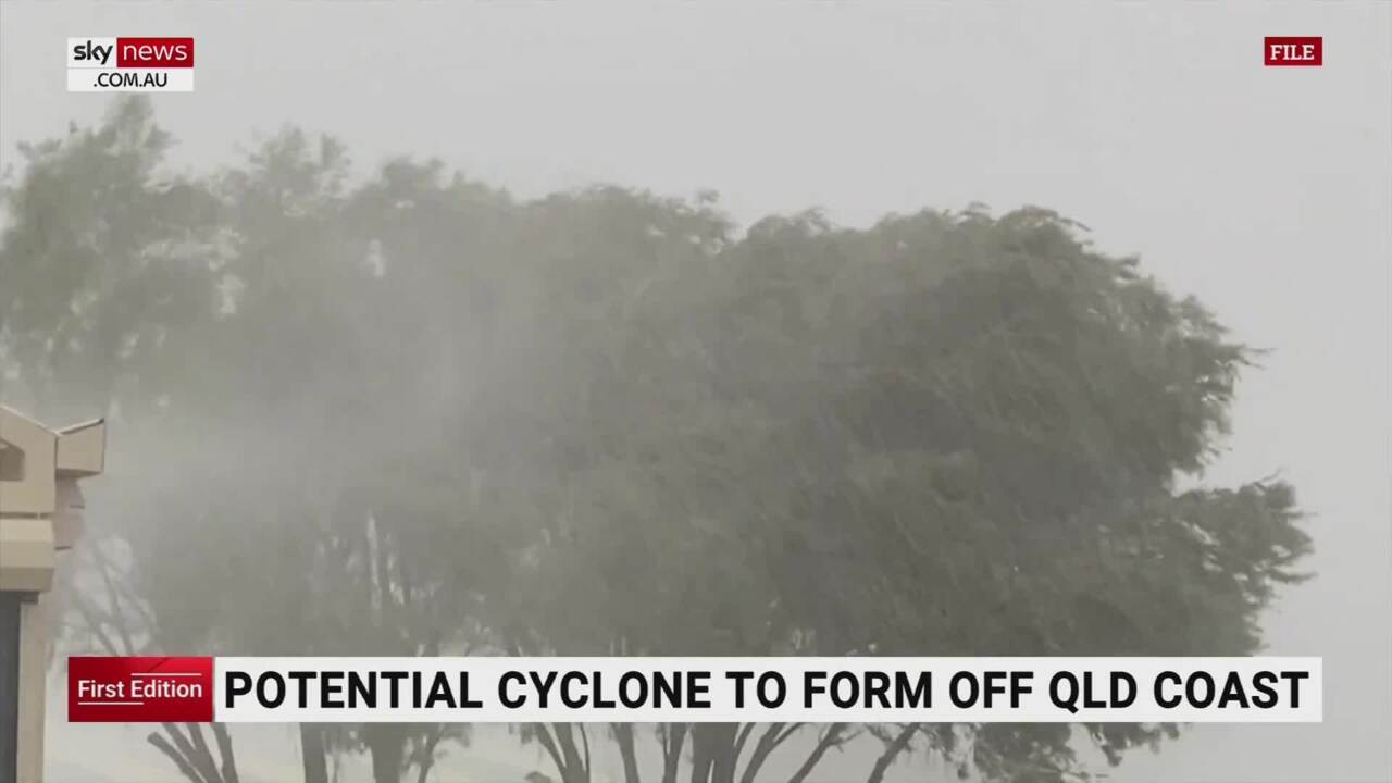
Qld cyclone: Winds, hazardous surf expected down east coast
Queensland’s mainland coast can expect strong winds and hazardous surf over the coming days as a cyclone – now likely to be called Gabrielle – is expected to form. But one of the state’s outposts has a very nervous few days ahead.
QLD News
Don't miss out on the headlines from QLD News. Followed categories will be added to My News.
The Queensland territory of Norfolk Island could be most at risk from the cyclone that experts say will form on Wednesday, as the system faces a late name change, with multiple other possible cyclones on the cards.
As many as three cyclones could form in Australian waters this week and a potential fourth is in the offing during the next 10 days as the monsoon reforms over the country’s north, with the first forming off Western Australia overnight, taking the name Freddy.
The Bureau of Meteorology had earlier said the cyclone forming over Queensland’s Coral Sea would be called Freddy once it formed, but at around 8pm WA time (10pm AEST), the Bureau of Meteorology confirmed Tropical Cyclone Freddy had developed off the coast of Western Australia, 720km north west of Broome.
Freddy is currently a category 1 system with winds near the centre of 75km/h and gusts of more than 100 km/h.
Tropical cyclone to form in the Coral Sea late Wednesday and remain well offshore of the Queensland coast. https://t.co/rVLE6inSiGpic.twitter.com/IA1yvppIMt
— Bureau of Meteorology, Queensland (@BOM_Qld) February 7, 2023
It’s expected to intensify to a category 3 cyclone storm by Thursday.
It means the Queensland cyclone will now likely be called Gabrielle.
“While we aren’t expecting a direct impact, it is expected to increase the winds along coastal waters particularly for Capricornia waters,” Senior Meteorologist for the Bureau of Meteorology, Harry Clark, said.
“So looking at places from the Whitsundays down to the tip of Sandy cape on Thursday and Friday potentially which will be the main impact.”
Wind gust speeds along Mackay’s coastal waters are expected to reach 70kmh on Thursday.
“Category three tropical cyclones can typically sustain winds between 118-159kmh,” Mr Clark said.
“But it will be well offshore southeast coasts by the time it reaches that stage.
It is expected to remain well offshore, but as its path tracks southeast, it may come much closer to Norfolk Island, now controlled by Queensland.
Regions as far south as Brisbane are being warned to expect strong winds and hazardous swells towards the end of the week as the cyclone tracks southeast after developing from a low to the east of Cairns, with the possibility it could strengthen even further.
Areas along Western Queensland can expect heavy rainfall and thunderstorms on Tuesday, particularly in Mount Isa and Longreach with potential flash flooding.
The storms are expected to travel through to the far west, northwest, and southwest of Queensland on Wednesday.
Mr Clark said a big plunge of tropical air from the northeast right through down to south western Queensland paired with lots of moisture has triggered the storms.
“Essentially we are just seeing a really warm, unstable tropical air mass increasing the chances of heavy rain,” Mr Clark said.
“There is also potential for river rises as a result of this rainfall along the Flinders and Cloncurry routes and the Georgina River which is the furthest west river in Queensland.
“Generally, anywhere above 50mm can be expected in areas expecting thunderstorms.”
Mr Clark said the southeast can expect “relatively pleasant weather” over the next few days.
“We do see the chance of showers increasing by Thursday and Friday, but nothing too heavy is expected,” he said.
The southeast can expect dry, warm conditions for the weekend with maximum temperatures of 34 degrees.
“Cairns can expect some isolated light showers today and tomorrow, and not a huge amount of rainfall in northern areas which is pretty typical for this time of year,” Mr Clark said.

Originally published as Qld cyclone: Winds, hazardous surf expected down east coast

Bombshell DV crackdown: Dating app bans, forced to share passwords
Domestic violence offenders could be dealt control orders similar to those used for organised crime and bikies under sweeping changes proposed by the Queensland Police Union.

Secret, big-profit investment hiding in your wardrobe
What can give you up to five times the return on your investment as real estate and as much as 10 per cent more than the ASX, and could be hiding in your wardrobe?
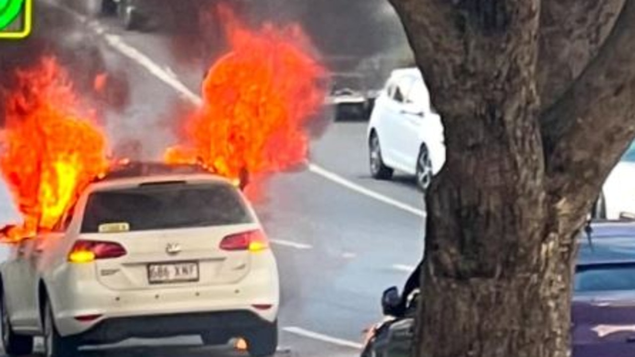
Flames shoot from car fire in Brisbane’s north
Traffic diversions have been set up after a car burst into flames on a street in Brisbane’s inner north.
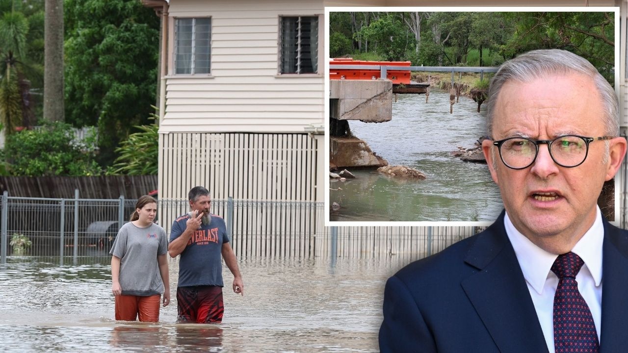
PM slams Bruce Hwy, as military might unleashed on flood clean-up
The Prime Minister hasn’t pulled any punches in his assessment of a critical part of the Bruce Highway as he visits flood-ragaved North Queensland, vowing to provide “whatever support is necessary”.
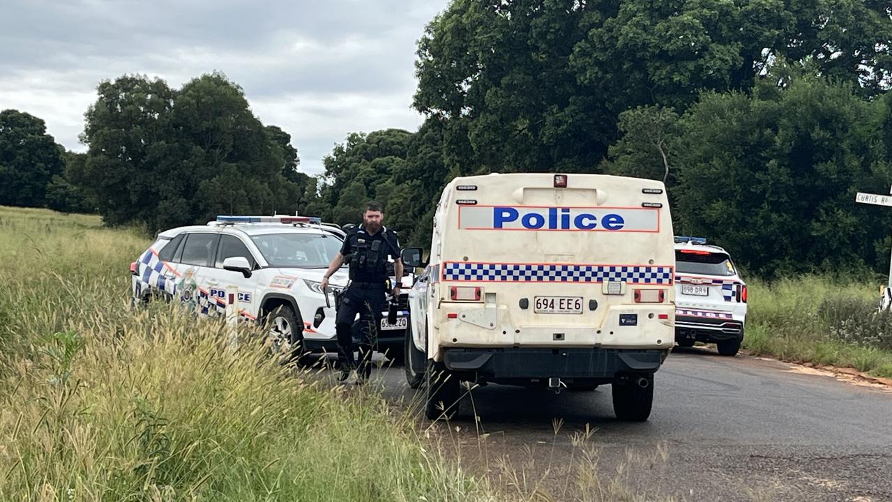
Police swarm Qld property after shots fired
Police have surrounded a rural Qld property where its understood shots have been fired, and officers are negotiating with a man inside.

Fraud charge for man accused of leaving flatmate’s body on balcony
A man accused of murdering his flatmate and leaving her in a box on a balcony in an upscale part of Brisbane has been charged with fraud.