
Coral Sea low likely to form severe Tropical Cyclone Freddy off Queensland coast
Queensland’s first tropical cyclone of the year is likely to develop into a nightmare category-three storm that will share the name of an iconic horror movie character.

Townsville
Don't miss out on the headlines from Townsville. Followed categories will be added to My News.
Queensland’s first tropical cyclone of the year is likely to develop into a nightmare category-three storm that will share the name of an iconic horror movie character.
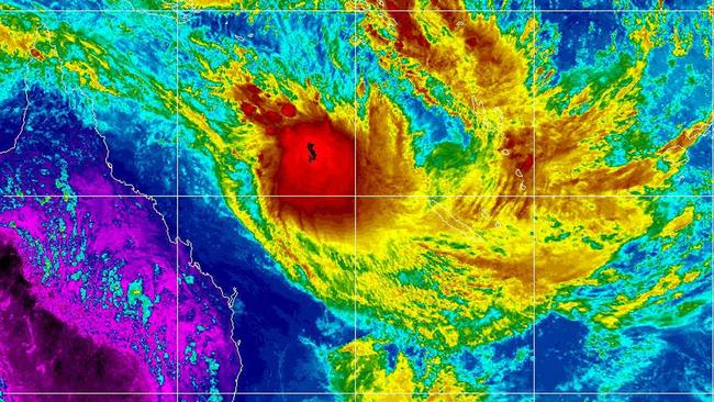
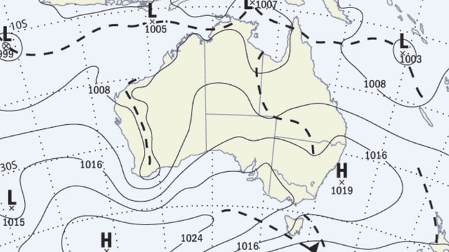
Bureau of Meteorology Senior Meteorologist Felim Hanniffy said on Sunday afternoon that projections indicated that the low pressure system near the Solomon Islands was expected to track south-west toward the North Queensland coast and form a severe tropical cyclone on Wednesday.
Mr Hanniffy said the category-three cyclone – which is characterised by destructive wind speeds of up to 220kmh – would reach Willis Island east of Cairns before changing direction to the south on Thursday.
“As it develops it does move west-ward initially, that’s toward the coast, and then shifts away southward pretty quickly,” he said.
“It’s certainly something to watch, it’s a pretty significant system by the middle of the week.”
Mr Hanniffy said the wind and storm swells were likely to have the biggest impact on Queensland.
“It’s a watch point at this stage, at this stage we are not expecting a direct impact.”
He said the cyclone would be the first to form in Queensland waters this season and would be named Tropical Cyclone Freddy.
“I think we’re still on F and the next name of the list is Freddy, which has eluded us so far.”
The Brisbane-based forecaster said the general weather forecast for North Queensland, including Hinchinbrook, Charters Towers, Townsville and the Burdekin, was for continuing wet weather and temperatures in the low 30s.
Townsville was doused in rain overnight Saturday, with rainfall totals of 40mm to 100mm in the Bohle River-catchment area.
The rain led the river to minor-flood levels, peaking at 4.61 metres at 9am on Sunday.
Minor-flood alerts were also issued for the Ross and Black rivers, as well the lower Herbert River in Hinchinbrook.
In the Burdekin, wet weather led to the closure of about ten roads in the district.
Mr Hanniffy said the wet weather could persist in the region to at least the weekend.
“Obviously a lot will depend on how that low comes but generally when you get a system like that it will actually kind of suck all the moisture away so you may just get strong winds but very little in the way of rainfall unless it (Freddy) comes perilously close,” he said.
More Coverage


Originally published as Coral Sea low likely to form severe Tropical Cyclone Freddy off Queensland coast
Join the conversation
‘Build back better’: PM’s promise for buckled bridge
Standing on the Bruce Highway that was ripped apart by raging floodwaters, the Prime Minister has vowed to “build back better” and floodproof North Queensland’s crucial link.
Read more
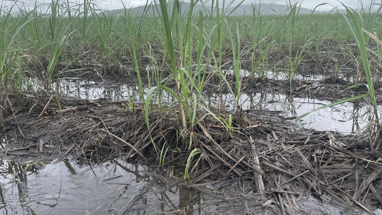
QLD announces low-interest loans for flood hit farms, businesses
Low interest government loans have been launched to help flood-hit farmers and businesses rebuild, as estimates of sugarcane loss in the Herbert skyrocket. See who’s eligible.
Read more