
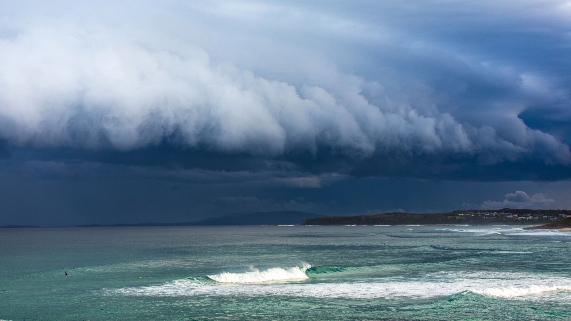
300km wide Alfred not a typical tropical cyclone say meteorology experts
Cyclones are not all made equal and the 300km system looming off the southeast Queensland coast is shaping up to be a meteorological mongrel.

Business
Don't miss out on the headlines from Business. Followed categories will be added to My News.
The 300km weather system menacing the southeast Queensland and northern New South Wales coast, is something of a meteorological mongrel.
In scientific terms, a tropical cyclone is the sum of three parts — a rain band, eye and eyeball — which draw air in toward the centre in a clockwise pattern, and out the top in the opposite direction.
What makes such systems so dangerous is the central concentration of energy, with the most intense rain and winds around the eyeball.
Senior meteorologist Dean Narramore said that around the eyeball, thunderstorms could stretch up to 15km or higher into the atmosphere creating a destructive weather system.
“As all the air comes up through those storms, the top of the system acts like an exhaust, so all the air comes in at the bottom into this spiral band of thunderstorms and then all that air goes out at the top,” Narramore said.
But Cyclone Alfred is not a textbook tropical cyclone, having developed in the deep tropics before moving to the subtropics.
Dr Andrew Tupper, consultant meteorologist at Natural Hazards Consulting, said what made Alfred different to the classic tropical cyclone was that it was more spread out, and its energy distributed much more widely.
“That’s because it’s kind of a cross between a tropical cyclone and a mid-latitude cyclone," Tupper said. “In a mid-latitude cyclone the energy is distributed much more widely and they’re usually not as intense in the middle but have impacts over a much larger area. That’s also why the warnings cover such a large area. So we’ve got a system that’s large in scale, it’s moving slowly and the energy is spread out and so a large part of the populated coastline would potentially feel its effects.”
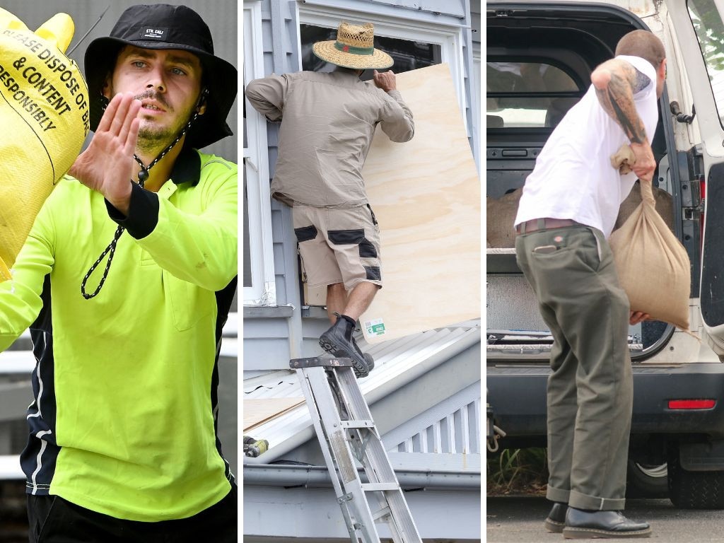
Brisbane was no stranger to severe storms but Alfred posed a harrowing new experience for residents not around for the city’s last direct hit in 1974.
David Henderson, from James Cook University’s cyclone testing unit, said the major difference between a cyclone and a thunderstorm was the duration, which would be a frightening ordeal for many people.
“This is going to be around for many many hours, hammering on the outside of the building,” Henderson said.
“The wind is going to change, depending where you are. You might get a really big change in direction and there’s going to be water coming in with that wind, under your windows, under your sliding doors and through your gable vents.”
Although the slow approach of Alfred was allowing preparations to be made throughout southeast Queensland and northern NSW, it also meant the category two storm could intensify.
Narramore said that was a possibility, but not a strong one.
“Slowing down sometimes leads to intensification but only if the environment is conducive for that, as in the sea temperature is above 27 degrees, no strong winds and no dry air wrapping into the system,” he said.
“This system has a bit of dry air and the sea temperatures are probably sitting around 25, 26 degrees so conditions are right to maintain the intensity of a category two cyclone, but probably not an intensification at this stage.”
More Coverage
Originally published as 300km wide Alfred not a typical tropical cyclone say meteorology experts
Join the conversation
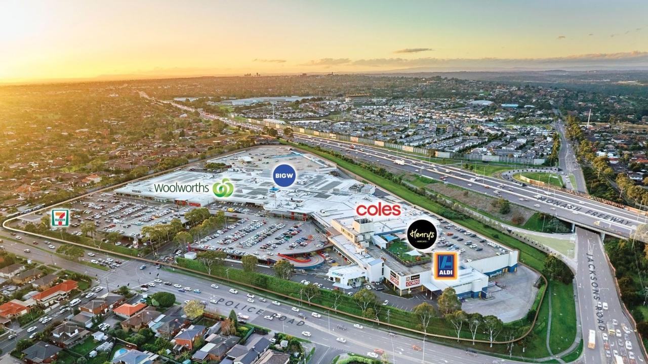
Vicinity circles shopping complex in Elanor selldown
Find out where Melbourne’s next major factory outlet could get underway.
Read more

Vanguard may look at private investments
Vanguard could look at providing products that invest in the increasing number of private companies, the index funds management giant’s global CEO has told a Sydney function.
Read more

Apple unveils its ‘most powerful Mac’ as it cuts prices
The tech giant released a new Ultra chip that it says makes its latest Mac Studio the most powerful computer it’s ever built as it trims prices across its MacBook and iPad Airs.
Read more

Betr has ‘credible lender’ in place for Pointsbet bid
More detail has emerged in Matt Tripp’s last-ditch bid for a rival that is already subject to a takeover offer from a huge Japanese company.
Read more

Australia stuck in ‘retail recession’, warns Country Road owner
The South African owners of Country Road Group have tagged Australia as being in the grips of a ‘retail recession’ for the last 18 months, amid crashing sales for the retailer.
Read more
Luxury digs hit by moderating growth
The nation’s best homes and apartments may be cheap on a global scale but there have been big jumps across the past decade.
Read more