
More rain on the way for the Top End this week, while Red Centre dries up
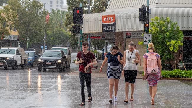
THE Top End has been drenched over the past seven days and more rain is on the way with an increased chance of thunderstorms later in the week.
Northern Territory
Don't miss out on the headlines from Northern Territory. Followed categories will be added to My News.
THE Top End has been drenched over the past seven days and more rain is on the way with an increased chance of thunderstorms later in the week.
“A surge moving north through the Territory will push a trough into the Top End later in the week, heightening the risk of thunderstorms for Darwin and the western Top End,” a Bureau of Meteorology spokeswoman said.
In the meantime, ex-Tropical Cyclone Imogen has weakened to a tropical low as it continues to track southeast towards Queensland’s eastern coast.
Imogen poses an increased risk of flash flooding in Far North Queensland, as well as widespread rain areas, heavy showers and thunderstorms for the northeast tropics.
“The impact of the tropical low has drawn the focus away from the Top End in recent days, creating humid conditions but with reduced thunderstorms over western parts,” the spokeswoman said.
MORE TOP NEWS
Up to 300 foreign Defence personnel believed to be quarantining at TraveLodge Resort in Darwin CBD
In the week to 9am Monday, Darwin Hospital saw 130mm of rain, while 137mm was recorded in Howard Springs.
Upper Katherine River was hit with 151mm in the same week.
Some of the highest falls recorded were at Nathan River in the Top End’s west, which saw 197mm of rain, and Alcan Mine which saw 189mm.
Yeuralba Ridge recorded 181mm of rain.
In the south of the Territory, things are drying up due to south-easterly winds and increasing temperatures.
This is particularly true for the Barkly region.
These drier conditions have been created by a ridge of high pressure over southern Australia, which will drive warmer and warmer weather over Central Australia.
This should continue throughout the week.
NT NEWS sizzling new deal: Get all your news for just $5 a month
With these hotter, drier and windier conditions comes increased fire danger.
The fire danger risk currently sits at high in Central Australia but will move to very high from Wednesday.
Pockets of Central Australia have higher than average fuel loads, and NT Fire and Rescue has urged residents to remain vigilant.

Camper believed missing confirmed safe: Police
NT Police no longer hold concerns for a man originally believed to have been missing after his vehicle was left at a campground but rather discovered to have been bushwalking.

40+ photos: Winners and grinners at Darwin Cup’s Metric Mile Day
The Darwin Cup Carnival continues to ramp up towards the big day with punters from far and wide making their way down for the celebrated Metric Mile Day. Check out all the photos.