
Qld weather: Extreme fire alert but big wet is just around the corner
As gusty conditions exacerbate extreme fire fears for the South East, the weather bureau has warned ‘it’s just a matter of time’ before another big wet hits.


QLD weather news
Don't miss out on the headlines from QLD weather news. Followed categories will be added to My News.
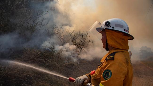
A total fire ban has been issued for South East Queensland, with wind gusts of more than 30km/h expected to exacerbate an extreme fire danger.
A recent drying period combined with hot dry wind have led to the potentially dangerous conditions with authorities hoping to avoid a repeat of the suspicious lit 40-50ha blaze at Pimpama last week.
Queensland Fire and Emergency reiterated the ban alongside high danger ratings across much of the state on Wednesday.
The Bureau of Meteorology senior forecaster Kimba Wong warned locals to be wary of smoke blowing through the dry gusty conditions.
“Even though we‘ve had very wet conditions over the last few months there has been a brief period of drying and there have been a few fires burning around South East Queensland in the last week or so, and the conditions are not great for fires today,” Ms Wong said on radio this morning.
Recent warm weather has led to heightened fire conditions across much of the state today. With high Fire Danger Ratings in place for much of Qld, keep your eyes peeled for warnings. Make sure you report any bushfire activity as soon as possible by calling 000. 📷 Pimpama Nov 11 pic.twitter.com/A9rShQFW6H
— Qld Fire & Emergency (@QldFES) November 15, 2022
The risk of fire extends across the state with high danger ratings in the Gulf Country, Northern Goldfields and Upper Flinders, Central Coast and Whitsundays, Central West, North West and Wide Bay.
There is relief on the way, however, for South East Queensland as cooling trends lessen the fire risk and overnight temperature drops will bring an easier night's sleep from tomorrow.
“Minimum temperatures will be cooler than they have been by a few degrees at least as we head through the next few nights.”
“Hopefully a bit of a relief there,” Ms Wong said.
The mercury was expected to top 31C in Brisbane on Wednesday, with sunny skies and south-westerly winds reaching 35 km/h in the morning then slowing to 15 to 25 km/h in the late evening.
A cooler south-easterly wind change will spread along the east coast from Thursday, with “fresh and gusty” south-westerly winds bringing relief.
The Bureau predicted overnight temperatures will fall to between 11-15C in Brisbane, with a sunny day for Thursday and temperatures reaching the low to mid 20s.
Conditions will remain the same until the weekend when The Bureau predicts hot days with maximums near 30C and the possibility of some showers on Sunday.
“That’ll be when we start to see the next trough system moving into South East Queensland coming in from the west and returning the chance of some showers,” Ms Wong said.
“Ahead of that system it will be quite a warm, warm day on Sunday with the northerly winds ahead of the troughs but a shower or thunderstorm certainly not out of the question but, perhaps a little bit later in the day.”
What’s happened to La Nina?
It has been a warmer and drier month than expected after a third La Nina was declared and Premiere Annastacia Palaszczuk warned of cyclones starting this month.
The Bureau atmospheric scientist Brooke Pagel said while we have been spared dangerous wet conditions so far, La Nina is still active and there are other factors to keep an eye on.
“We’re in a negative Indian Ocean Dipole phase as well, along with something that‘s called Madden-Julian Oscillation that’s strengthening, so we do expect a lot more tropical cloudiness, there’ll be a lot more rainfall out of that as well,” Ms Pagel said.
“These are three climate drivers, quite different from each other … that do increase the indications of wetter weather for eastern Australia.
“With their powers combined … there’s increased risk of flooding in Queensland so it‘s something we are keeping an eye on basically across Northern Australia and Eastern Queensland and Northern Queensland as well.”
She noted November had been drier than expected in the southeast of the state, which currently sits at about average rainfall totals with only a few showers on the way.
“We are expecting another rainfall event from Sunday or Monday but that one’s actually quite a quick-moving system so we’re not expecting any significant totals out of that.”
“It‘ll just be more of a typical spring shower.”
Heading into the remainder of the year Ms Pagel said we will have to wait and see when the monsoon conditions will eventuate but said they are coming.
“It‘s just a matter of time until that kind of environment comes together to form that.”
What is the weather doing at the moment?
Today The Bureau predicted clouds with isolated showers and thunderstorms in northern and eastern Queensland, north of K‘gari (Fraser Island).
A risk of severe thunderstorms with damaging winds and large hail about Yeppoon and the Capricornia region, while severe heatwave conditions continued developing for the Peninsula about Weipa.
The Bureau said the stifling heatwave will continue until at least the weekend with isolated showers and thunderstorms about the western Peninsula, Gulf Country, and Torres Strait while towards the NSW border the Granite Belt may get patchy morning frost.
A slack pressure gradient will remain over the Far North for the next few days while a trough extending from the Gulf Country across northern interior and central Queensland will contract to the north and weaken.
The next trough will move eastwards across western Queensland over the weekend, before possibly reaching eastern districts late Sunday or Monday.
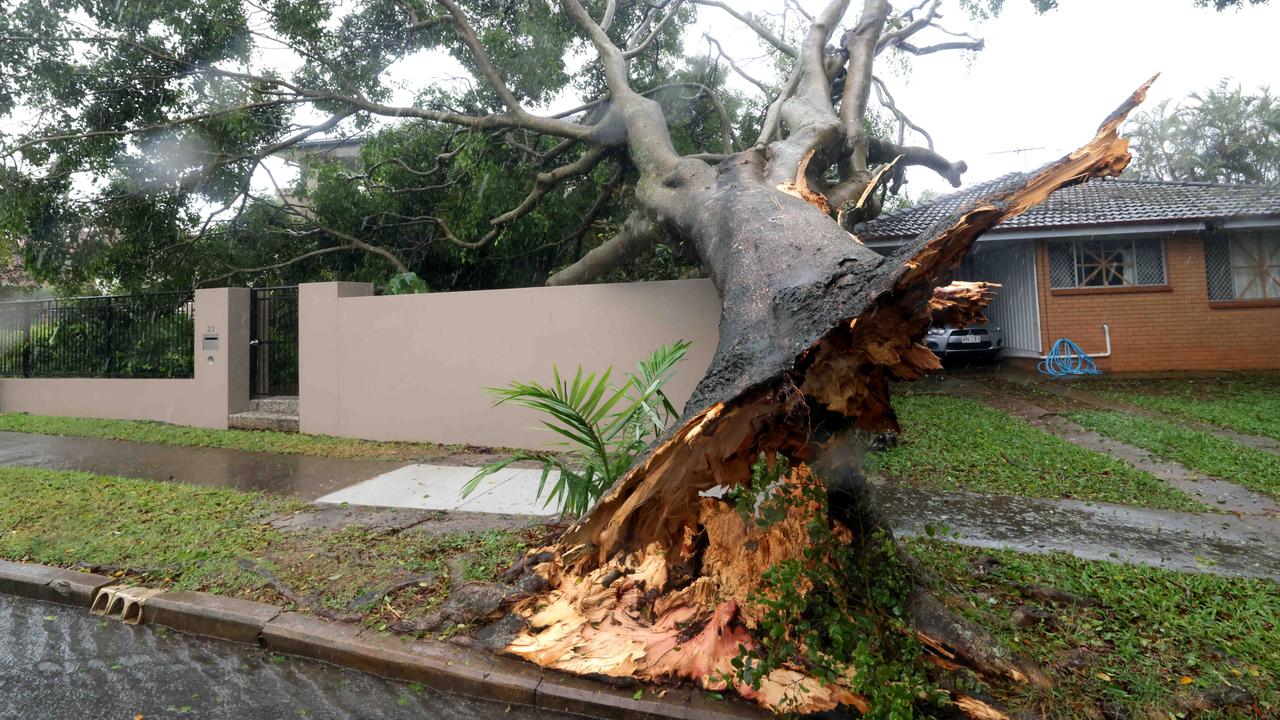
Cyclone insurance claims soar
More than 31,000 claims were lodged across the southeast after ex-tropical cyclone Alfred dealt widespread damage to thousands of houses, properties and cars. See where the most claims were made.
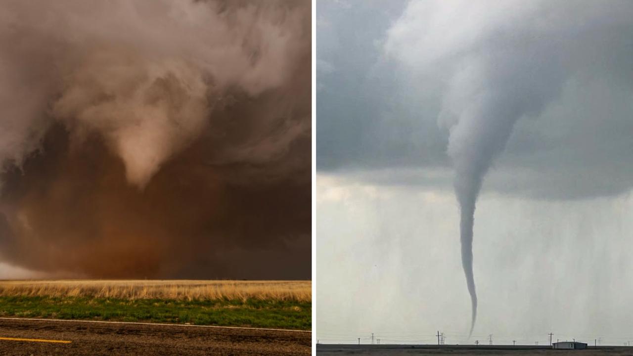
Roof tearing tornadoes captured by Queensland storm chaser
A Queensland storm chaser has captured remarkable photos of destructive tornadoes that have wreaked havoc across Texas. SEE THE PHOTOS