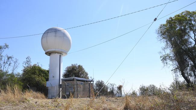
Brisbane weather radar shutting down – what you need to know
The Bureau of Meteorology will shut down one of its most popular weather radars for six months. Here’s what you should do.

The Bureau of Meteorology will shut down one of its most popular weather radars for six months. Here’s what you should do.

Summer-like heat and sunshine have remained steadfast in Queensland throughout school holidays – but it won’t last.

Windy weather is forecast over the next few days but it isn’t expected to be as blowy as the weekend, when gusts up to 69km/h were reported in South East Queensland.

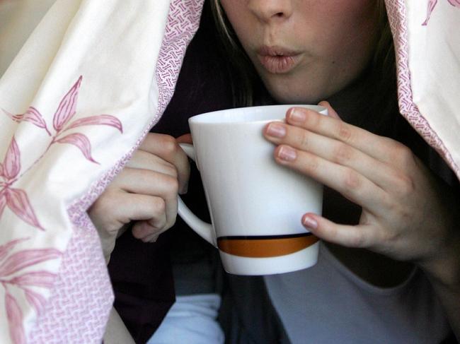
The rest of the Easter long weekend is going to be hot with above-average temperatures – but then the cool change will set in.
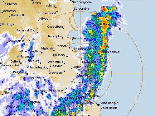
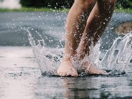
Heavy rain and storms are on the way, with some parts of Queensland expected to receive more than their monthly rainfall averages in a 24-hour period.

Most of Queensland will enjoy temperatures in the mid-20s this week as the state enjoys an early taste of spring. FIVE-DAY FORECAST
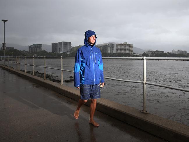
Strong winds and thunderstorms have hammered southeast Queensland this afternoon, adding to what was already the wettest July day in 15 years for some areas.
With decent falls already being recorded across parts of southeast Queensland, the area is bracing for more rain with storms forecast.
With falls of more than 55mm already recorded in some parts of the southeast, storms are forecast to bring in more rain this weekend – and then the mercury will plummet. FIND OUT WHAT’S IN STORE FOR YOU

Wet weather is closing in on the southeast corner from today and through the weekend, with up to 80mm expected in some parts, prompting a grim reminder for Queenslanders. CHECK OUT THE FORECAST FOR YOUR AREA
The Bureau of Meteorology is warning off an unseasonal weather event for Queensland in coming days.
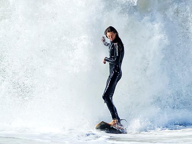
An extreme weather system that brought huge seas to the NSW coast will hit popular Queensland beaches this weekend, causing hazardous conditions.
Original URL: https://www.couriermail.com.au/news/queensland/weather/page/197