
Qld weather: South East told to prepare for floods as west hammered
A flood warning has been issued after huge overnight rainfalls. The event comes as Brisbane’s Lord Mayor pleads for locals to prepare for a big wet season.

QLD weather news
Don't miss out on the headlines from QLD weather news. Followed categories will be added to My News.
South East Queensland will be spared a majority of the heavy rainfall heading across the state this week, as western areas cop a drenching.
Emerald recorded more than 132mm in five hours yesterday - its wettest days since March 2, 1994.
Since 9am Tuesday Emerald’s total rainfall has exceeded 146mm.
The big falls have led to localised flooding which closed the Capricorn Hwy at Winton Creek, about 9km east of Emerald, earlier today.
One lane of the highway has since reopened but delays are expected to continue.
ROAD CLOSED: Capricorn Hwy, 9km East of Emerald is CLOSED at Winton Creek due to flooding. Please avoid the area. If it's flooded, forget it. #qldtrafficpic.twitter.com/e4rdklyLps
— Queensland Police (@QldPolice) October 18, 2022
On Wednesday morning, Blackwater had recorded more than 85mm since 9am on Tuesday, while Clermont Airport had received 84mm in the same time frame and Lochington got 77mm.
A minor flood warning has been issued for the Barcoo River downstream of Isisford.
The Bureau says the Barcoo River is currently at 2.01 metres and rising. It was expected to exceed the minor flood level of 2.10m late on Wednesday morning with further rises coming over the next few days.
20 - 40 mm of rain has hit the region over the past 24 hours and forecast thunderstorms are expected to bring isolated heavy falls with Southern Inland catchments on flood watch.
SEQ FORECAST
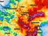
The southeast corner will be spared the worst of the wet weather on Wednesday, with most rainfall remaining west of the ranges in central and western Queensland.
“It will be gloomy and overcast, there’s no denying that, and you might get a few millimetres in your garden gauges, but it won’t be a downpour or anything like that,” Bureau of Meteorology forecaster Helen Reid said.
“The trough will start to move east throughout late today and so on Thursday we will see a bit more rain, so between 5mm and 10mm is likely, but if we get a storm and you’re under that those totals could be more like 30mm or 40mm.”
Ms Reid said storms, possibly severe, were more likely in the afternoon Thursday, but said there was still a chance they could arrive earlier than expected.
“The afternoon is more likely because the sun would have a chance to heat everything up and bring a bit of instability with that, but then again, we’ve seen those storms through western Queensland all night so you couldn’t rule that out.”
Friday will see showers and possible storms intensity, before reaching their peak on Saturday with possible totals for the Brisbane region nearing 30mm.
REGIONAL FORECAST
Widespread rain is forecast to affect areas between central and eastern Queensland, from Mackay down to the NSW border.
Meteorologist Pieter Claassen said excessive rainfall totals would depend on whether a second system arrives immediately “off the back” of the current slow moving trough.
He said the bureau was still unsure of when skies would clear, but would have a better gauge on the arrival of second system in coming days.
“This large and slow system has caused the several days of rainfall, there’s no certainty of when it will clear. It could be the weekend,” he said.
As the system tracks closer to the southeast later in the week, rainfall for Central Queensland towns will begin to dissipate.
Mackay is forecast to receive between 20mm and 50mm on Thursday, dropping back to 35mm on Friday, and just 2mm on Saturday.
“There is a risk of another system coming off the back of that afterwards to maintain that wet-weather activity, then we could see totals in excess of 50mm, maybe even approaching 100mm in parts depending on how the system unfolds,” Mr Classen said.
“At this stage it’s looking to impact further south like NSW and Victoria, but it could also potentially affect Queensland.”
FLOOD RISK
Brisbane Lord Mayor Adrian Schrinner yesterday urged residents to start flood preparations ahead of the prolonged wet weather.
Cr Schrinner urged the 65 per cent of Brisbane households that were yet to sign up to council’s free weather alert system, to do so.
“Since the February floods we have had almost 15,000 people sign up to this system which is able to quickly send targeted warnings to residents,” he said.
“This means almost 35 per cent of households are registered for the alerts, but if you haven’t signed up please do so today.”
Residents in western parts of the state have been advised to keep an eye on flood watch alerts as the Bureau updates catchment and river information.
Ms Claassen said rivers and catchments in the west were more likely to flood compared to SEQ – which could still see a potential for flash flooding depending on the severity of storms crossing over on Thursday and Friday.
“So far in October it hasn't been too wet (in South East Queensland) which is good news given as before October things were a bit saturated,” he said.
“Further west things are saturated, so we do have concerns for the western catchments and we will have flood watch alerts out for the west.
“The southeast has a slight risk of flash flooding due to those heavy falls and storms which could bring flooding to riverines and creeks but we don’t expect them to be widespread.”
Ms Reid said the Bureau could not rule out issuing more flood alerts throughout the rest of the week.
“The problem is these areas with all the rainfall, and really, most of the state, have already had a lot of rain recently and these rivers are already full,” she said.
“We look at the forecast and just think ‘we don’t need anymore rain there’.”
She said flood warnings would be dependent on whether thunderstorms develop over saturated catchments.
“This system is quite slow moving and so there is the risk of much heavier rainfall under those storms.”
“We do have a few warnings already out, and really that is about being prepared and making sure people have the time to get ready.”
Southern Queensland catchments likely to be affected include:
- Condamine Rivers
- Macintyre River
- Weir River
- Moonie River
- Balonne River
- Wallam and Mungallala Creeks
- Warrego River
- Paroo River
- The Big Warrambool River
- Bulloo River
- Barcoo River
- Thomson River
- Cooper Creek
Read related topics:Weather
Join the conversation
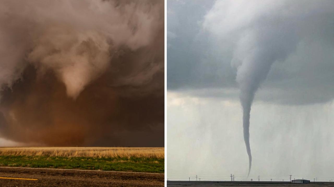
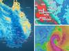
Roof tearing tornadoes captured by Queensland storm chaser
A Queensland storm chaser has captured remarkable photos of destructive tornadoes that have wreaked havoc across Texas. SEE THE PHOTOS
Read more
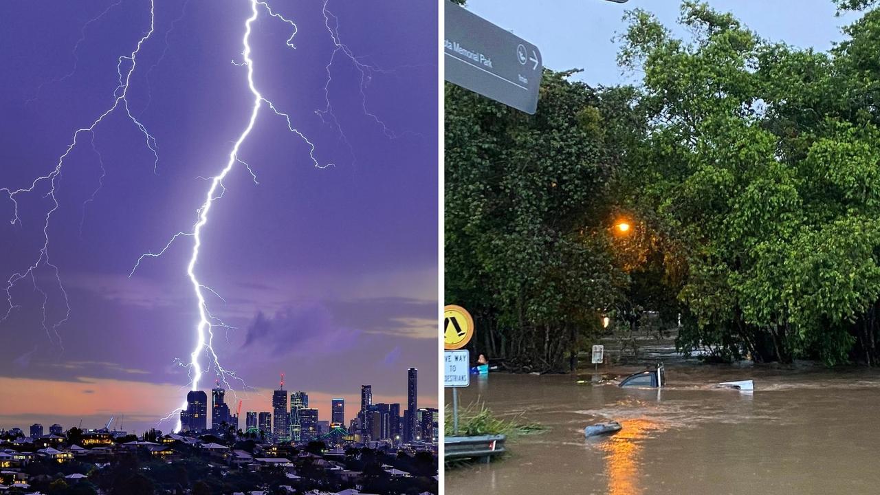
‘Everything was on fire’: Teen recounts being struck by lightning
A Southeast Queensland teen has recounted the horrifying moment she was struck by lightning during last night's wild weather, which saw her and another woman raced to hospital.
Read more