
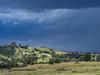
Rainfall: Wet summer endures
Some parts of the state have recorded more than an inch of rain overnight, helping fuel an abundance of green feed. Here’s where the rain fell.
Farmers throughout Victoria have again emptied full rain gauges after some handy falls arrived overnight.
But some parts of the state are facing a severe weather warning for the rest of the day, with heavy rainfall and the potential for flash flooding on the horizon.
Bureau of Meteorology rainfall data shows more than 20mm has fallen in the Euroa region, with 28mm recorded near Shepparton.
About 14mm has fallen near flood-affected Seymour today.
In the northeast of the state, weather stations near Birchip and Buloke recorded close to 30mm of rain in the 24 hours to 9am, with the Charlton station recording 33mm of rain.
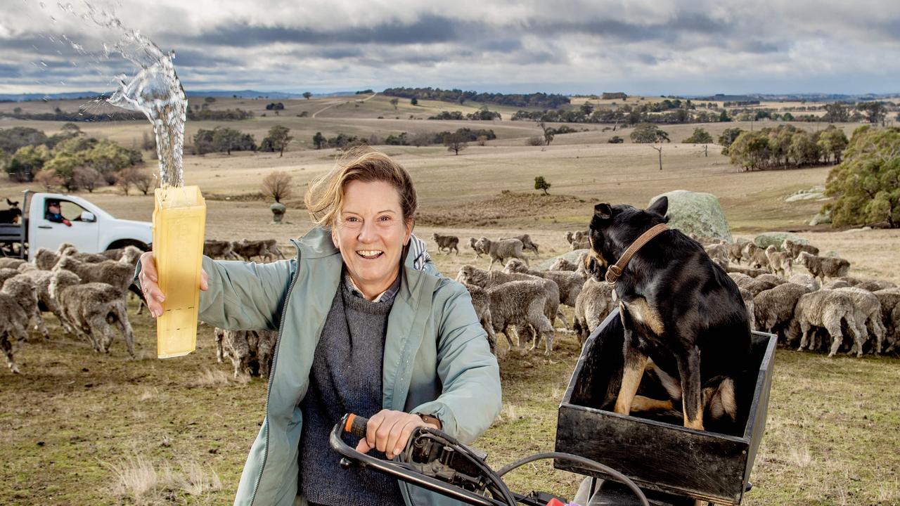
Kate Mitchell farms at Heathcote and Woomelang and has welcomed falls of close to 30mm.
“We had 25.2mm at the farm at Heathcote and 29mm at Woomelang,” she said.
“We are certainly welcoming the overnight rain at both places.”

Mrs Mitchell said she had never seen such an abundance of green feed.
“It is putting moisture into the soil and setting us up nicely for the year ahead,” she said.
At Banyena, Chris Drum recorded 23mm in the gauge this morning.
“It has stopped raining now, but I wouldn’t say it has all gone,” he said.
Mr Drum said there could be more showers to come in his area.
“It is very welcome, and I am happy to take the rain at this time of the year,” he said.
Harvest was completed at his place last year, and he said the rain now was ideal for building up the soil moisture profile.
The bureau issued a severe weather warning for parts of the North East and northern regions of Gippsland from later today, with a forecast for 50 to 80mm of rain.
Regions flagged as potentially being affected are Wodonga, Corryong, Bright, Falls Creek, Mt Hotham and Mt Buller.

Weather wrap: Where the rain fell
Longed for follow up rain has graced some areas but left others untouched across south-eastern Australia as the failed autumn break continues to take its toll on farmers.
‘It’s certainly been morale boosting’: Rain brings change of fortunes
Kate Paterson has tipped 30mm from her rain gauge, bringing an end to a long dry period at Nulla Vale.