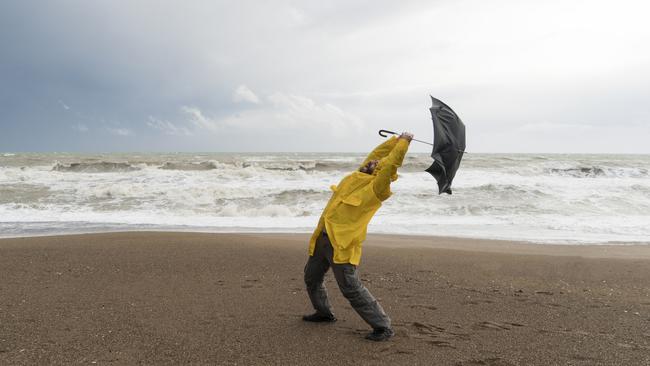
Warning flash flooding, thunderstorms, damaging winds could strike parts of Tasmania
A warm Saturday is forecast to give way to severe weather, particularly in northern Tasmania with flash flooding a possibility. Here’s what to expect.

Weather
Don't miss out on the headlines from Weather. Followed categories will be added to My News.
Barmy spring weather is expected to give way to heavy rainfall and possible flash flooding for parts of the state this weekend.
The Bureau of Meteorology forecasts Devonport, Launceston, Scottsdale, Whitemark, Bridport and Fingal could all be affected by severe weather — namely heavy rainfall and damaging winds.
Senior meteorologist Jonathan How said alerts were issued for Australia’s south-east — including northern and north-east Tasmania.
“Heavy rainfall will fall from early Sunday morning,” he said.
“On Sunday we’ll see that rain really picking up across north-east Victoria, as well as north-east Tasmania and much of the western slopes of New South Wales.
“The shift from hot and dry to wet and stormy will be quite pronounced.”
He said there could be six hourly rainfall totals up to 60mm, with higher localised flash flooding events a possibility.
In Hobart, showers are more likely in the afternoon.
While winds above 100km/h is forecast to hit mostly elevated areas, it is also possible at lower elevations.
There’s no high fire danger this weekend, unlike on the big island.
BOM does warn thunderstorms are possible.
The severe weather is set to ease during Sunday afternoon once the front has crossed the state.
SUNDAY FORECAST
Hobart: Showers max 25C
Launceston: Showers max 22C
Devonport: Showers becoming windy max 19C
Burnie: Showers becoming windy max 19C


