
More than 30mm of rain falls in Central Australia
CENTRAL Australia is getting a very welcome drench with some locations receiving more than 35mm of rain in the past 24 hours
Centralian Advocate
Don't miss out on the headlines from Centralian Advocate. Followed categories will be added to My News.
- Parts of Central Australia on flood watch with highest rainfall in years forecast
- Temperatures to plummet as sweltering heat gives way to storms, ‘drenching’ rain
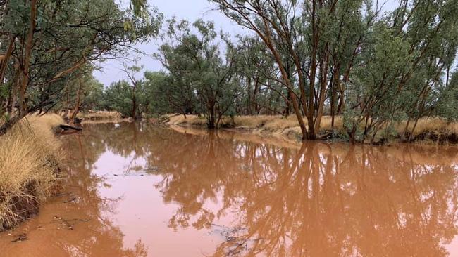
CENTRAL Australia is getting a very welcome drench with some locations receiving more than 35mm of rain in the past 24 hours as a cloud band moves across the NT.
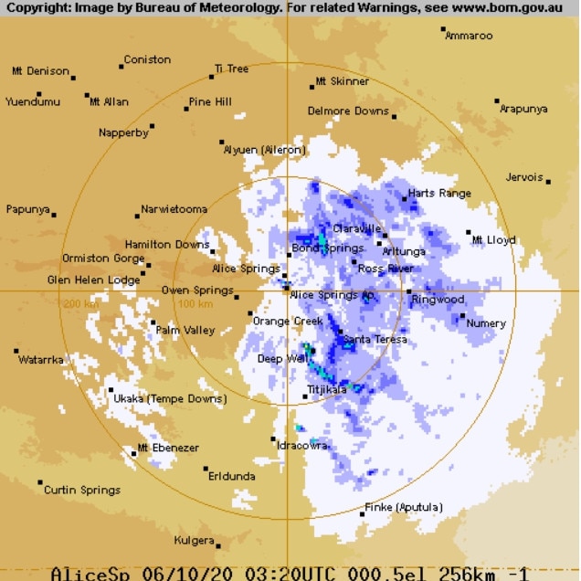
The Bureau of Meteorology’s (BOM) rainfall statistics for the last 24 hours until Tuesday 9am showed Alice Springs receive 9mm of rainfall.
MORE CENTRALIAN NEWS
Feds kick in $1.5m grant for major heritage zone
HomeBuilder scheme sparks surge in new home builds in the NT
Angry customer accused of assault, arson faces court
BOM also issued a flood watch for the MacDonnell Ranges and Simpson Desert for today.
Alice Springs has seen 14mm of rain since October 4.
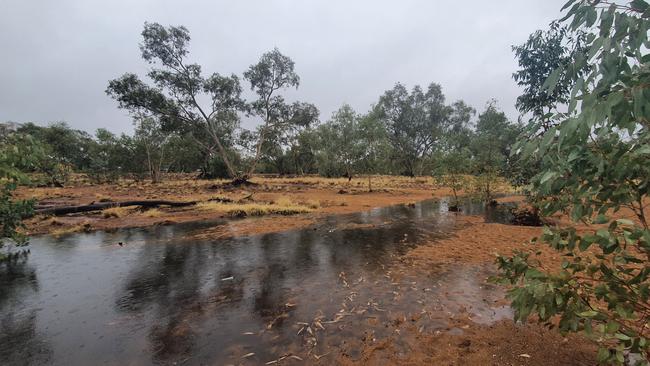
Other locations in Central Australia have received up to 36mm in the past 24 hours.
Bond Springs received 18mm.
The Garden received 36mm.
Trephina Gorge received 26mm.
Uluru also got a drizzle with 2mm recorded at Yulara Airport.
Residents have also experienced a severe drop in temperatures since yesterday.
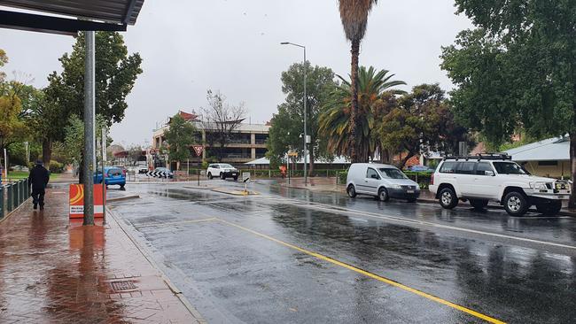
Weekend temperatures were recorded at 37.5C but the maximum temperature in Alice Springs today is forecast at 14C.
BOM predicts the chance of a thunderstorm for Alice Springs later today.
Wednesday will see easing rainfall and a top of 19C.
From Thursday the district will see sunny conditions and temperatures warming back up.

State pride – with a twist – on the line at Alice Springs Show
State pride is up for grabs at a stand at the Alice Springs show, which organisers say is one of the first to sell out. Take a sneak peek at this year’s corrections stand.

Tennant Creek residents escape burning building
Crews battled through the night to battle a blaze that engulfed an entire Tennant Creek home. Read the latest.