Temperatures to plummet as sweltering heat gives way to storms, ‘drenching’ rain
SOME NT residents may have to get their jumpers back out with a 20C drop in temperatures expected, bringing winter-like conditions and ‘drenching’ rainfall

Centralian Advocate
Don't miss out on the headlines from Centralian Advocate. Followed categories will be added to My News.
- It’s official: NZ travel bubble deal sealed with NT
- CAMP GUIDE: 8 of the best spots to camp in the Red Centre
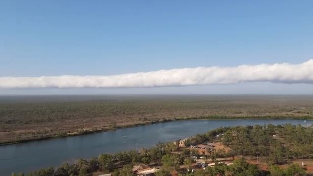
TERRITORIANS should get prepared for an extreme change in weather over the next few days, with sweltering conditions this weekend expected to give way to storms, “drenching” rain and a cold blast in the south next week.
It’s forecast to reach 37C in Alice Springs and Tennant Creek on Saturday and Sunday, but residents may have to get their jumpers back out next week with a 20C drop in temperatures expected, bringing cold conditions to Central Australia.
In the Top End, Saturday’s maximum temperatures are forecast as 34°C in Darwin and 38°C in Katherine.
Meteorologist Sally Cutter said storms and rain are expected across much of the NT from this weekend and early next week.
#AliceSprings is forecast to receive about 50mm of rain early next week as a cloud band moves across southern NT. Expect temperatures to cool from high 30°Cs on Sunday (left pic) to mid teens on Monday (right pic) Forecasts here https://t.co/U3MNSSAKiY pic.twitter.com/rjvIapm9gZ
— Bureau of Meteorology, Northern Territory (@BOM_NT) October 2, 2020
MORE NEWS
Plans for new Territory highschool homeschool hub
Jacinta Price appointed new deputy mayor of Alice Springs
‘I’m strongest when in the bush’: Gwoja MLA Chansey Paech reveals aspirations for Central Australia
New locally-created app teaches Alice Springs’ first language, Arrernte
“From Sunday, southern districts of the NT will start to experience drenching rainfall from a significant cloud band developing over Central Australia,” Ms Cutter said.
“Yulara could see up to 15-20mm on Sunday from persistent rain.
“Across Monday and Tuesday both the Top End (including Katherine) and Alice Springs area can expect wet conditions to develop.
“It should bring short-term relief from the sticky heat in the north, and cool things down considerably in the south, with Alice Springs max temperature tipped to drop by 21°C, from 35C on Sunday to just 14C on Monday.”
The start of next week could see up to 50mm of rain around Alice Springs.
“Thunderstorms could drop 25mm of rain around the Western Top End from Monday to Thursday, with the greatest chance of rainfall in Darwin occurring on Tuesday,” Ms Cutter said.
“The bulk of the rain around Alice Springs is forecast to fall Monday and Tuesday, with about 50mm possible as the cloud band moves across next week.”
Showers and possible storms are forecast from Monday to Thursday next week in Darwin, with maximum temperatures forecast at 33C.


