
Coastal communities brace for first cyclone of the season
COASTAL residents at the NT/QLD borders are being told to brace for the first cyclone of the season anticipated to form over the Gulf of Carpentaria

Travel
Don't miss out on the headlines from Travel. Followed categories will be added to My News.
- Moderate chance of cyclone forming in Gulf of Carpentaria on Monday, says BOM
- Get ready for a brolly good deluge, the monsoon’s here!
COASTAL residents at the NT/QLD border are being told to brace for 100km/h winds with the first cyclone of the season anticipated to form over the Gulf of Carpentaria.
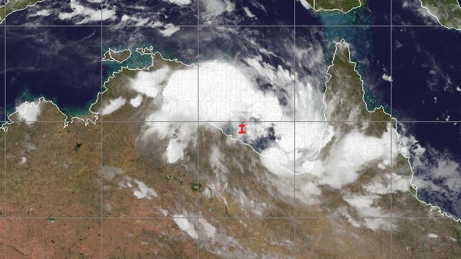
The Bureau of Meteorology said a tropical low over the southern Gulf of Carpentaria may develop into a tropical cyclone on Monday morning as it moves to the east southeast and approaches the southeast Gulf coast.
The tropical low was located about 100 kilometres north northeast of NT/QLD border at 4am and was moving in an easterly direction at about 12 km per hour.
MORE TOP NEWS
Territory tarot reader sees cyclones ahead for NT in 2021
Woman in critical condition after serious crash in Darwin rural area
Westin Hotel site reopens … but no sign of $200m project restarting
The low is anticipated to intensify today as it continues moving east across the southern Gulf and potentially develop into a tropical cyclone at about 10am on Monday.
As a result, coastal and island communities between the NT/QLD border and Kowanyama are being warned to expect wind gales over an area of 100km/h.
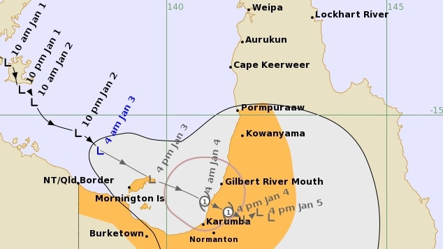
Abnormally high tides and large waves are expected about the southeastern Gulf and Western Cape York Peninsula as the cyclone approaches the coast.
NT NEWS sizzling new deal: Get all your news for just $5 a month
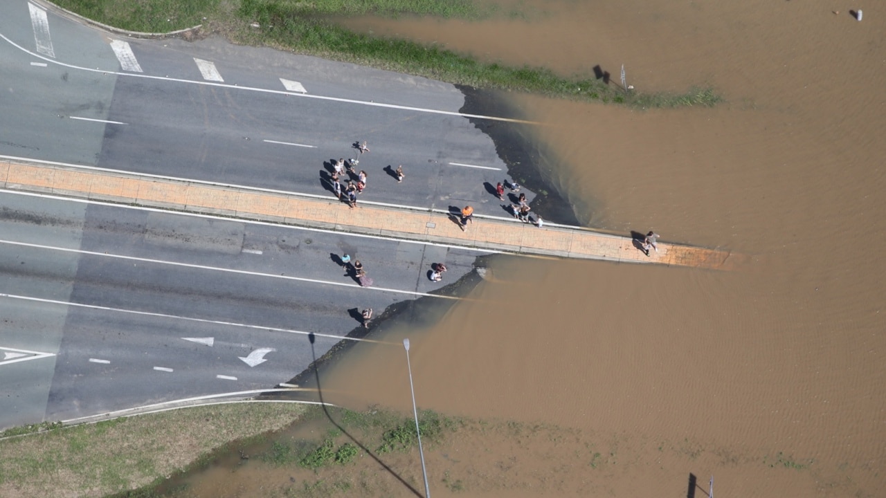
Heavy rainfall is also likely to lead to flash flooding of low lying areas and riverine flooding will develop about the southeast Gulf of Carpentaria coast and adjacent inland later today and spread to remaining areas of southern Cape York Peninsula on Monday as the low or tropical cyclone moves onto the coast and further inland.

‘Un-Bali-vable’: Cheap flights, hotels take off in major sale
The travel bug has once again hit the Territory as cheap Bali airfares – and accommodation – go up for grabs.

Qantas quietly makes change that will cost travellers more
The national carrier has quietly increased the cost of changing or cancelling domestic flight bookings. See how much it will cost you.