
Warnings amid 33-hour snow bomb set to sweep neighbouring country
Forecasters have warned residents and tourists alike to take extra care while on the roads over the next three days, with snow, wind and rain set to hit a popular destination.
If you’re planning on being in New Zealand this week, here’s a hot tip; bunker down.
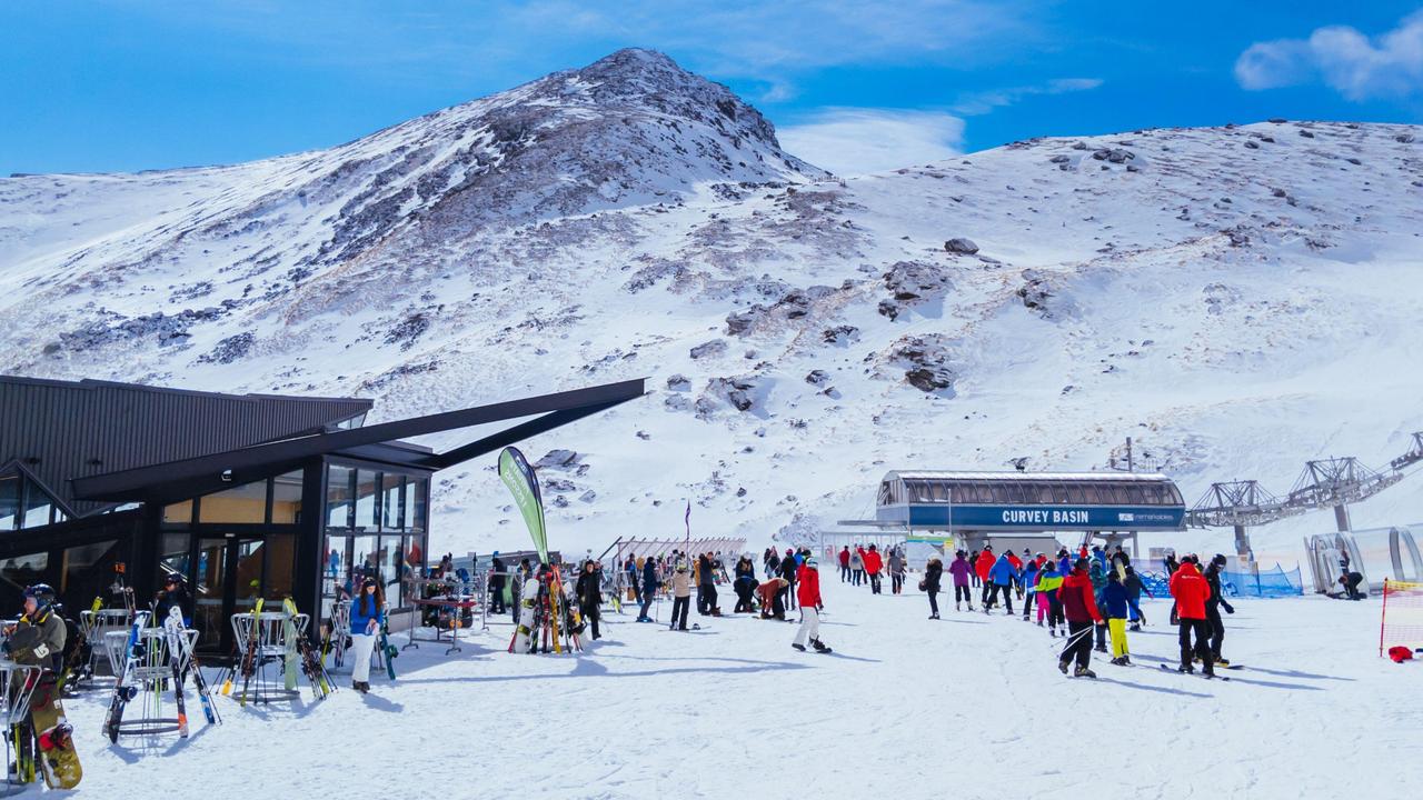
Forecasters have issued a warning for severe rain, wind and snow ahead of a three-day weather bomb set to drop on in parts of the South Island.
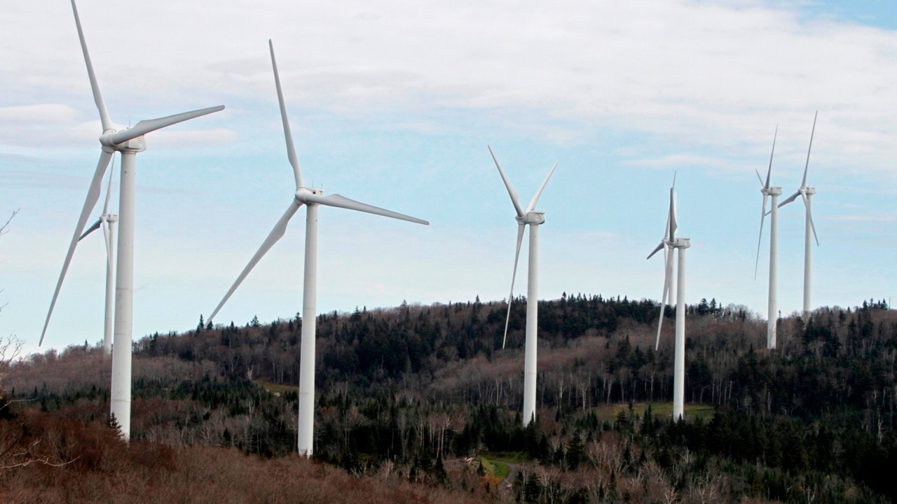
With the winter ski season well underway, the dumping of snow will be welcome for the various fields plotted around Queenstown and surrounds, however along with the snow is widespread wind and rain as well.
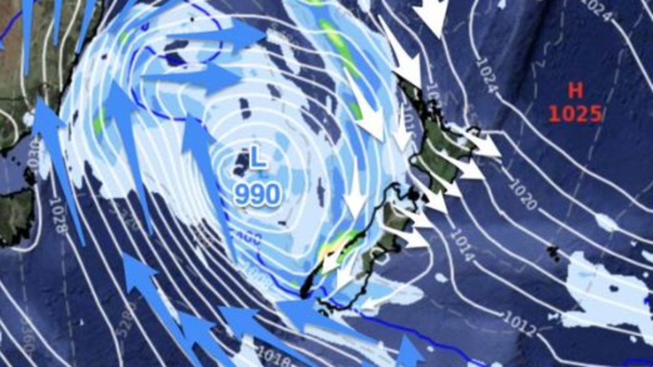
Speaking to New Zealand Herald, MetService forecaster Gerard Bellam said the 33-hour weather system is heading down from the Tasman Sea bringing a tirade of cold, wet, windy and ultimately snowy conditions with some regions likely to receive 100-120mm in half a day.
As part of the weather system, the snow level reduced between 300m to 500m for Monday evening and through until Tuesday morning, with potentially large accumulations about eastern Otago — a popular spot for winter-season tourists.
“People do need to take care and keep up to date with our forecasts and warnings for the next few days,” Mr Bellam said.
“Streams and rivers may rise rapidly. Surface flooding, slips, and difficult driving conditions possible.”
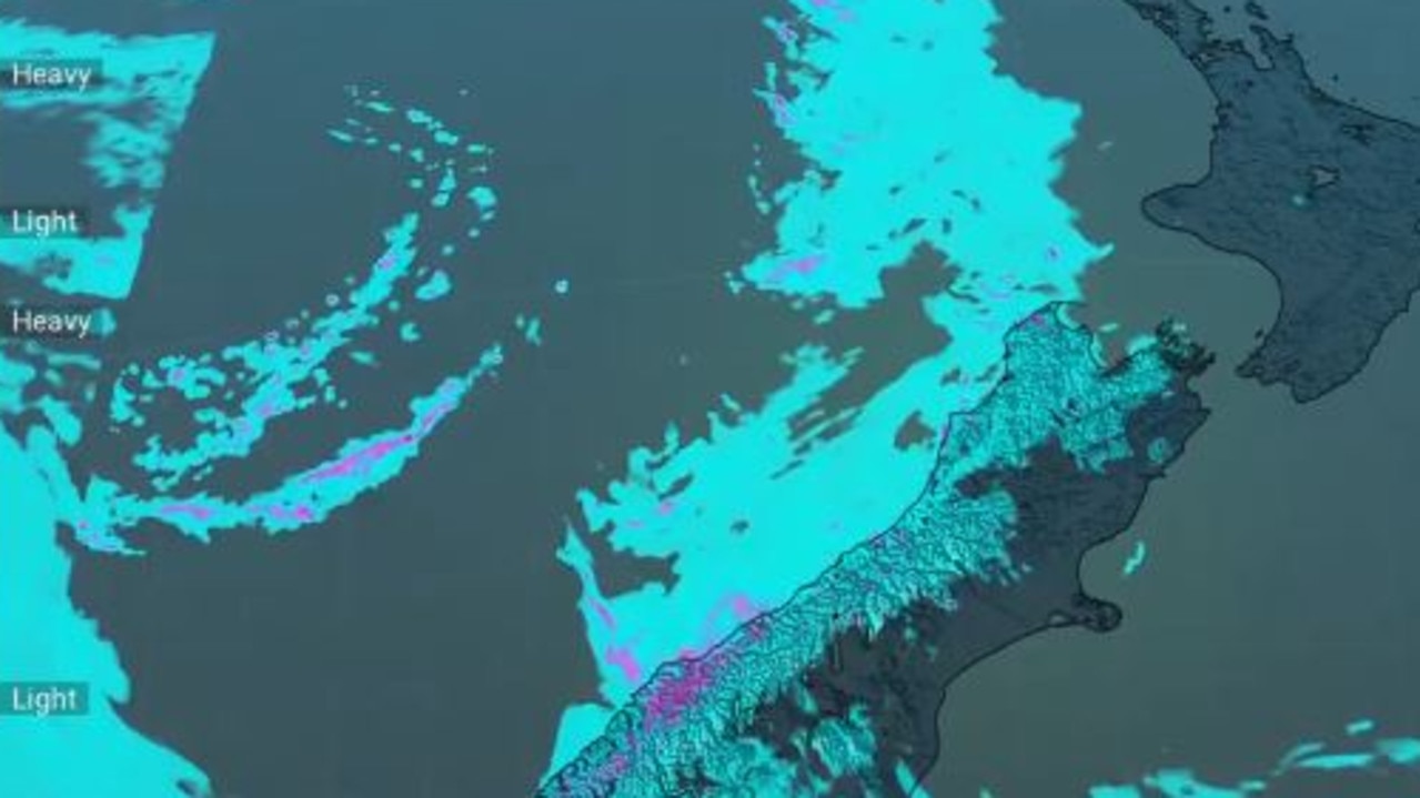
MetService meteorologist Mmathapelo Makgabutlane added that forecasters across the country were keeping an eye especially on the southeastern South Island, in areas like North Otago, Dunedin, and Clutha.
“It’s not often we see persistent rain like this in this part of the country, and the area does not need large amounts of rain for impacts to be felt,” Ms Makgabutlane said.
“Although it’s all happening in the South Island during the early part of the week, it’ll be a good idea for people in the eastern North Island to also have a close eye on the forecast.”
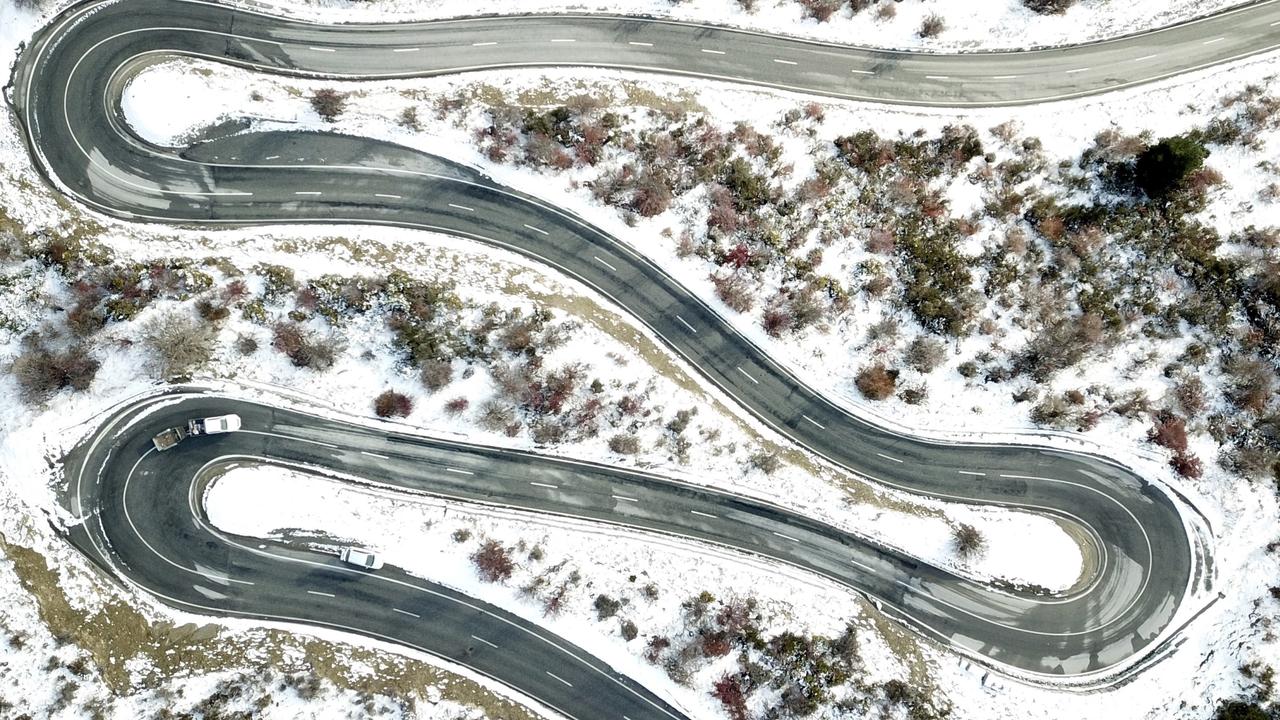
MetService added that Inland Southland, Otago and Canterbury have a possibility of heavy snow above 500-800m, with lesser snowfall amounts possible down to 200-300m.
South Canterbury High Country could see 30-40cm of snow settling above 500m.
“Other parts of the South Island may also see snow, including Banks Peninsula and inland Marlborough, although at this stage unlikely to be heavy.”
Meanwhile over the ditch, Australia is currently shivering through an icy blast this week, with one city waking to subzero temperatures.


Canberra dropped to a chilling -3.5C on Monday morning, with the rest of the week expected to bring in similar frosty starts each day.
The territory is set for a low of -4C on Tuesday, -3C on Wednesday, and -1C on Thursday and Friday during the cold blast.
Frost was forecast for large swathes of Victoria, Sydney, the ACT and even southeast Queensland on Monday morning, with the icy temperatures likely to continue into the week.

One thing Aussies going into debt for
Aussies are prioritising one thing at the expense of a long-term financial future, and there could be serious consequences in the long run.
Gross warning for popular Sydney beaches
Dozens of beaches and bays across Sydney prone to pollution from human poo have been issued with a water quality warning.

Horror pics inside ‘disguised torture chamber’
A “sadistic” haunted house experience where participants are warned of finger breaking and tooth pulling has been shown in shocking images.