
‘Widespread frost outbreak’ brings subzero temperatures for parts of Australia
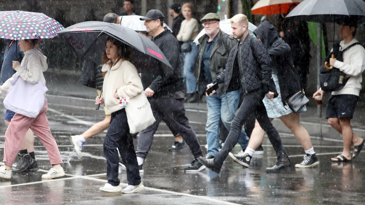
Millions will shiver through record-low temperatures as an icy blast continues to sweep through Australia, with one city to suffer through subzero conditions.
Millions of Australians will shiver through record-breaking sub-zero temperatures, as the entire country suffers through an icy blast.
The record-breaking chill will be felt across NSW on Tuesday, with a meteorologist warning of “unusually low” temperatures.
The icy blast comes after much of the country saw a cold change sweep through over the weekend.
On Tuesday NSW will endure dry weather conditions as a result of a strong high-pressure ridge, which is holding the cold weather over the state’s inland area.
“We can expect more cold and frosty mornings across NSW up until mid-week,” BOM meteorologist Jiwon Park said on Monday.
“The cold snap is nothing unusual, but the minimum temperatures reaching that low is unusual.”
The icy blast is expected to bring record-breaking temperatures to central and southern NSW.
The Lower Central West, South West Slopes, and eastern Riverina are forecast to have lows that are below the July record.
Temora in the south-west of NSW has a July record of -6.4C, but it is forecast to hit -7 on Tuesday.
Young, Forbes and Parkes are also predicted to freeze.
“If we are seeing -6 degrees tomorrow morning, it will either be reaching the record, or record-breaking July minimum temperatures,” Mr Park said.
Across much of the state, the minimum temperatures are expected to drop below the average for the season.
Wagga Wagga is expected to wake to -6C, with Orange seeing lows of -4C and Tamworth -3C.
Canberra woke to subzero temperatures on Monday, waking to a chilling -3.5C.
The rest of the week is expected to bring in similar frosty starts.
The territory is set for a low of -4C on Tuesday, -3C on Wednesday, and -1C on Thursday and Friday during the cold blast.
Queensland is also suffreing through the chilly weather, with records broken earlier in the week as temperatures dropped to 3-6C below the July average.
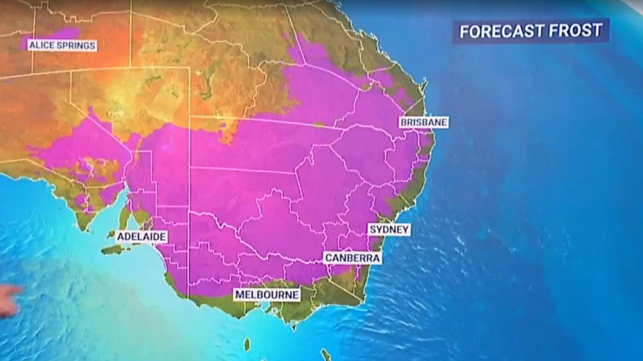
Sky News Weather Meteorologist Rob Sharpe said this the “widespread” outbreak, which began on Sunday, is expected to increase in size and stature into Tuesday and Wednesday.
“For the southeast of the country, the frost that we saw in Canberra on Saturday morning was just a taste of what is to come through the start of the week,” he said.
“A widespread frost outbreak will take shape across the country.”
In NSW, the Bureau of Meteorology to issue a large-scale warning to sheep graziers in the Mid North Coast, Hunter, Northern Tablelands, Illawarra, South Coast, Central Tablelands, Southern Tablelands, North West Slopes & Plains, Central West Slopes & Plains, South West Slopes, Snowy Mountains forecast districts.
Despite this, Sydney will be considerably warmer than Canberra, with maximum temperatures ranging between 16C and 19C throughout the week.
However, possible showers are expected on Monday right through to Friday.
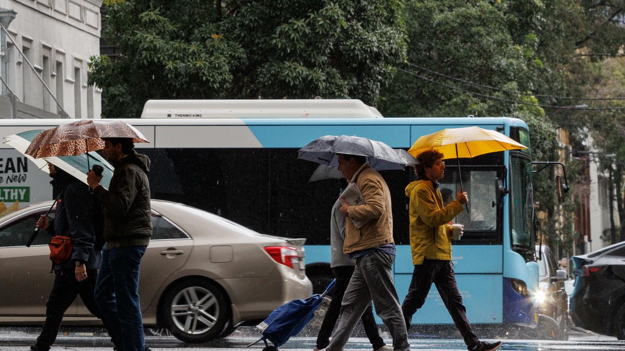
South-westerly winds between 25 to 35km/h could however increase the wind chill factor and make temperatures feel colder than what they are.
Melbourne is expected to shiver through a cloudy and cold day punctuated with a high chance of showers, with a minimum of 7C and a high of 14C forecast for Monday.
Wednesday will be the coldest out of a chilly week, with the temperate to drop to 3C and a max of just 13C.
In South Australia a frost warning is in place for the Mount Lofty Ranges, Mid North, Riverland, Murraylands, Upper South East and Lower South East forecast districts, where temperatures could creep down between -2C to -4C.
In Adelaide, the BOM has predicted a mostly sunny day ranging between 4C to 15C for Monday, and a temperature range between 6C to 16C for Tuesday.
A cold front passing through southwest Western Australia will also result in storms and showers, with the heaviest rain forecast for the coastline south of Perth.
While the majority occurred from Sunday afternoon, light showers will continue into the week, with a chance of thunderstorms in Perth’s northern suburbs.

However the cold snap has bought a raft of snow to the ACT, elevated areas in Victoria’s east and NSW’s Central Tablelands above 800m.
In Thredbo, about 17cm of snow greeted skiers and snowboarders on Sunday morning, with a slight chance of a snow shower to continue on Monday morning.
Victoria’s Mt Buller ski resort also reported 16cm of fresh powder between Saturday to Sunday.

Millions brace for brutal cold fronts
A fresh wave of wild weather is preparing to lash Australia, bringing freezing winds, thunderstorms and icy blasts to millions.

Wild weather warning for this capital city
There will be “one last sting in the tail” of the polar air blast that has marched across Australia, with wild winds to continue battering the nation.

‘Lost everything’: ‘Bomb cyclone’ no fizzer
Just because you weren’t affected didn’t mean the “bomb cyclone” weather event was overhyped. Not everyone was so lucky.