Widespread heatwave and possible first tropical cyclone to kick off summer
Central Australia is set to swelter through some extreme heat in the first week of summer, while BOM keeps an eye on a potential cyclone.
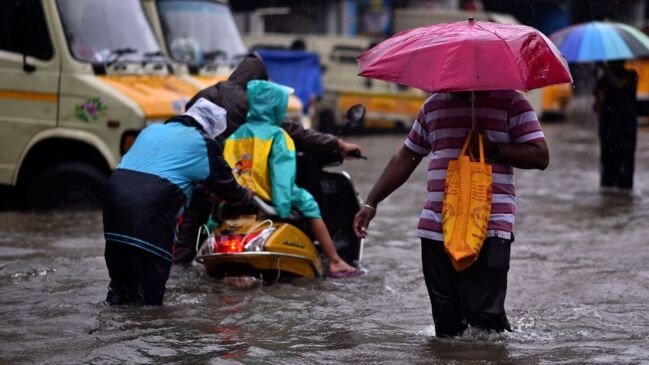
It’s officially summer in Australia, and millions of people are expected to cop the full gambit of summertime weather extremes in just the first week of the season, with heatwaves and a potential cyclone on the cards.
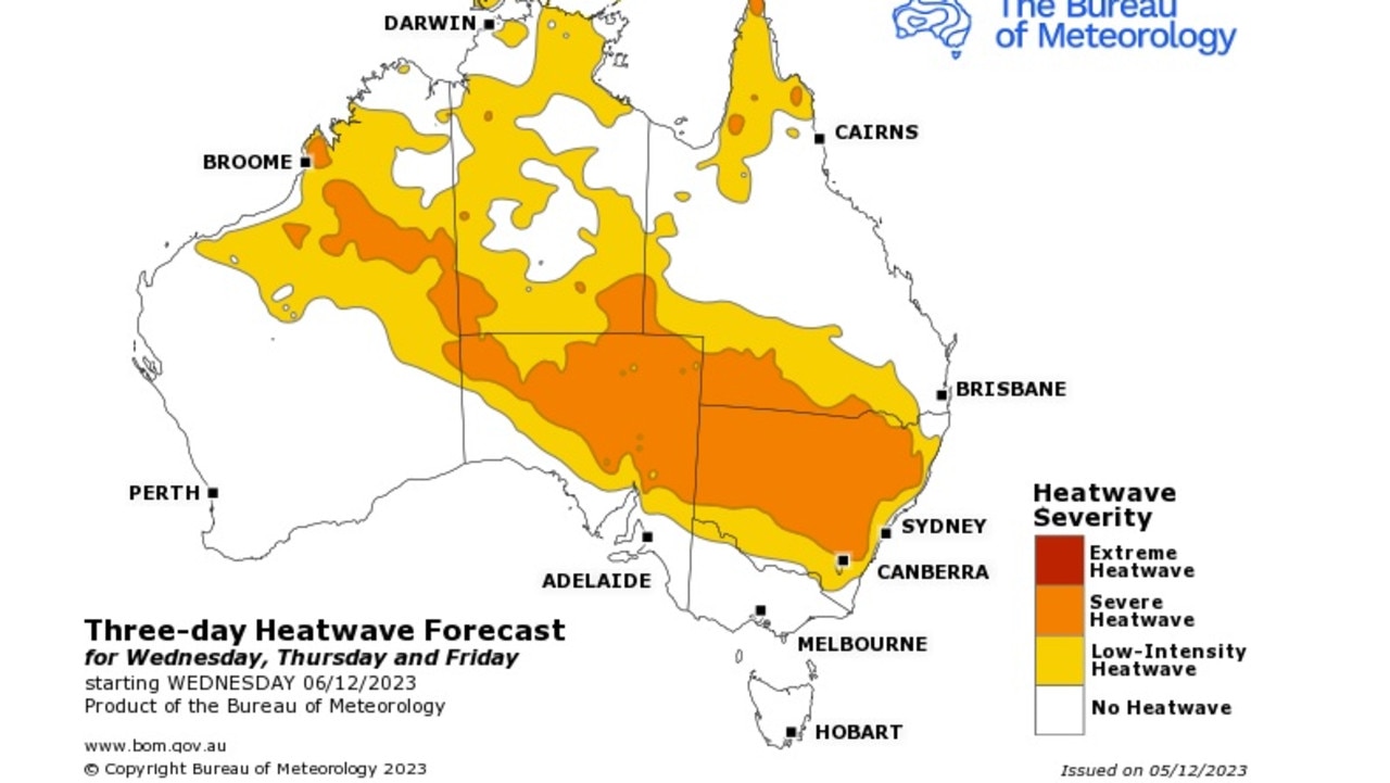
A band of high intensity pressure over central and northern Australia this week will see extreme temperatures in many outback regions, stretching as far down as Queensland’s southeast.
Parts of Western Australia and South Australia at their shared border will get up to about 45C on Wednesday, with pockets of regional SA also experiencing the extreme heat into Thursday.
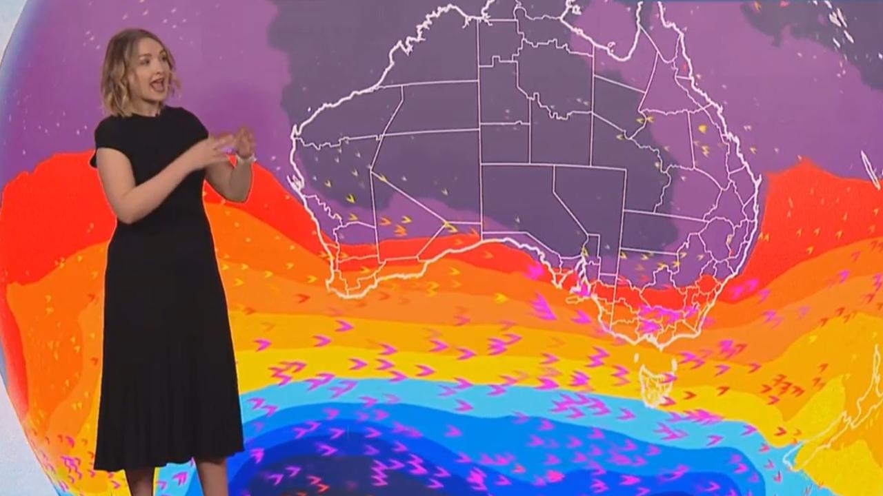
Bureau of Meteorology senior forecaster Dean Narramore said heat will also start moving into inland NSW.
“We’re looking at temperatures 8 to 14 degrees higher than the December average maximums,” Mr Narramore said.
“Tarcoola reached 45.5C [on Tuesday] … Woomera also reached 45 degrees. It’ll peak around Thursday and Friday … and then we’re going to see some relief on Saturday, and Sunday into New South Wales.”
He predicts the heat could even reach as far as Penrith, in Western Sydney, with a forecast top of 42C on Saturday.
Sky Weather meteorologist Bradlyn Oakes said while the cooler shift on the weekend will be welcome, it comes with a risk of increased wind.
“We’re going to watch as heatwave conditions move from the northwest into the southeast, and with the heat and the dry conditions our fire danger increases going forward,” Ms Oakes said.
“We’re watching for some areas of South Australia to be at extreme fire danger, also some high fire danger back into New South Wales.”
Meanwhile, Queensland authorities are keeping an eye on the Coral Sea with a tropical low moving from the Solomon Islands down towards Australia.
It’s forecast the low will become a category one Tropical Cyclone some time late on Tuesday, becoming the first tropical cyclone of the 2023-24 season.
BOM said it’s moving in a south-south-westerly direction, and while it’s too early for a detailed forecast, there is “a chance” the system could impact the Queensland coast in the coming week.
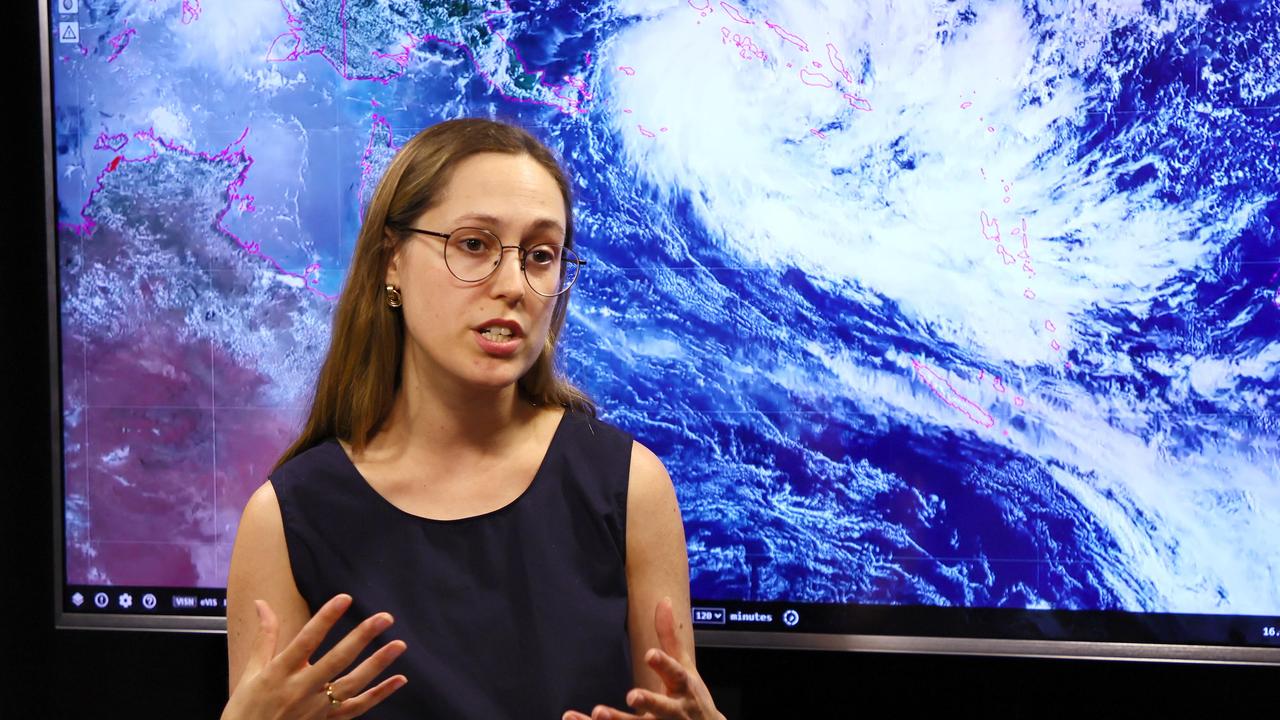
BOM Senior meteorologist Laura Boekel said if it does intensify, it will be named Tropical Cyclone Jasper.
More Coverage
“This system is developing and it is intensifying,” Ms Boekel said in a media conference on Tuesday.
“The current official forecast track does have it developing into a tropical cyclone and it also has it intensifying as well into a severe cyclone.
“It’s very rare to see a cyclone developing earlier in the season when we have El Nino. This will be the first time that we’ve seen a tropical cyclone in Queensland waters in December in an El Nino year.”


