
Map revels massive expansion of Sydney Metro network with 39 new stations
A massive expansion of Sydney’s rail network is underway with a new map showing multibillion-dollar plans and scores of new stops.

A new map has been unveiled showing up to 39 new railway stations that could be built in Sydney as part of a multibillion-dollar high-frequency Metro network.
It comes just a week after the Victorian Government released plans for a new Melbourne suburban loop line involving six new stations.
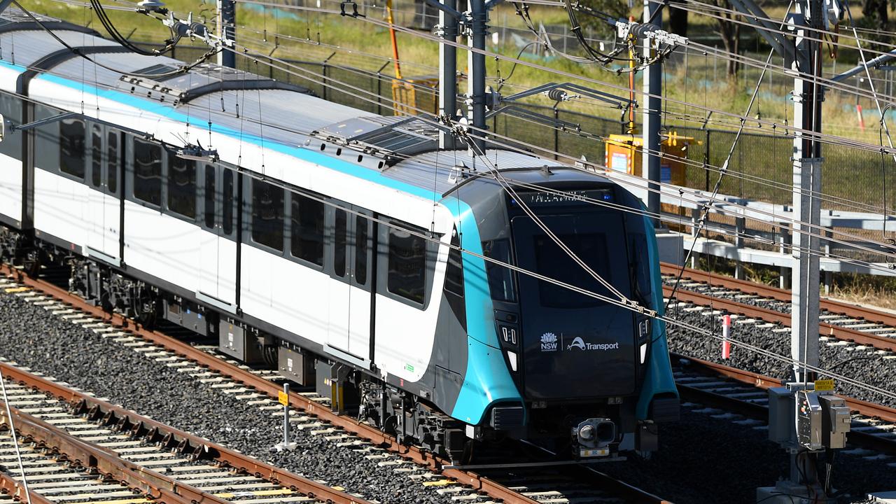
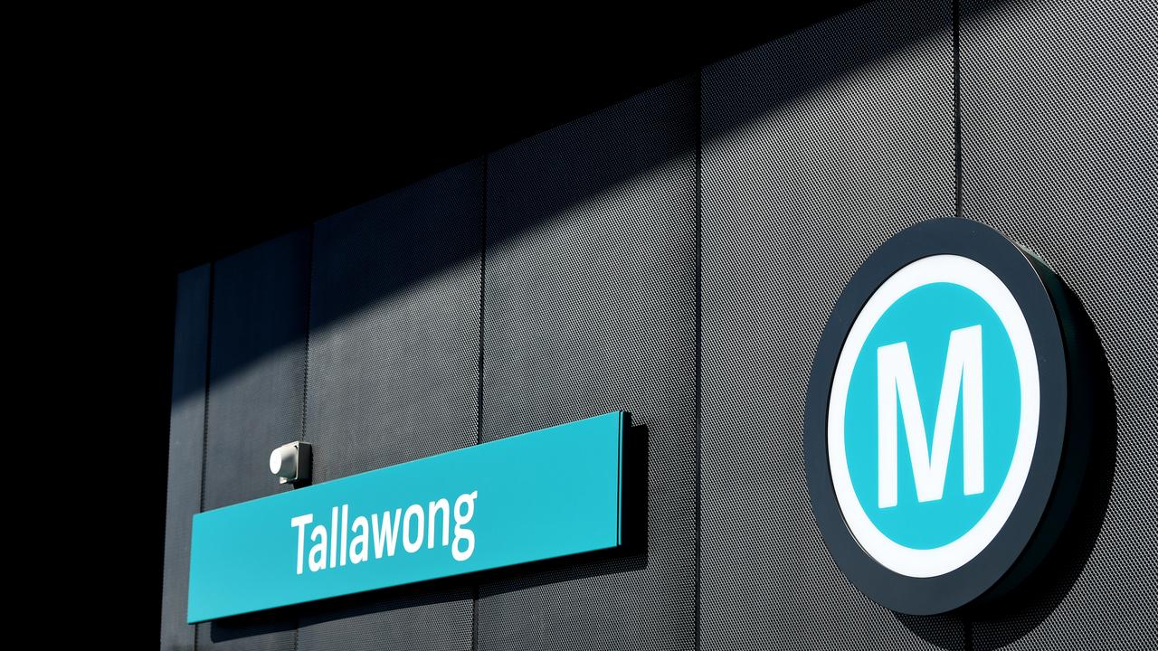
Currently, Sydney has a single Metro line that links Chatswood and Tallawong in the city’s north. By 2024, it will be extended to Bankstown, in the southwest, via the CBD.
But a proposed four-line Metro network would incorporate 39 new stations. Of these, 17 would be entirely new stops in Sydney’s west, north shore and eastern suburbs, with the remainder interchanges with existing transport hubs.
The new network would also provide cross-city rail connections that simply don’t exist right now.
But don’t get too excited yet — it could take almost four decades to get all the stations up and running. Even those championing the new network have conceded some lines are not the top priority, and there’s no money yet to pay for all of them.
The cost of the recently opened Metro, its extension to southwest Sydney and the Metro West is likely to top $30 billion. These plans are far more extensive than even that.
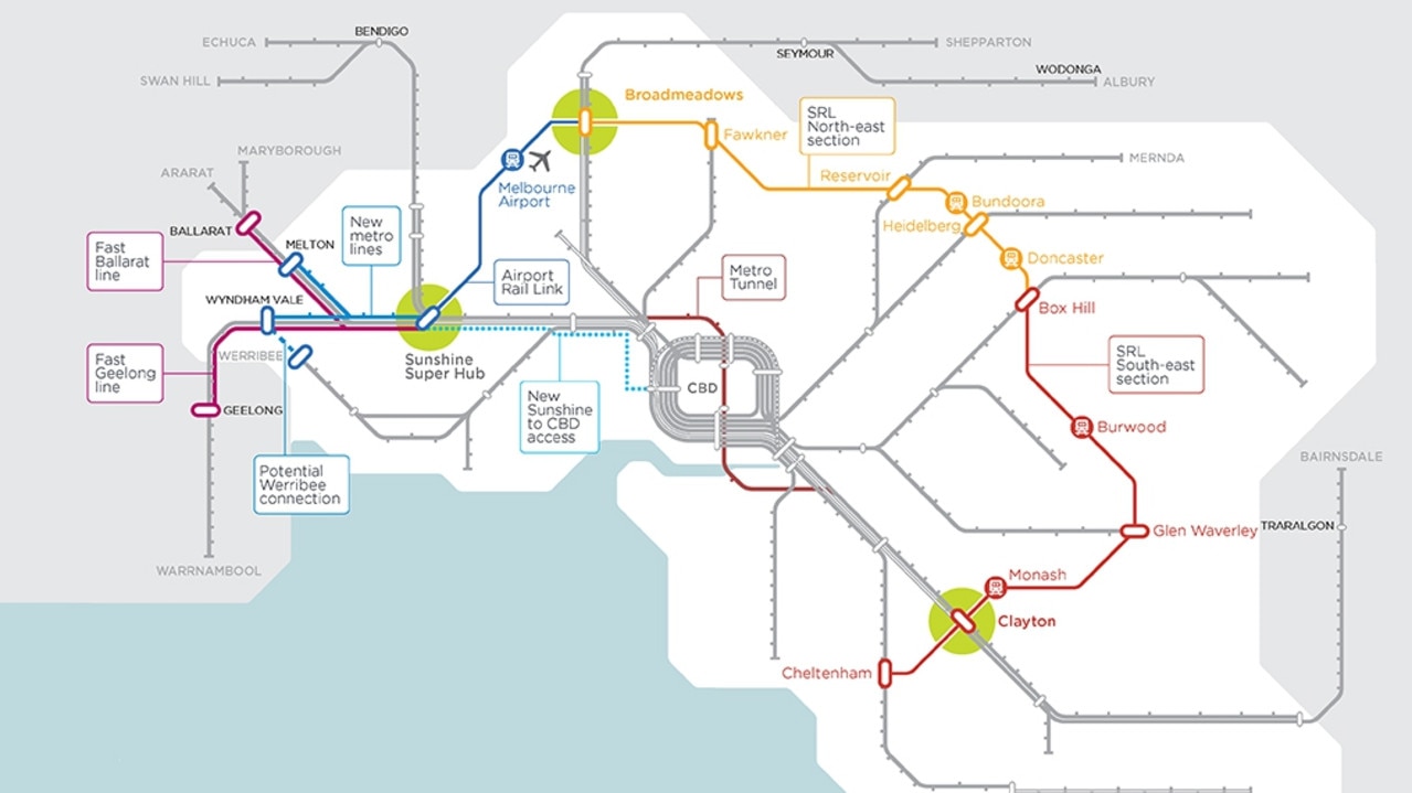
Cartography company Voommaps has created the picture of the network that vividly and colourfully brings to life what an expanded Metro system could look like.
It looks similar to the current rail map, familiar to Sydneysiders, but it’s unofficial and the makers stress the plans could change.
It predicts four Metro lines that will run in addition to the current Sydney Trains and expanded light rail service.
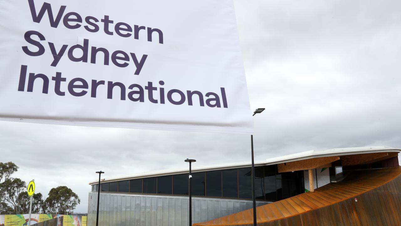
Line M1 is the current Metro line. However, the map has extended it at both ends westward — to Liverpool and to Macarthur via the under-construction Western Sydney Airport.
New stations on the M1 include CBD stations at Barangaroo and Pitt St that are being built as well as new stops at Marsden Park, St Marys and Narellan in the west.
An M2 line would head from Leppington, on the city’s southwestern fringe, north via the new airport and to the CBD via Parramatta and Olympic Park. It would then branch off to Malabar in the eastern suburbs and Miranda in the south. Planning is already well underway on the Parramatta to the CBD section.
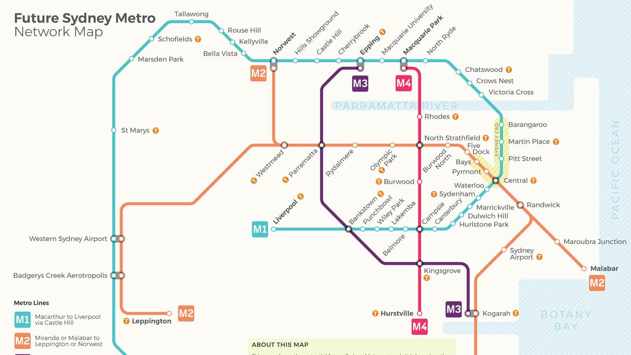
The M3 and the M4 lines avoid the CBD and provide much-needed north-south suburban connections. Now if you want to go from, say, Liverpool to Macquarie Park, you have to do a huge dogleg in and then out of the city.
The proposed lines would cut those journey times with the M3 running from Kogarah to Epping via Parramatta and the latter from Hurstville to Macquarie Park via Burwood.
Parramatta, Bankstown and Campsie would become some of Sydney’s most vital transport nodes.
The map is based on, but not identical, to the NSW Government’s Future Transport Strategy. Its aim is that by 2056 a series of new transport links will fulfil the ambition of Sydney being focused on three centres — the current CBD, Parramatta and the new Western Sydney Airport.
While Sydney’s rail network isn’t as concentrated on journeys to and from the CBD as Melbourne or Brisbane, links between suburbs and across the harbour are nonetheless few and far between.
The M2 line, which the Government refers to as the Sydney Metro West, is likely to be the next cab — or rather train — off the rank with $6.4 billion already earmarked for it. Construction could start in the early 2020s.
But it wants Canberra to cough up the rest of the cost. Speaking in June, NSW Treasurer Dominic Perrottet said: “If we are taking on more population, we should get a higher proportion of infrastructure spending and we have pressed that point with the Government when it comes to the $3 billion for the Metro West.”
The M3 and M4 are a further down the track. Christopher Brown, chairman of the Western Sydney Leadership Dialogue, a group bringing together public and private sector bodies in the city’s west, told news.com.au north-south rail links were essential.
“A lot of the jobs are in the more advantaged parts of city which are on the other side of the Parramatta River,” he said.
“That’s one of the reasons why we need a north-south rail connection so it’s easier for people living in Bankstown to get to a job in Parramatta, Norwest or Ryde.”
However, the Sydney Metro West was a higher priority, he said.
There’s also a question of where the money is going to come from to pay for all the new rail lines as well as motorway and light rail projects.
The NSW Government used the billions it gained from leasing the state-owned electricity “poles and wires” to pay for the WestConnex roads and the first Metro line. It’s not a bottomless pit of funds, and there have been warnings NSW infrastructure spending is at a peak.
“You need federal funding, value capture, you need privatisation, you need some borrowing, and it’s that big that you need all four levers and then the fare box,” said Mr Brown.
Last week, the Victorian Government revealed plans for a $50 billion Suburban Rail Loop in Melbourne.
The 90km line would run from Cheltenham to Werribee and connect every metropolitan train line in-between.
New underground stations would be built in Burwood and Monash University in Clayton, along with four new interchanges at Cheltenham, Glen Waverly, Clayton and Box Hill.
Construction is set to begin by 2022.
Everything about to change for homeowners
Yesterday, economists were tipping a super-sized rate cut when the RBA meets in a few weeks, but a lot can change in 24 hours – thanks to Donald Trump.
Trump tariff backdown boosts ASX
US President Donald Trump’s wild backdown on tariffs has lifted Wall Street and has also boost the Australian sharemarket.
What tariff backflip means for Australia
Donald Trump has suspended higher tariffs for 90 days and he has lowered his reciprocal tariffs to 10 per cent, but what does this mean for Australia?