
Trees down, alpine blizzards as wild winds cause havoc
Wild weather has wreaked havoc across the state, toppling trees and causing a white-out in the alps as emergency crews worked to clean up.
Victoria
Don't miss out on the headlines from Victoria. Followed categories will be added to My News.
An icy blast has swept across Victoria, bringing blizzard conditions and damaging winds overnight.
Melburnians can expect further gusty conditions, along with small hail and isolated thunderstorms on Sunday afternoon.
Weather bureau forecaster Joanna Hewes said more storms were on the way after more rain battered the city around lunchtime.
“We’ve seen storms develop over the eastern suburbs of Melbourne, with reports of small hail and gusty winds,” she said.
“Some lightning strikes and thunders also reported recently in the northern suburbs.
“More storms potentially on their way this afternoon with the main band of showers along the front and in its wake, hail most likely about the southern coasts.”
It’s a bit wild out there folks and this is why. A deep low well south of Tasmania and a strong high in the Tasman is causing very close pressure gradients. See how close those lines are? Amazingly no gusts over 100kmh yet! Most between 80-98kmh #melbweather#melbourneweatherpic.twitter.com/JkY1SpmYhy
— Victorian Storm Chasers (@VicStormChasers) July 16, 2022
Today in Melbourne#melbourneweather#melbweather#catflappic.twitter.com/x92oq1ZWqK
— Odins_toenail (@OdinsToenail) July 16, 2022
The weather bureau issued a severe weather warning for Victorians overnight, which remains in place for people in parts of central east Gippsland, north central, northeast, west and south Gippsland and southwest forecast districts.
The Bureau of Meteorology said a high pressure system is moving slowly eastwards across the Tasman Sea.
“Northerly winds generally easing through central parts, but continuing over the northeast ranges with isolated strong gusts still possible elsewhere,” a Bureau of Meteorology spokesperson said.
“This system combines with an approaching cold front over western Victoria to strengthen the pressure gradient and north to northwesterly winds.”
The SES received a total of 142 calls for assistance in the past 24 hours, 92 of these for trees down.
Damaging wind gusts of around 90km/h are forecast over the Otways and central Victorian ranges and their south-facing slopes, as well as in with Melbourne’s northern suburbs.
#melbourneweather#Clouds#melbourne
— JaneE (@bodysurfer1964) July 16, 2022
Passing clouds, Mornington peninsula today. @VicStormChasers@StormHourpic.twitter.com/aSVkJ845Hd
This wind is some wild shit 3 storeys up in Northcote #melbourneweatherpic.twitter.com/1xTMcwjijT
— It is Lou 4x💉ðŸ³ï¸â€ðŸŒˆ 👩â€ðŸ‘§ 🌠she/her (@louloulights) July 16, 2022
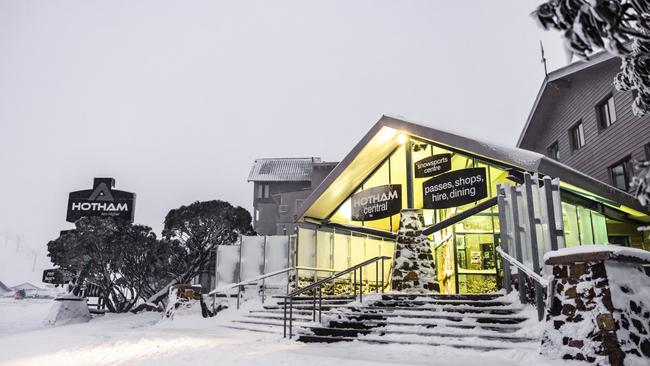
Blizzard conditions brought fresh snow to the alps, with Mt Buller recording 12cm overnight and further snowfall expected throughout the day.
“It’s exciting to see this snow piling up and the confidence of all the forecast models which agree there is plenty more coming our way today,” Mt Buller spokeswoman Rhylla Morgan said.
“The strong winds are adding to the blizzarding vibes here today, with a wind chill at around -12C.”
“We’d remind everyone to take it carefully on the road today, drive to the conditions and fit wheel chains if directed.”
Snow showers are expected across the alps as a cold front approaches the alpine region and will cross the state on Sunday, followed by a secondary front this afternoon.
Meanwhile, hundreds of people were left without power on Saturday night, after blackouts swept the Yarra Ranges, Melbourne’s eastern suburbs and Geelong.
Parts of the Bass Coast, including Woodleigh, Loch and Foster, were also left without power for several hours.


Northeast Victorian farms split between four buyers
The majority of a 650ha cattle and cropping portfolio has been carved up between multiple buyers and sold for millions, ending 120 years of ownership.

Penfolds exits the Birdcage, pulls cork on Melbourne Cup Carnival
Penfolds will no longer be the official winery of the Melbourne Cup Carnival, as it ends a lucrative four-year deal with the Victorian Racing Club.