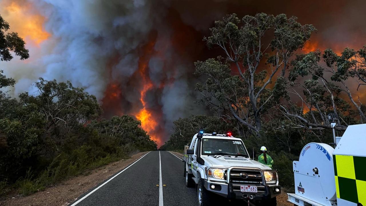
Melbourne wind warning as state hit with fire and floods
Victoria’s early summer has been dampened with wind gusts of up to 100km/h set to hit Melbourne and flood warnings issued for parts of the state.
Emergency Services
Don't miss out on the headlines from Emergency Services. Followed categories will be added to My News.
After an early taste of summer, Melbourne is back to reality with wet and windy weather and possible flooding predicted.
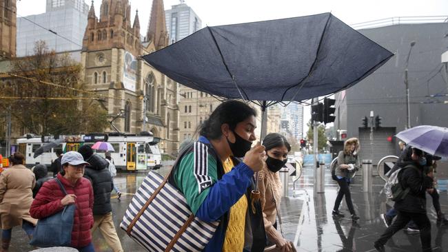
Winds of up to 100km/h are possible as parts of the state also feel the effects of bushfires and flash flooding on Tuesday.
The Bureau of Meteorology issued a severe weather warning for those in Melbourne and central Victoria.
Meanwhile rain is expected for most of the week.
“Strong winds averaging 50 to 60km/h with damaging wind gusts of 90 to 100km/h are possible from early Tuesday morning,” the warning read.
“Winds should ease over western parts of the warning area from around sunrise before easing in central parts, including Melbourne, by mid to late morning.”
“Damaging winds averaging 60 to 70 km/h with peak gusts of 90 to 110 km/h are likely from Tuesday morning, mainly over elevated areas,” the alert said.
“Higher terrain above 1200m may experience peak gusts of 120 km/h from around sunrise.
“Winds are expected to ease during Wednesday night.”
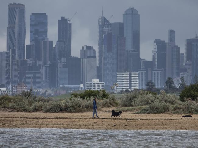
A gust of 113km/h was recorded at Mt Hotham while Laverton and Point Cook also reached the 100km/h mark early on Tuesday.
According to the bureau a cold front is forecast to cross Victoria on Tuesday with between 15 to 44mm of rain expected and isolated thunderstorms over the ranges.
Moderate to heavy rainfall of up to 15mm is forecast over eastern Victoria on Wednesday, with rain and showers easing on Thursday.
Victorian Premier Jacinta Allan on Tuesday warned minor flooding could creep into metropolitan Melbourne but was more likely in central areas of the state and in the mountain ranges.
“It’s unpredictable — there’s anticipation that there’ll be something between 100 and 300 millimetres of rainfall over the next couple of days, so it’s significant volumes of rain,” she said.
“The advice is at the moment that it will mostly be around the mountain ranges and two, with that volume of rain, it will also be in the central part of the state.”
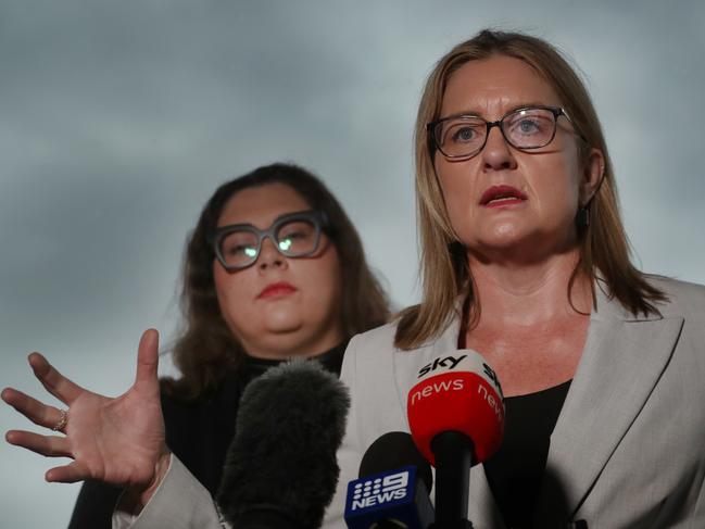
Ms Allan pleaded with Victorians in flood zones to be careful and keep off the roads, if possible.
“Heavier rain is expected to come overnight and into tomorrow,” she said.
“There will be over the next 48 hours further updates that will come through.
“Please be aware of your surroundings. If you’re out on the road, please drive safe, drive carefully and if you don’t have to be out and about in periods of extreme weather, please don’t.”
The BOM on Tuesday said minor to moderate flooding is possible from Wednesday in the North East, eastern Central and Gippsland catchments.
Isolated major flooding is possible in some North East and Gippsland catchments, it said.
Catchments likely to be affected include: Bemm, Cann and Genoa Rivers, the Snowy River, the Tambo River, the Mitchell River, the Avon River, the Macalister River, the Thomson River, the Latrobe River the South Gippsland Rivers, Bunyip River and Dandenong Creek, Yarra River to Coldstream, the Upper Murray and Mitta Mitta Rivers, the Kiewa River and the Ovens and King Rivers.


