
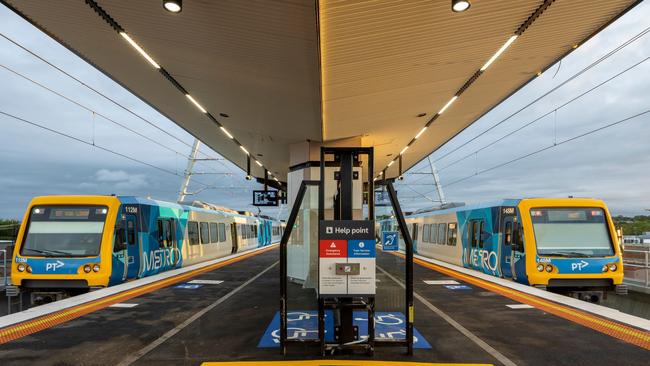
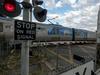
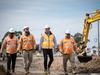
Lilydale train line on track for full level crossing removal in two years
See our exclusive interactive map that shows how much the Lilydale train line has changed in the past decade.
Outer East
Don't miss out on the headlines from Outer East. Followed categories will be added to My News.
Leader’s exclusive weekly look at the impact the level crossing removals have had on our suburbs rolls on to the Lilydale line.
See our interactive map of the Lilydale line removals below.
The aerial imagery in this special demonstrating at how both lines have changed is from Australian location intelligence company Nearmap.
The company provides government organisations, architectural, construction and engineering firms, and other companies, with easy, instant access to high resolution aerial imagery, city-scale 3D content, artificial intelligence data sets, and geospatial tools to assist with urban planning, monitoring and development projects in Australia, New Zealand, and North America.
On the popular Lilydale line, four level crossings have been completely removed, with five more remain ongoing, estimated to be compete in 2025.
gemma.scerri@news.com.au
Join the conversation

Druggie apprentice tradie in ketamine side hustle
A 19-year-old carpentry apprentice has been busted filming himself weighing and packing 14 grams of ketamine to sell to his mates.
Read more

Fight flares up again at southeast aquatic centre
Violence has erupted at a southeastern pool again, just weeks after a teen lifeguard was brutally attacked.
Read more