
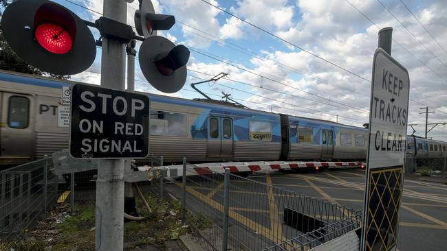
Glenroy community cheers on Level Crossing Removal Project as Craigieburn line removals are completed
See our exclusive feature on how the Craigieburn and Upfield lines have changed in the past decade.
North West
Don't miss out on the headlines from North West. Followed categories will be added to My News.
Leader’s exclusive look at how level crossing removals have changed Melbourne continues — this time we take a look at the Upfield and Craigieburn.
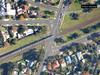
See our interactive map of the Craigieburn and Upfield line removals below.
The aerial imagery in this special demonstrating at how both lines have changed is from Australian location intelligence company Nearmap.
The company provides government organisations, architectural, construction and engineering firms, and other companies, with easy, instant access to high resolution aerial imagery, city-scale 3D content, artificial intelligence data sets, and geospatial tools to assist with urban planning, monitoring and development projects in Australia, New Zealand, and North America.
On the Upfield line, five of the promised 18 level crossings removals have been completed, with work on Brunswick Rd crossing continuing, while all planned removals on the Craigieburn line have been completed.
gemma.scerri@news.com.au
Join the conversation

Pictures: Victorian preppies start their first day of school
About 70,000 Victorian grade prep students have started their first year of school this week. Check back to see all the photos from primary schools across the state.
Read more

Why Keilor East home smashed suburb record
A luxury home in Melbourne’s northwest has set a new suburb record. But just how much did the new owners pay?
Read more