
Sunbury mapped: train line level crossing removals to be completed in 2025.
See our exclusive interactive map that shows how much the Sunbury train line has changed in the past decade.
North West
Don't miss out on the headlines from North West. Followed categories will be added to My News.
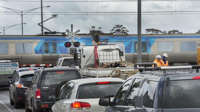
Leader’s exclusive weekly look at the impact the level crossing removals have had on our suburbs rolls on to the Sunbury line.
See our interactive map of the Sunbury line removals below.
The aerial imagery in this special demonstrating at how both lines have changed is from Australian location intelligence company Nearmap.
The company provides government organisations, architectural, construction and engineering firms, and other companies, with easy, instant access to high resolution aerial imagery, city-scale 3D content, artificial intelligence data sets, and geospatial tools to assist with urban planning, monitoring and development projects in Australia, New Zealand, and North America.
On the busy Sunbury line, three level crossings have been completely removed, with three more remain ongoing, estimated to be compete in 2025.
gemma.scerri@news.com.au
Join the conversation

Man loses hand in machete attack at Melbourne shopping centre
A 33-year-old man who was set upon by machete-wielding thugs at Central Square Shopping Centre in Altona Meadows has had one of his hands amputated.
Read more

Untold tales from behind the bluestone of Victoria’s toughest prison
These days you may do your weekly shopping there or dine at the restaurants but for 146 years Pentridge Prison housed Australia’s worst criminals. These are the untold stories of those who worked alongside them.
Read more