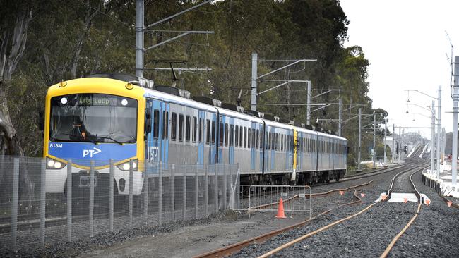
Popular Cranbourne train line level crossing removals to be completed in 2025.
See our exclusive interactive map that shows how much the Cranbourne train line has changed in the past decade.
South East
Don't miss out on the headlines from South East . Followed categories will be added to My News.
Leader’s exclusive weekly look at the impact the level crossing removals have had on our suburbs rolls on to the Cranbourne line.
See our interactive map of the Cranbourne line removals below.
The aerial imagery in this special demonstrating at how both lines have changed is from Australian location intelligence company Nearmap.
The company provides government organisations, architectural, construction and engineering firms, and other companies, with easy, instant access to high resolution aerial imagery, city-scale 3D content, artificial intelligence data sets, and geospatial tools to assist with urban planning, monitoring and development projects in Australia, New Zealand, and North America.
On the busy Cranbourne line, 13 level crossing removal projects have been completed and two remain under construction, set to be complete by 2025.
gemma.scerri@news.com.au