
Moonee Valley Council to fix five flood zones following climate change report
Five flood zones affecting 4000 homes in Moonee Valley will be future proofed under a council plan to combat the effects of climate change. And works have already been budgeted for two.
North West
Don't miss out on the headlines from North West. Followed categories will be added to My News.
Moonee Valley will future proof several identified flooding zones in preparation for the devastating effects of climate change.
A new report from council has identified five zones prone to, or expected to be prone, to flooding around the municipality.
The council has already put aside $900,000 for works for two of the five areas which have been funded through the capital works program.
El Reno Crescent in Airport West and Laluma St in Essendon are the two areas already identified for works.
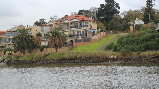
Houston Ave in Strathmore, Taylor St/Mount Alexander Rd in Moonee Ponds and Warrick Crt in Avondale Heights have also been identified as areas at risk of flooding.
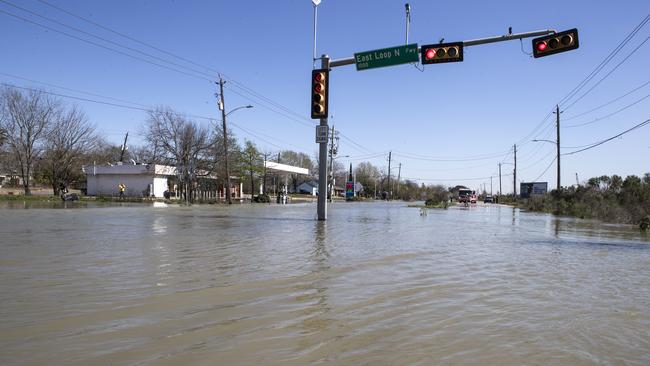
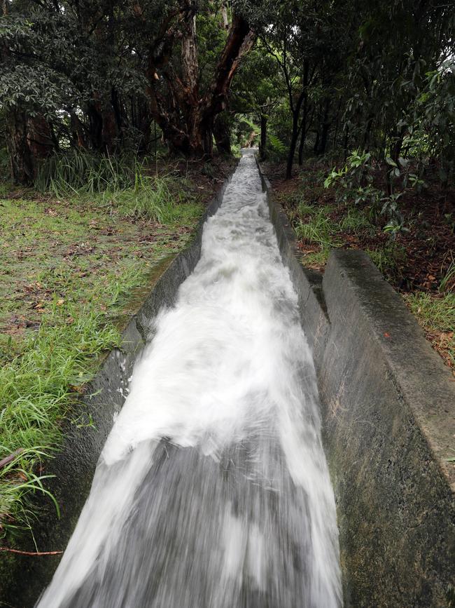
The flooding areas have been determined by which streets would be at risk when heavy rainfalls result in stormwater that exceeds the capacity of local drains.
Approximately 4000 properties within the areas are anticipated to be affected.
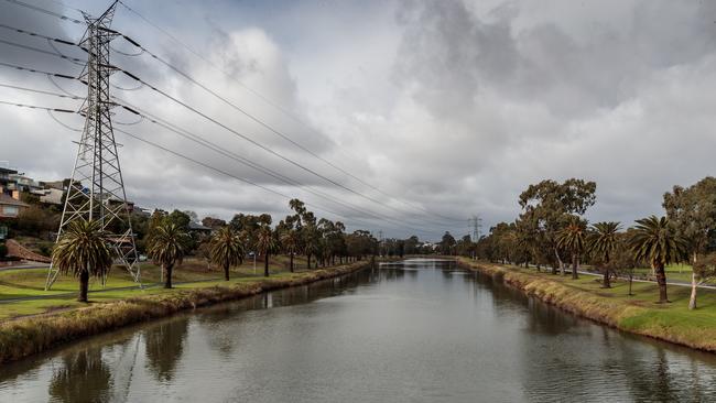
Cr Jim Cusack said Moonee Valley has always been a municipality prone to some flooding.
“We can’t get around that – the fact we’re surrounded by a river and some fairly large creeks, and that natural run off occurs,” he said.
He said development and increasing population was putting pressure on the existing drainage systems.
“Moonee Valley is going to be subject to more issues involving climate change and this is part of our preparation,” Cr Cusack said.
MORE: ESSENDON HIGH-RISE GETS GREEN LIGHT
KENSINGTON ACTOR LANDS SPOT IN TOP CLASS 2020
WHERE TO GET A TASTE OF THE PHILIPPINES IN FOOTSCRAY
Moonee Valley Sustainability Group founder Logan Shield said while he thought it was a great initiative, more needed to be done to combat climate change.
“This is all linked to climate change and we need to reduce our emissions as rapidly as possible to avoid these kind of worsening impacts,” he said.
“We need to understand the risks and take the appropriate action to avoid the costs that will inevitably come with those risks when flooding does happen.”
Informal community consultation will be held to seek feedback on study’s recommendations.

From ‘decimated’ to dangerous: Airport West breathe life into 2025
With “crunch time” looming and threatening to end its season, Airport West have thrived under pressure. Now they’re a side who looms as a danger in the run home. Here’s why.

$755m lost: Victoria’s worst pokie hotspots revealed
Victorians are losing more than $755 million as the state’s worst pokies hot spots can be revealed. Search our interactive table and see how your suburb compares.