
Coomera Connector ‘may take up to ten years to build’
A new map has been released showing the route to be taken by the Coomera Connector, but residents have been warned there are major challenges facing the project.
Council
Don't miss out on the headlines from Council. Followed categories will be added to My News.
RESIDENTS are being warned that the Coomera Connector could take up to 10 years to build, as consultation kicks off on the route for the highway’s first stage.
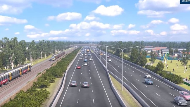
New mapping released by the Transport Department highlight the major engineering and environmental challenges posed by the six-lane highway, which is expected to cost $2.4 billion.
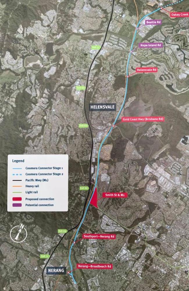
The route shows the highway following the eastern side of the heavy rail corridor but it must pass through the Coombabah wetlands until stopping in the north after Beattie Road, where it joins with Oakey Creek Road.
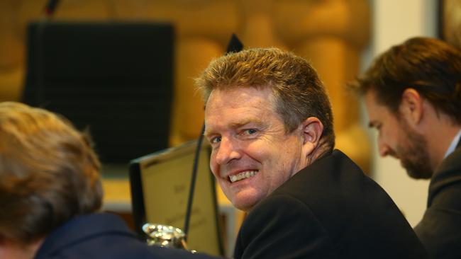
Area councillor William Owen-Jones – who has most of the first stage of the second M1 in his northern Gold Coast division and strongly supports the road – has reached out to residents encouraging them to provide input.
The busiest section of the M1 was between exits 60 and 62 between Helensvale North and South where up to 210,000 vehicles used the Motorway each day, he said.
About 75 per cent of the vehicles which enter the M1 at Exit 49 at Pimpama and Exit 54 at Coomera leave the southbound highway before Exit 66 at Smith Street, confirming the motorway’s use by residents as a north-south connector road.
MORE NEWS
Elderly man’s body found at Helensvale train station
First look at new Broadbeach restaurant
Unprecedented numbers of deadly eastern browns on Coast
“It is my understanding that this first stage of the proposed project may take up to ten years to be designed, funded, contract let and finished,” Cr Owen-Jones said.
“In order to get the right outcome it’s critical that all residents ‘have their say’ – please make sure you complete the State’s survey.”
The first stage of the Coomera Connector will require two major bridge crossings across the Nerang and Coomera rivers and potential clearing of trees through the northern section as it cuts through the western edge of Coombabah wetlands next to the rail line.
Early feedback from residents suggest they have two concerns – the impact of the highway on their property values and damage to the environment around their homes.
Those residents most impacted are likely to be at The Surrounds at Helensvale east of the heavy and light rail station, on acreage blocks at River Downs and at nearby Monterey Keys and the River Links estate.
GET FULL DIGITAL ACCESS: $5 PER MONTH FOR THE FIRST 3 MONTHS
But many residents want the highway built immediately and have welcomed an announcement by the State Government in October about building a business case and starting the design phase.
Government officers suggested the most likely scenario is the design and funding will be confirmed in 2022 “then you put it out for contract in 2022 and start work in 2023”.
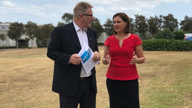
Opposition leader Deb Frecklington has promised that the LNP, if it wins government in the poll late next year, would start shovel work immediately.
Cr Owen-Jones is urging caution to both those who fear their property values will be impacted immediately and others wanting the highway built within a few years.
“They (the government) will have to go through environmental approvals. This is just a concept plan (at the moment). They have to design it, construct it. It will be a three year build. It could take up to eight to ten years,” he said.
Residents on Cr Owen-Jones’ Facebook page who want the road “built today” admit the planned route will spark wildlife petitions and compensation from some land owners.
“It’s a massive undertaking with far too many people that they’re trying to make happy before they break ground,” a resident said.

‘Children will have to leave town’ unless bigger towers approved
Developers and landowners are pleading for the green light to allow them to build larger towers on the light rail route, warning the next generation will be forced out. FIND OUT MORE

$30m ‘in limbo’: Premier pushed on light rail cash
Mayor Tom Tate is imploring Premier David Crisafulli to release funds earmarked for a light rail study as pressure mounts on the state over the project.