
When Condamine St was a dirt track through the bush
What a difference 80 years can make. The photo of the southern end of Condamine St was taken in 1933, when it was just a dirt track.

Nth Beaches
Don't miss out on the headlines from Nth Beaches. Followed categories will be added to My News.
What a difference 80 years can make.
The photo of the southern end of Condamine St at Balgowlah Heights, near Ernest St, was taken in 1933, when it wasn’t so much a street as a dirt track and crossing the small creek meant using a wooden footbridge.
On the ridge in the distance is Sydney Rd, along which ran the tram connecting Manly with The Spit.
Motor cars were relatively few and far between in the early years of the Great Depression and most of the district south of Ernest St was still two decades away from being subdivided for residential development.

Although the land west of Condamine St was subdivided as the Dobroyd Estate in the late 1880s, development of the area was slow.
The district to the south of Ernest St was not subdivided for residential development until the 1950s and some as late as the early 1960s, when the area developed rapidly.
Bushfires were common in the area in the early 1900s and the vegetation tended to be low-lying.
Fast forward to 2015 and Condamine St has been surveyed, sealed, kerbed and guttered.
Houses have been built on every block of land on both sides of the road and the footpath is regularly punctuated by driveways.
Large trees line the street and neatly mown grass on the nature strip outside each home with room for recycling bins contrasts with the scruffy ground covering in the older photo.
And of course the creek has disappeared, having been diverted into a stormwater drain that eventually joins other stormwater drains that empty near the waterfall at the head of North Harbour.
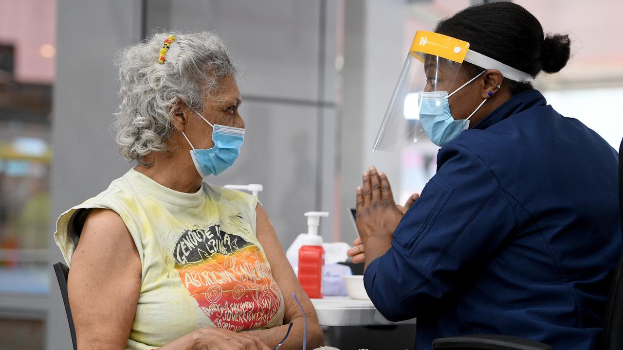
Vaccine rollout: The number of people jabbed in your suburb
617k jabs issued this week: How many people are vaccinated; where you can get jabbed and how many cases are in your community. Here’s everything you need to know about Covid.

Suburb’s 500 weekly cases: NSW’s Covid numbers by postcode
Sharp weekly spikes in Sydney suburbs reveal the harsh truth of Covid in some areas, with one postcode reporting almost 500 cases in a week. See the full breakdown.