
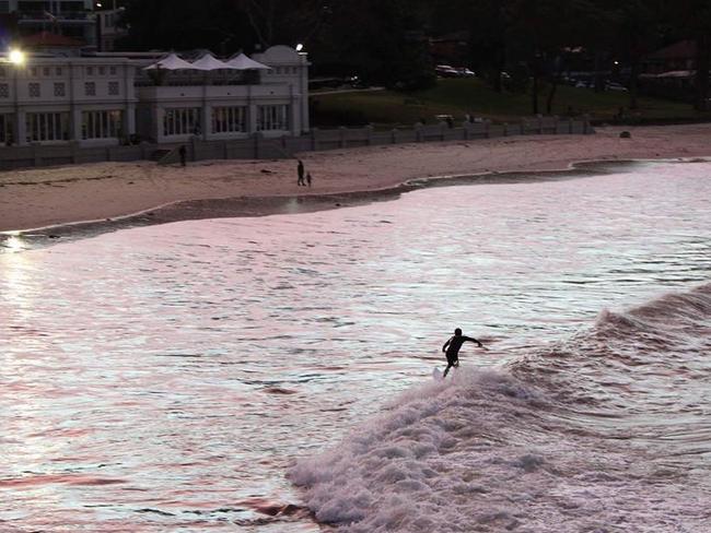
Balmoral Beach in tsunami evacuation red zone
THE luxury homes lining Balmoral Beach are in the red zone of a new tsunami evacuation map released by the SES.
North Shore
Don't miss out on the headlines from North Shore. Followed categories will be added to My News.
- Guy Sebastian caught up in council drama
- $18m home to smash suburb record
- Wild weather hits Mosman
- Australia’s oldest scout troop faces closure
BALMORAL Beach is nestled by the usually calm waters of Sydney Harbour flanked by millions of dollars worth of real estate.
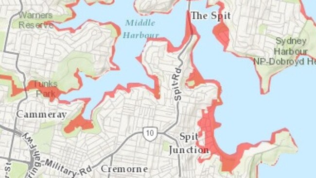
But in a tsunami evacuation map released by the SES, the entire area is in the red zone.
In the unlikely event of a giant wave speeding towards the east coast of Australia, residents would have to evacuate to higher ground at least 10 metres above sea level.

The evacuation zone covers the entire beachfront and many of the mansion-lined streets off The Esplanade including Botanic, Esther and Mandolong roads.
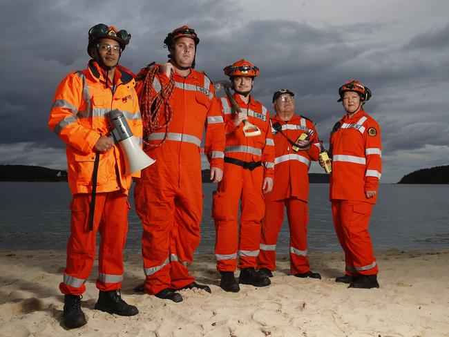
“They (residents) should be prepared and know what to do,” an SES spokesman said.
“The biggest thing is not to go to the coast to watch.”
The evacuation zone covers almost all the lower north shore’s coastline from Waverton around to The Spit and into Middle Harbour.
Several parks are in the red zone including Primrose Park, Tunks Park and Anderson Park.
Mosman councillor Roy Bendall lives at the beachfront and believes there should be a meeting point for residents in the event of a tsunami.
“Of course we would be evacuating by driving our cars straight up Awaba St,” he said.
“Maybe we should be organising a high area for residents to congregate.”

‘Wowzee, he’s quick’: Rugby’s future on show in U14s County v City
There’s a son of a gun who couldn’t be more different from his famous dad with a rugby IQ ‘off the charts’. U14 guns to watch at City v Country rugby this weekend.

Big boppers, livewire: Unusual mix of U15s City v Country players to watch
There’s a mix of tall timber, an amazing smaller player, big boppers and a livewire hooker. It’s why the City v County U15s battle at Newcastle is shaping up to be a memorable one.