
Inner west’s plan for transport overhaul including new Metro line and light rail extension
An ambitious and wide-ranging plan for a transport and infrastructure revolution in Sydney’s inner west has been revealed.
Inner West
Don't miss out on the headlines from Inner West. Followed categories will be added to My News.
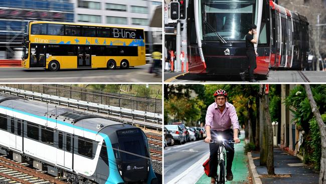
The inner west could be set for multimillion-dollar transport and infrastructure overhaul with new metro lines, an extension to the light rail, numerous rapid bus services and a vast network of walking and cycle lanes.
Inner West Council is investigating these proposals among others as part of its 2036 masterplan, currently on public exhibition.
The population of the inner west is forecast to increase by 38,646 by 2036, which the draft report states, “will generate further demand for new and improved transport infrastructure, particularly along the Parramatta Road Corridor and around the heavy rail lines at Marrickville and Dulwich Hill.”
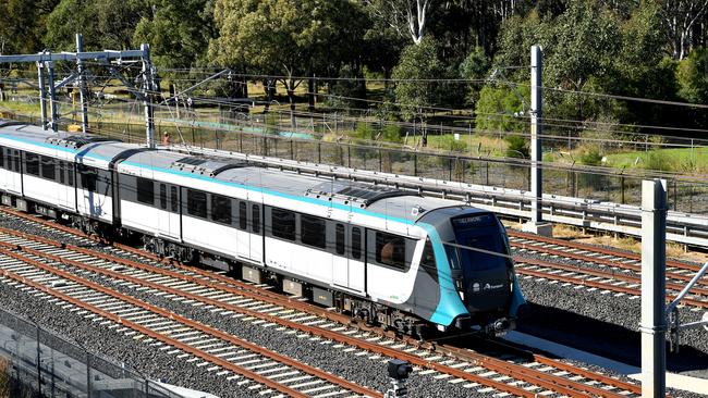
The council states it will investigate additional heavy rail lines, including a North-South Metro or Inner Circle Line.
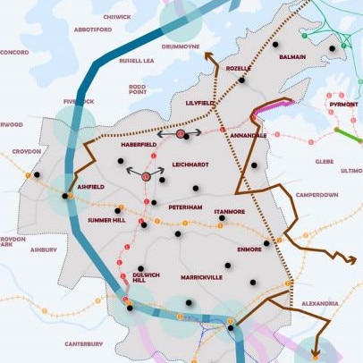
It is envisaged this would go from Sydenham up through Dulwich Hill and then on to Ashfield, Five Dock, Drummoyne and then over to the North Shore.
If the masterplan is approved, the council states it will also push for a Metro West station at Leichhardt either near to the Leichhardt North or Marion light rail stops.
“These concepts seek to create more reliable, high frequency north-south public and active transport connectivity, improving links between key existing and future economic centres and educational hubs including the Camperdown Ultimo Health and Education Precinct, Sydney Airport, Green Square and the Bays Precinct,” the draft planning statement reads.
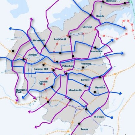
The document also highlights the light rail for improvements.
One idea involves a duplication of the line near to Dulwich Hill.
There are also plans for a light rail extension to service the Bays Precinct as well as a shortcut between Wentworth Park and Convention Centre for those wanting to head towards Central rather than Pyrmont.

The report also floats some form of rapid transit system either above or below ground linking the Bays Precinct and Green Square.
High frequency bus routes are proposed with a series of routes zigzagging across the region.
High frequency services are cheaper alternatives to rail and have had significant success elsewhere across Sydney, in particular the northern beaches.
The peninsula’s B-Line route has been a favourite among locals. There is no timetable, passengers just turn up knowing there will be a bus every few minutes. And there are limited stops, cutting huge amounts of time off regular services.
The council plan also states it will prioritise “shared transport to reduce private vehicle ownership”, including a network of electric vehicle charging stations and public transport provisions for the soon-to-be-developed WestConnex and western harbour tunnel.
The many transport proposals set for the next 20 years are said to be “supported” by an extensive network of blue-green links.
The report suggests the blue-green grid will “provide wildlife corridors and connect centres, recreational spaces, public transport hubs, schools and major residential areas with blue and green infrastructure”, including waterways and parks.
However, the council makes clear that if approved, it would need assistance in making the projects a reality.
“These ideas cannot be developed by council alone and require institutional and financial partnership with State Government,” the report states.
IN OTHER NEWS