
NSW weather: Strong winds lash Hunter, Illawarra, Mid North Coast as tree falls on boy
NSW has copped more heavy rainfall and severe damage from wild winds exceeding 90km/h, seeing one town evacuated and landing a boy in hospital.
NSW
Don't miss out on the headlines from NSW. Followed categories will be added to My News.
A young boy is in hospital after a tree branch partially crushed him in Sydney’s north as strong and damaging winds continue to cause havoc across Sydney.
The juvenile was struck in the head by a branch on Boyd Ave in West Pennant Hills about 7:30pm on Monday while trick or treating.
He was treated by paramedics and a specialist medical team at the scene before being transported to the Children’s Hospital at Westmead.
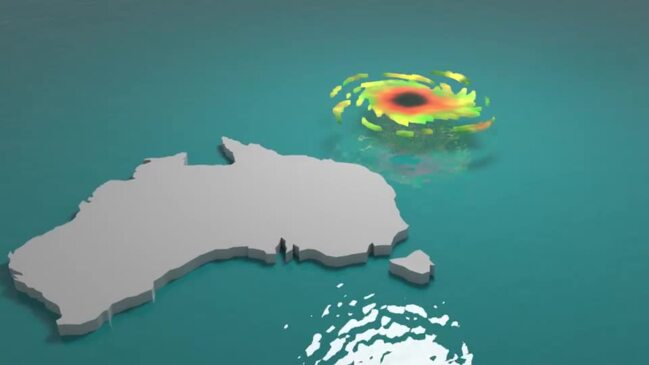
It comes as a new ferocious trough is rolling into NSW from South Australia, threatening to cause more damage with winds expected to return to the northwest from mid-Tuesday morning – alongside a vigorous cold front.
The SES received 759 requests for assistance across the state on Monday, of which 48 were flood rescue and 42 were related to storm damage impacting homes, fences, roofs and yards in Sydney.

Crews were sent out to 10 homes across the city, attending to partial roof collapses at nine of those.
At 11:30pm, one property in Manly had to be strapped down with a tarp to prevent a leaking roof. Earlier in the evening at 5:20pm, a piece of palm tree fell and smashed three to four roof tiles in Belrose and at about 9pm, a residential street in Terrey Hills was completely blocked by a fallen tree across the road.

Peak gusts in excess of 90km/h are ripping into suburbs throughout the Southern Tablelands, Illawarra, Central Tablelands, Hunter and Mid North Coast.
Meanwhile, 400 residents were evacuated at Cootamundra in rural NSW on Monday night.
Sydney’s sun-filled skies turned grey on Monday as a savage low pressure trough rolled into NSW, causing temperatures to plummet.
Saturated soils in the east has brought an increased risk of gusty winds toppling trees and powerlines with main concerns for Scone, Penrith, Bowral, Braidwood, Wollongong, Mudgee, Katoomba, Tibooburra and Quirindi.

Coastal communities in Sydney, Hunter, Coffs, Byron, Macquarie, Illawarra, Batemans, and Eden are also on high alert for strong to gale force north-westerly winds averaging 50 to 65km/h.
The Bureau of Meteorology (BOM) has warned that localised rainfalls could increase the risk of trees toppling in areas where soils have been inundated the past few weeks.
“The main thing to note (for Tuesday) in the east coast will be the north to north-westerly winds as they’re pretty strong,” meteorologist Helen Kirkup said on Monday.
“There’s some pretty cold air, especially in some of the higher areas around the Central Tablelands where there’s a slight chance for snow overnight on Tuesday. It’s mainly Tuesday night but by Wednesday, it will start to warm up again for the end of the week.”


The SES echoed the BOM’s urgency for residents living in saturated suburbs to be mindful of the increased risk of falling trees, issuing a new plea for people to prepare as much as possible.
“The rainfall will exacerbate current inland flooding. With soil already saturated, there’s a likely increase of trees falling due to winds. We’re urging members of the public to prepare now,” NSW SES spokeswoman Alethea Duley said on Monday.
“Isolated storms can create dangerous conditions such as falling trees. Repair roofs, tie down loose items, and park vehicles away from trees to reduce your risk.”
A possible return to Sydney’s pleasant, summer-like weather won’t be seen again until Wednesday, but temperatures will remain in the low twenties for most of the week until Sunday.
Meanwhile, western communities in Parramatta, Campbelltown, Liverpool, Penrith and Richmond will experience an eight degree drop from around 27 degrees to the high teens from Monday to Wednesday.


Join the conversation

‘Psychoactive’ magic mushrooms found growing at NSW parliament
‘Magic’ mushrooms have been discovered growing just steps from the NSW parliament’s main entrance, raising security and safety concerns, with Speaker Greg Piper now calling for a management plan.
Read more

Minns announced Moore Park before finances were resolved
Internal government documents reveal Chris Minns’ plan to hack Moore Park Golf Course in half for public parkland was announced before the financial implications were fully assessed.
Read more