
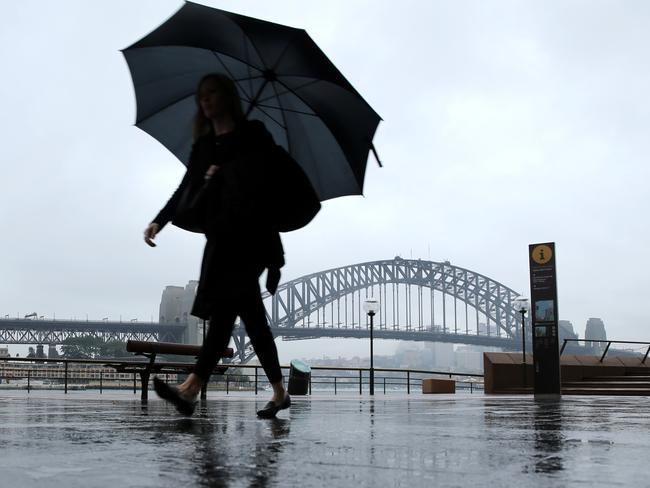
Perfect storm of climatic conditions mean hot, dry and wild weather for Sydney
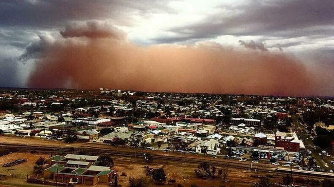
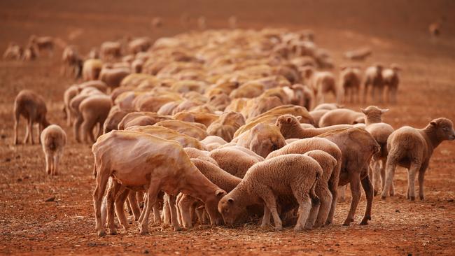
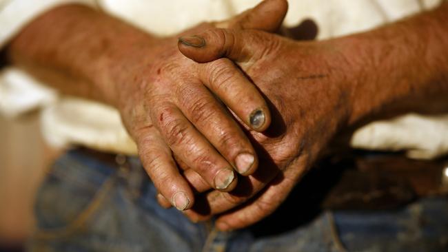
EL NINO is coming, worsening the drought crippling farmers and whipping topsoil from barren paddocks into dust storms. Check our INTERACTIVE graphic.

NSW
Don't miss out on the headlines from NSW. Followed categories will be added to My News.
EL NINO — which will worsen the drought already crippling farmers and whip loose topsoil from barren paddocks into dust storms — is coming.
Much of NSW has already experienced the driest start to a year in more than 50 years and Sydney has had its driest start to a year since 2000.
And, according to Sky News chief meteorologist Tom Saunders, an El Nino means it will get worse.
El Nino brings fewer clouds, hotter daytime temperatures and lower-than-average rainfall. As well, cold water off the West Australian coast has triggered a climatic event known as positive Indian Ocean Dipole (IOD) which, combined with El Nino, spells even greater chances of dry conditions.
MORE NEWS
THREE HELD AFTER MAN STABBED TO DEATH IN PARRAMATTA
SEVEN PUPPIES DIE IN HOUSE FIRE
There was conjecture among meteorologists on the likelihood of an El Nino, but according to Mr Saunders, who has released his annual Severe Weather season forecast, it is definitely emerging, albeit later than usual.
“El Nino normally starts in winter, but is emerging later this year,” Mr Saunders said.
“The coincidence of El Nino with a positive IOD means it’s guaranteed there will be below-average rainfall at least until the early part of summer.”
Mr Saunders says the rain soaking Sydney and some parts of the state’s west does not mean the drought has broken. “The rain we’re having now is a one-off,” he said.
“There’s a bit more rain about next week but it’s not an indication of a change in weather patterns, which has seen two or three weeks of dry weather between rain events.”
Mr Saunders predicts Sydney will swelter through the next seven months, while contending with more than the average number of wild storms and catastrophic bushfires.
He says the driver behind the hot and dry forecast is “a late developing El Nino and the continued and increasing influence of global warming”.
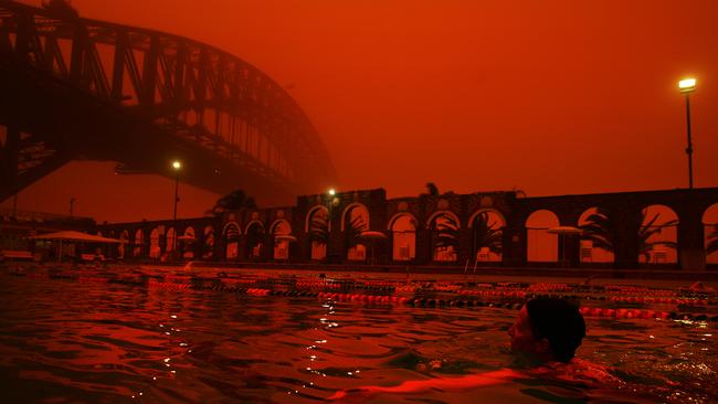
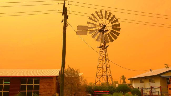
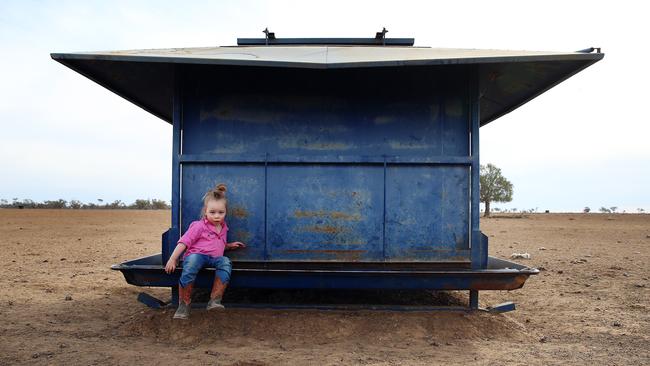
After the driest 17-month stretch on record across huge tracts of typically fertile farming land, the soil isn’t held together by plant cover and severe storms have the potential to cloak Sydney in blankets of dust, last seen in 2009 when the city appeared an eerie red.
The next seven months, between October and April, is a time meteorologists refer to as the “severe weather season”.
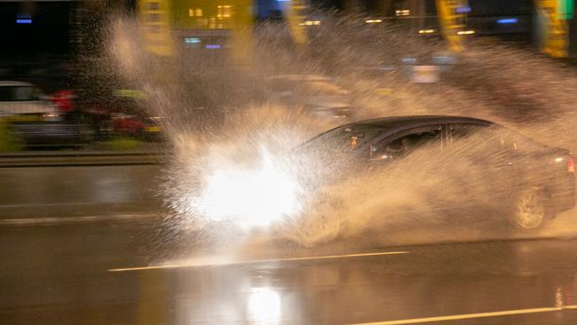
The forecast warns of more dangerous thunderstorms than usual, which will bring hail, wind gusts in excess of 90km/h, flash flooding or tornadoes.
The severe weather season typically has 17 days with thunderstorms, although this year it is forecast there will be between 17 and 21 days.
Despite a higher occurrence of severe storms, the next seven months will be hot and dry.
“The hot trend is almost certain to continue across Australia through the severe weather season with maximum temperatures from October to April above average,” Mr Saunders said.
If the forecast comes to fruition, it will be Sydney’s 19th consecutive year with above average temperatures between October and April.
Last year, Sydney had 463.8mm of rain between October and April, which was well below the long-term average of 715.5mm.
It’s predicted to be warmer than average again. The hot weather follows an exceptionally dry autumn and winter.
The good news is Sydney is not expected to suffer any heatwaves for the second year running.