
NSW Floods: BOM Weather technology questioned for not providing accurate data
Technology used to record flood levels has been damaged from recent floods, with locals needing to provide reports and updates to keep the communities safe. See how they’re predicting flood warnings before they’re announced.
Coffs Harbour
Don't miss out on the headlines from Coffs Harbour. Followed categories will be added to My News.
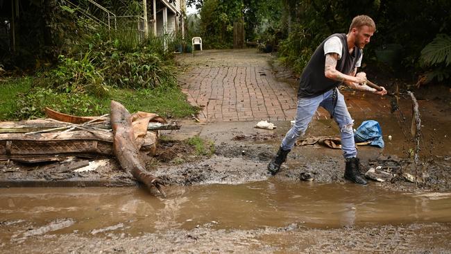
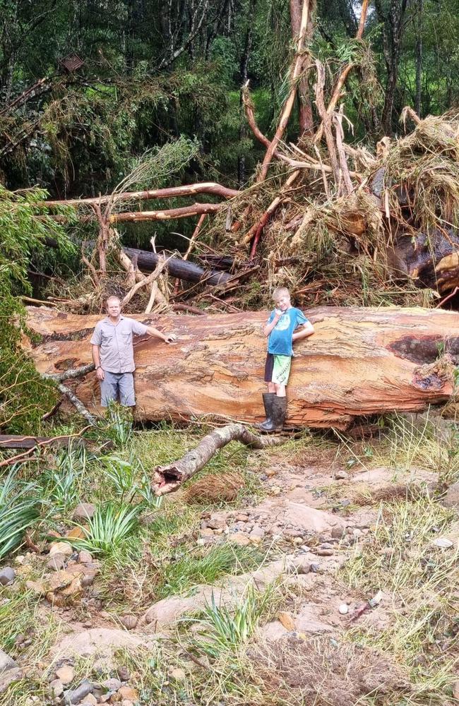
As the Northern Rivers braces for a second flood wave, some are questioning the accuracy of flood information.
Locals have been providing data due to reporting technologies having been destroyed from the previous floods.
Zane van den Berg, 42, has lived in Repentance Creek his entire life and his property is located near the floodwater station.
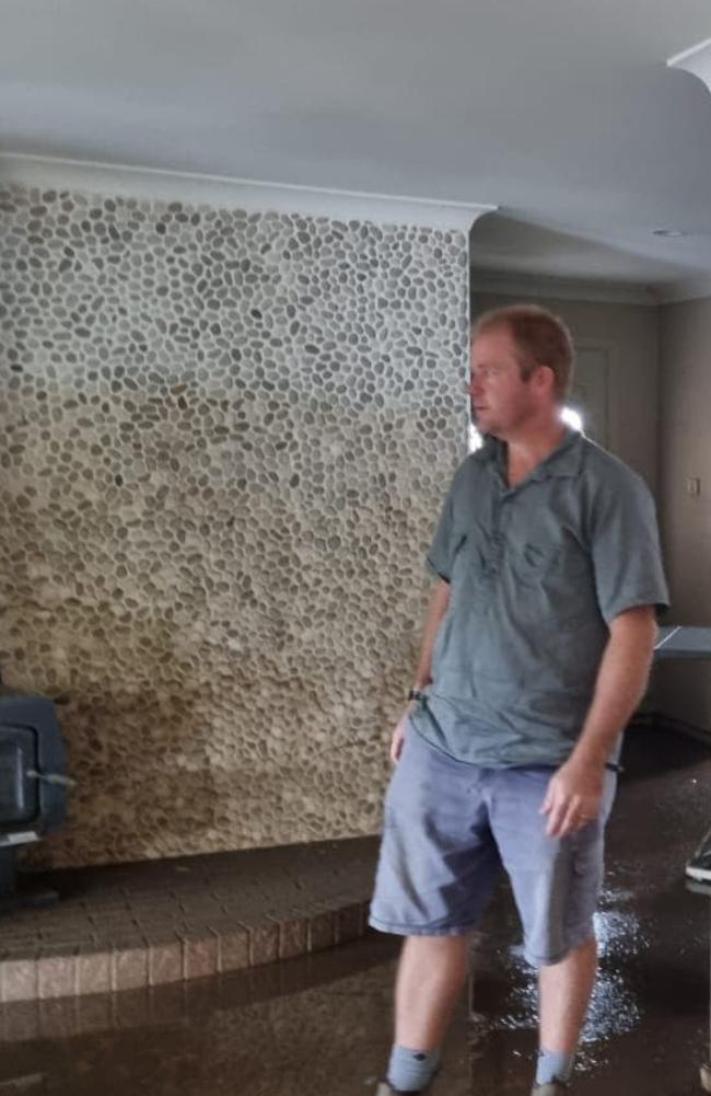
Since the early March floods, Mr van den Berg said some Bureau of Meteorology technology has been “wiped out” by floods.
“The flood recorder got ripped out of the bank,” Mr van den Berg said.
He said it has resulted in inaccurate readings of river and catchment levels.
“You still can't go past manual flood reports – that system does not fail,” he said.
Mr van den Berg said he believes it's worth upkeeping older technologies and manual flood recorders.
“ I don't believe BOM is reading accurately, the chart claims a peak of 4.5m at 6am this morning, which just isn’t true,” he said.
John Miller, 67 was in the SES Hunter Division in the 90s and said locals used to be called upon to provide accurate information.
“We had a local hydrologist on site, with all his charts and data calculators,” Mr Miller said.
He said they had over 100 locals that could be called on, by phone or high frequency radio.
“We also sent out a recon vehicle regularly to check various spots. With local intel, we could advise where and when places would be cut off and when to evacuate.
He said they operated under a call centre, with 4-6 operators.

“We had ultra high frequency radio base stations, so that truckies etc could call in problems directly. We need to get back to something like this,” he said.
Mr Miller said landmarks locals were familiar with were used to provide a localised picture of what was flooding.
“There is too much dependence on hi-tech when the chips are down,” Mr Miller said.
“It’s bogged down in red tape.”
He wishes for local networks in the area to be connected through radio, in case of areas like Mullum losing communications via phone.
Dan Jones said the combination of BOM data and local data is important in identifying flood risks early.
“BOM has some rain gauges in the catchment, but where it is located, how do we know further upstream did not have more rain than were the “official” rain gauge is?”
“The SES used to have intel from more people in each valley, getting a bigger picture of the amount of rain that had fallen in the catchment,” he said.
“Back then we had better evacuation notices. Apart from BOM, local intel gives a much bigger picture so the two can work together if you use common sense,” Mr Jones said.
The Bureau of Meteorology said the gauges had been repaired and if one gauge was giving faulty data, it would be noticeable.
More Coverage


Read related topics:NSW floods

Murder trial probes abusive relationship prior to woman’s death
A Northern Rivers man accused of the brutal bashing murder of his partner told police he wasn’t drinking when her body was found, despite them observing he “smelled like alcohol and was sweating profusely”, a first-day trial has heard.
Read more

‘Lot of improvement left’: Group 2 leaders issue warning
They might have just demolished last year’s premiers, but the Group 2 leaders say they are just getting started after a blistering start to the season.
Read more