
The Bureau says Queensland could face floods, storms and fire Wednesday
Queensland is in the grip of a brutal weather triad, with floods, storms and a scorching heatwave impacting broad areas of the state.

QLD weather news
Don't miss out on the headlines from QLD weather news. Followed categories will be added to My News.
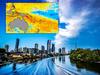
Queensland was a state gripped by weather extremes on Wednesday, with warnings active for a stifling heatwave, flooding, fires and severe thunderstorms.
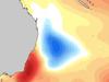
The Bureau of Meteorology warned of extreme heat in the state’s north caused by a warm, humid air mass over the Tropical Coast, Tablelands, Herbert and Lower Burdekin districts.
Temperatures could get to 41C in the Channel Country – where a high fire danger is active – while it could get to 35C in Cairns, 38C in Ingham and 39C at Camooweal.

Forecaster Helen Reid said hot conditions would be experienced across most of the state before easing into Thursday.
Across South East Queensland, the daytime maximums will reach 32C on Wednesday, 33C Thursday and 32C Friday.
“These are 6-8C above average,” Ms Reid said.
She said there was also a potential for thunderstorms in and around Mt Isa, with the risk to intensify on Thursday as a band moved from the northwest to the coast around Mackay.
“Tomorrow, broader areas of the state may see some storm warnings,” said Ms Reid.
On Friday, storms could form further south, with areas just north of Noosa potentially in the firing line.
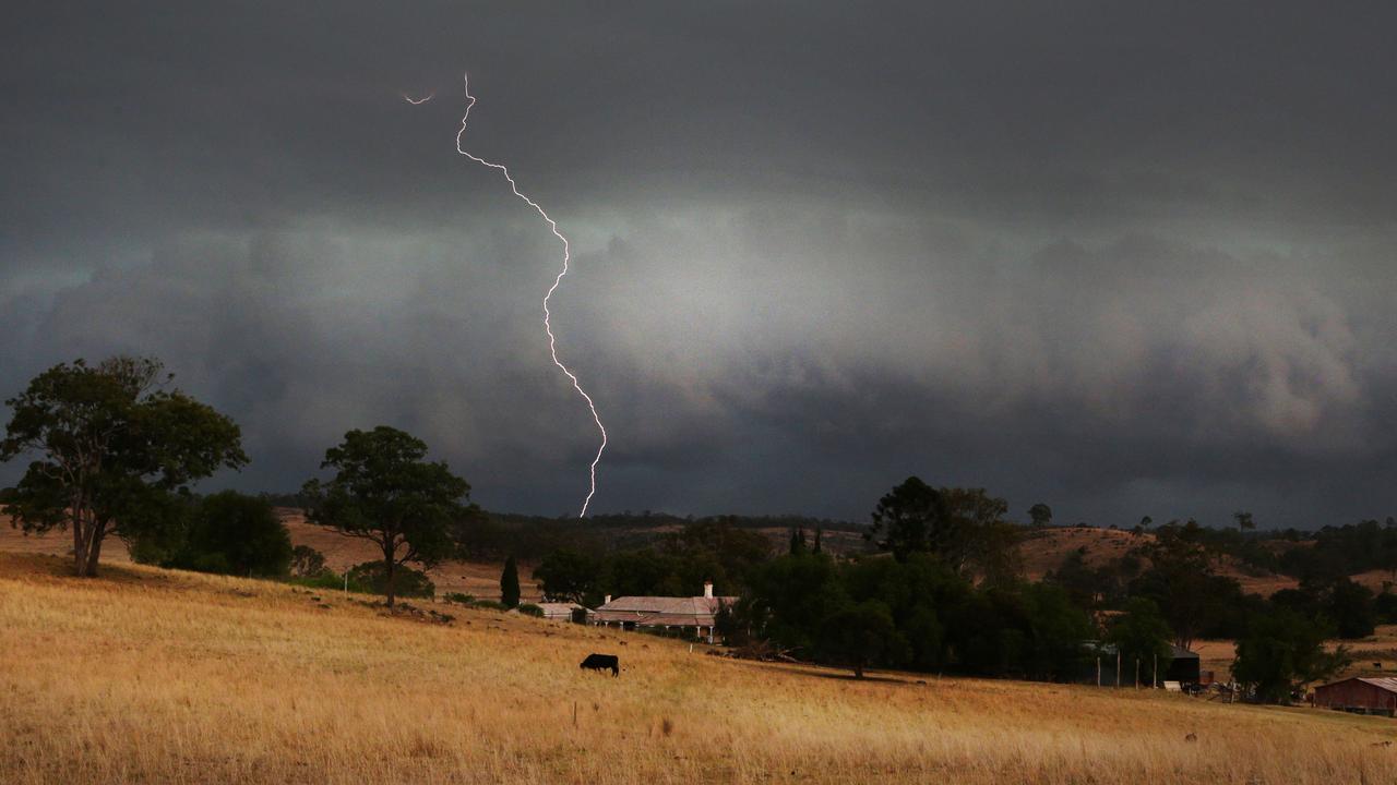
Meanwhile, severe thunderstorms were predicted for parts of North Queensland into Wednesday evening.
The bureau issued a warning about 2.30pm for parts of the Northern Goldfields and Upper Flinders, Herbert and Lower Burdekin, Central Coast and Whitsundays, Central Highlands and Coalfields and Central West districts.
Thunderstorms were likely to produce damaging winds, large hailstones and heavy rainfall, which may lead to flash flooding.
Bowen, Ayr, Proserpine, Collinsville, Giru and Clare were among the locations which may be impacted.
The next weather alert was expected to be issued by 5.30pm.
Meanwhile, a number of flood warnings remain active across Queensland on Wednesday morning.
FLOOD ALERTS
Major Flood Warning for the Balonne River, Moderate flood warning for the Bokhara River and Flood Warning for the Condamine River
Major Flood Warning for the Macintyre River and Minor Flood Warning for the Weir River
Moderate Flood Warning for the Bulloo River
Moderate Flood Warning for the Paroo River (QLD)
Minor Flood Warning for the Barcoo River
Minor Flood Warning for the Moonie River
Minor Flood Warning for the Upper Dawson River
Minor Flood Warning for the Wallam and Mungallala Creeks
Final Flood Warning for the Lower Brisbane River catchment
Final Flood Warning for the Mary River
Final Flood Warning for the Upper Brisbane River
Initial Minor Flood Warning for the Warrego River (QLD)
CURRENT TEMPS & 7-DAY FORECASTS
35mm in 30 mins: Inland Qld hammered by storms
Severe thunderstorms were producing heavy rainfall in parts of inland Queensland on Friday night, with one area in the state’s south-west recording more than 30mm in 30 minutes.

Former MP withdraws senate ticket to focus on new role
A former Newman government minister has has stepped away from his senator ambitions to instead focus on helping flood-wrecked North Queensland rebuild.