Bureau of Meteorology declares third La Nina under way for Australia
Sandbag depots will be opened as Queensland braces for more heavy rain and flooding, with BOM declaring a third La Nina is officially under way.

QLD weather news
Don't miss out on the headlines from QLD weather news. Followed categories will be added to My News.
The Bureau of Meteorology has officially declared a rare triple La Nina has returned to Australia this spring, lasting until the beginning of next year.
The major forecaster previously stated there was a 70 per cent chance La Nina would return based on the increased likelihood that a negative Indian Ocean Dipole event would continue into Spring, bringing higher than average rainfall totals to the entire east coast.
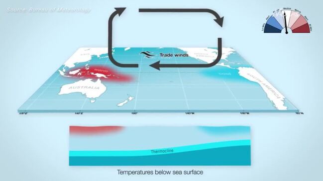
New climate data released by the BOM on Tuesday has confirmed the negative IOD would continue alongside cool tropical pacific ocean temperatures, marking the “typical patterns of a La Nina event”.
“Key atmospheric and oceanic indicators of the El Niño–Southern Oscillation (ENSO) show an established La Niña,” the Bureau said.
“Tropical Pacific sea surface temperatures have been cooling since June and are now at La Niña thresholds. Atmospheric indicators including the Southern Oscillation Index (SOI), trade wind strength, and equatorial cloudiness are also displaying patterns typical of a La Niña event.
“Models indicate this La Niña event may peak during the spring and return to neutral conditions early in 2023,” the BOM said.
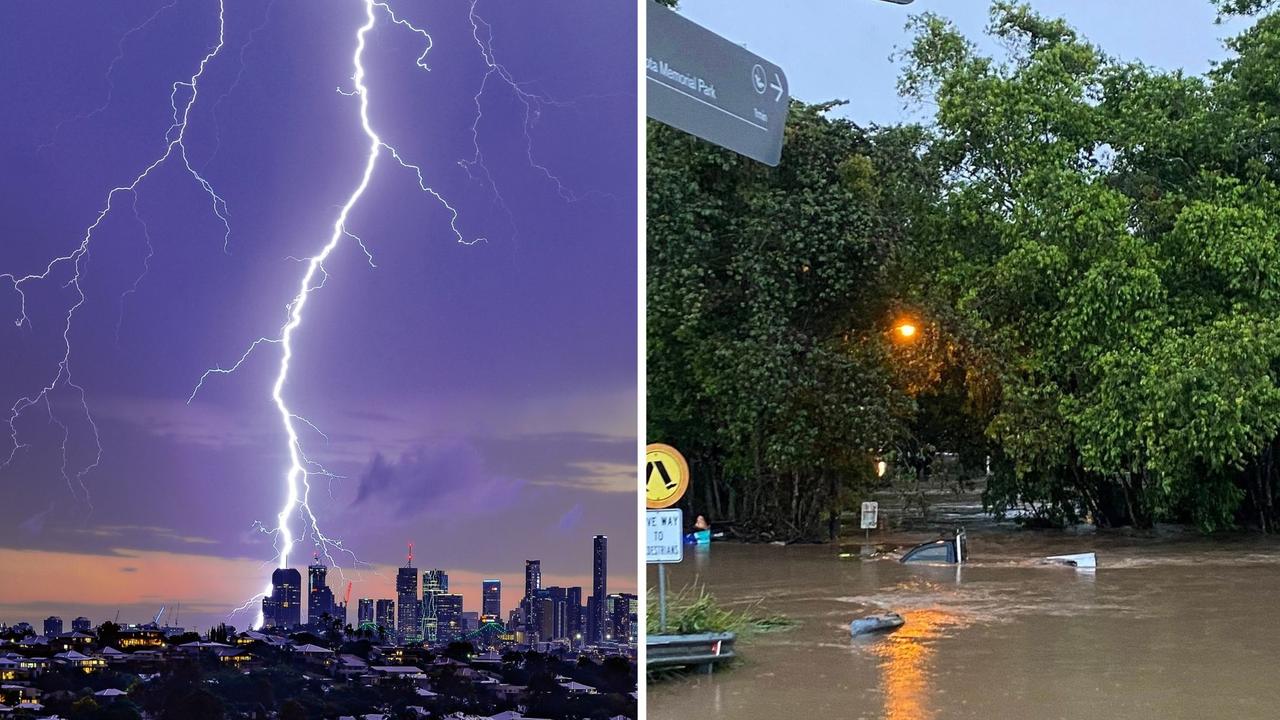
The La Nina event is expected to bring extremely wet weather and possible flash flooding to Northern NSW and southern parts of Queensland as early as September, with the official wet season to begin from October onwards.
It will be the fourth time a triple La Lina event has occurred in Australian history.
Earlier this month, Brisbane Weather’s Dave Taylor said he expected a stronger and above average wet season, as well as an early onset to cyclone season.
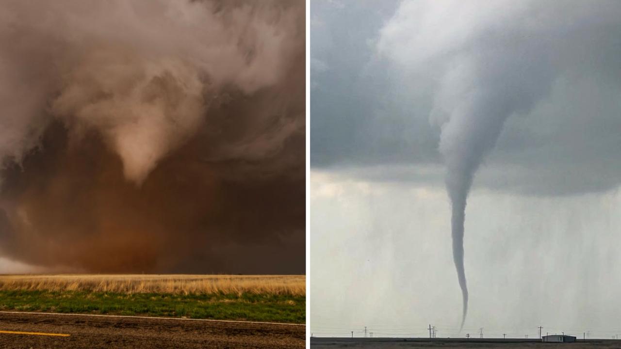
“I would be very surprised if we didn’t get a Category 4 or above storm crossing the coast somewhere north of Rockhampton,” Mr Taylor said.
He said Brisbane would likely see flooding reminiscent of those experienced in early 2022, but that they would not be as bad as the infamous flooding events of 1974 and 2011.
Responding to the La Nina announcement on Tuesday, Mr Taylor said “a flood is not good at any point but my concern is still for north Queensland”.
“Get the most active monsoon trough that caused massive flooding in Townsville a few years and chuck a severe cyclone in the mix and that’s what I believe north Queensland will be facing this year.”
Mr Taylor said he was also worried about widespread flooding along the east coast between South East Queensland and Victoria.
“All the forecasts are indicating a cold pool of air forming off the South East Queensland coast later this year and another, warmer mass further south off New South Wales; if they eventuate, I’m expecting really widespread flooding up the coast again this year,” he said.
“If the warmer waters from La Nina get between that cold air mass and Queensland, the rain will also come into Queensland as well.”
Climate Council Director of Research Dr Simon Bradshaw said the declaration of a third consecutive La Nina spelt tough times ahead for many Australians.
“The risk of extreme rainfall and flooding is also exacerbated by climate change, driven by the burning of coal, oil and gas,” he said.
“Helping vulnerable communities build their resilience to, and ability to recover from, worsening flood disasters must be a top priority for state and federal governments, and will help minimise the dangers and devastation of yet another La Niña event.”
Brisbane City Council on Tuesday announced it would open four sandbag depots in Zillmere, Newmarket, Morningside and Darra over the next three weekends, ahead of the anticipated wet weather.
More than 150,000 sandbags have been packed by SES volunteers, with demonstrations on how to best place the sandbags also available at each collection point.
Brisbane Lord Mayor Adrian Schrinner said the sandbags were one example of how council was “stepping up” to help residents prepare early, with council to also extend its free green waste recycling for the next two weekends.

“Our super sandbag weekends will not only give residents the opportunity to have sandbags at the ready, they will give them the chance to learn from the experts how best to lay sandbags,” Mr Schrinner said.
“Clearing gutters and trimming trees is a big part of being prepared and our free green waste recycling weekends are aimed at encouraging residents to get in and get this done early.”
Mr Schrinner said further sandbag “drop-zones” would become available in the event of another flood, while encouraging residents to sign up to the council’s severe weather alert system.
“These alerts are based on the latest Bureau of Meteorology advice.
“We need more Brisbane residents signed up to this service and that’s why we are currently offering a range of fantastic prizes for people who subscribed before December 1.”
Sandbag drop-zone locations would be in target areas including Karana Downs, Archerfield, Sherwood, Toowong, Yeronga, Yeerongpilly, Chandler, Bracken Ridge and West End.
Super sandbag weekends:
17 & 18 September, 24 & 25 September, 1 & 2 October
Super sandbag weekend locations:
Darra - 38 Shamrock Road, Darra
Morningside - 9 Redfern Street, Morningside
Newmarket - 66 Wilston Road (in the car park off Erneton Street), Newmarket
Zillmere - 33 Jennings Street, Zillmere
(Opening hours 9am to 4pm)
Free green waste weekends
10 &11 September, 17 & 18 September, 24 & 25 September
Council’s Resource Recovery Centres:
1372 Nudgee Road, Nudgee Beach - 6.30am to 5.45pm
360 Sherbrooke Road, Willawong - 6.30am to 5.45pm
101 Upper Kedron Road, Ferny Grove - 6.30am to 5.45pm
728 Tilly Road, Chandler - 6.30am to 5.45pm


