
Triple La Nina event to unleash savage storms on Queensland from September to February next year
Reputable long-term forecasters have revealed when and where triple La Nine’s fury is likely to be unleashed on Queensland, bringing months of savage storm activity.
QLD weather news
Don't miss out on the headlines from QLD weather news. Followed categories will be added to My News.
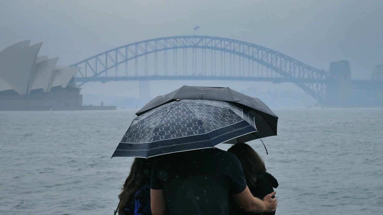
Queensland is on track to experience a rare triple La Nina event this year which would produce months of savage storm activity, cyclones, flash flooding, and hail “the size of cricket balls.”
The return of a third consecutive La Nina has only occurred three times since 1900 and forecasters say it could hit as early as September.
Reputable long-term forecasters Hayden Walker Weather and Higgins Storm Chasers have weighed in on the looming weather event and both agree Queenslanders have plenty of time to prepare and avoid panic.
Hayden Walker said the La Nina return has fallen in line with a renewed solar cycle, which lasts about 11.5 years and is usually topped and tailed by wild weather.
He’s forecasting storms to develop across the state’s southern border areas during September and before moving up through the central highlands in October and then becoming “more widespread” in November.
“They (storms) will be very ferocious and have a large impact of extremity,” Mr Walker said.
“Were talking high winds, hail the size of cricket balls in some areas, people need to be vigilant.
“It’s going to rear its ugly head starting in September and through to January and February is where we get cyclones in Far North Queensland and heavy rain through to April.”

But it’s not all doom and gloom, according to Chief forecaster for Higgins Storm Chasers Thomas Hinterdorfer, who says not all places were “guaranteed” to flood.
However, he added that increased cyclone activity was typical for a third-year La Nina event which had the potential to cause more severe flooding.
“Similarly to last year, giant hailstones and very heavy rainfall will likely both feature throughout the season, but not everyone is guaranteed to flood, it’s simply a matter of where the ‘next’ rain bearing system is going to go and how much it’s going to produce,” Mr Hinterdorfer said.
“However, the general trend surrounding a third year La Nina is above average cyclones across Australia’s region of responsibility, which does include Queensland.
“Over the past few years, Western Australia has been flying the flag so to speak when it comes to Australia’s cyclone count with Queensland being rather lacking but all model data is pointing towards Queensland specifically seeing at least an average number of cyclones, if not above average.
“The point to be made is it only takes one cyclone making landfall to cause flooding.”
Mr Walker said Queenslanders need to start preparing for another possible flood event now, with dense city structures and already saturated grounds now making intense flood run-off more likely.
“Previously we didn’t have all of this intense infrastructure, we had lots of rainwater tanks et cetera and that means once the water does hit, you’ve got increased velocity travelling down drains, roads and footpaths,” he said.
“So the hydrology has completely changed, if we have 1893 again -of which we held the record rainfall of 36 inches overnight -if we had that again, Brisbane would be sitting in mud.
“People need to keep an eye on what’s coming through a week ahead … we all know the basics, so look out for the serious troughs and prepare accordingly.”
Mr Hinterdorfer echoed Mr Walker’s advice, telling Queenslanders to not panic and prepare early.
He said anyone who recently relocated in Queensland should make an effort to become aware of their local flood information, particularly road impacts.
“The first bit of advice we can offer is to not panic about the outlook for the upcoming season, just be aware of the potential,” Mr Hinterdorfer said,
“There is no guarantee an individual location will flood, so knowing your flood plan is very useful in regards to what various river heights mean for you so that if any warnings are issued throughout the season, you already know how that may affect you.
“If you have recently moved to a new area, knowing if your area can flood is very helpful … and knowing what roads are typically cut off by flooding first.
“Remember to never drive through flood waters, trying to cross flash flooding isn’t worth it, turn around and find a safer alternative route.”
PAST TRIPLE LA NINA EVENTS EXPLAINED
1954-57
- 1954-55 events considered moderate and 1955-56 event was strong
- Sea surface temperature reached below 0.4C
- From April 1954 until January 1957 (34 months), Queensland, NSW and Victoria all had over 70 per cent of their areas in the highest decile of rainfall, with parts of these areas being highest-on-record falls.

1973-76
- Strong event starting in Summer 1973 and was the longest sustained period of La Niña conditions in the BOM instrumental record
- Sea surface temperature reached below 1C
- Followed a relatively intense El Nino event
- With an area-average of 760mm, 1974 was Australia’s wettest year on record
- During this La Niña, 400–500 cases of Ross River virus were reported, ranging in areas from South Australia’s Murray Valley region, up to Queensland
- Widespread flooding was experienced in Central and Eastern Australia
- Queensland recorded it’s wettest month on record in January 1974
- Towards the end of January, tropical cyclone Wanda crossed the coast near Brisbane and exacerbated the flooding in Queensland, including one of Brisbane‘s worst floods on record.
- Several other cyclones caused flooding, such as Una in December 1973, Zoe in March 1974, David in January 1976, Beth and ex-tropical cyclone Alan in February 1976, and Dawn in March 1976 to name a few.

1998 – 2001
- Weak event beginning in 1998
- Numerous hailstorms Australia-wide
- Flooding was rife in Queensland however it was not as severe as 1974
- Several tropical cyclones occurred such as Thelma in December 1998, Rona in February 1999, Vance in March 1999, Steve in February and March 2000, Sam in December 2000 and Abigail in February 2001 all causing significant flooding in their wake.
- Substantial crop and stock losses were caused by widespread flooding in NSW and Queensland during July to September 1998
- Some regions had as many as four separate flooding incidents during these three months.


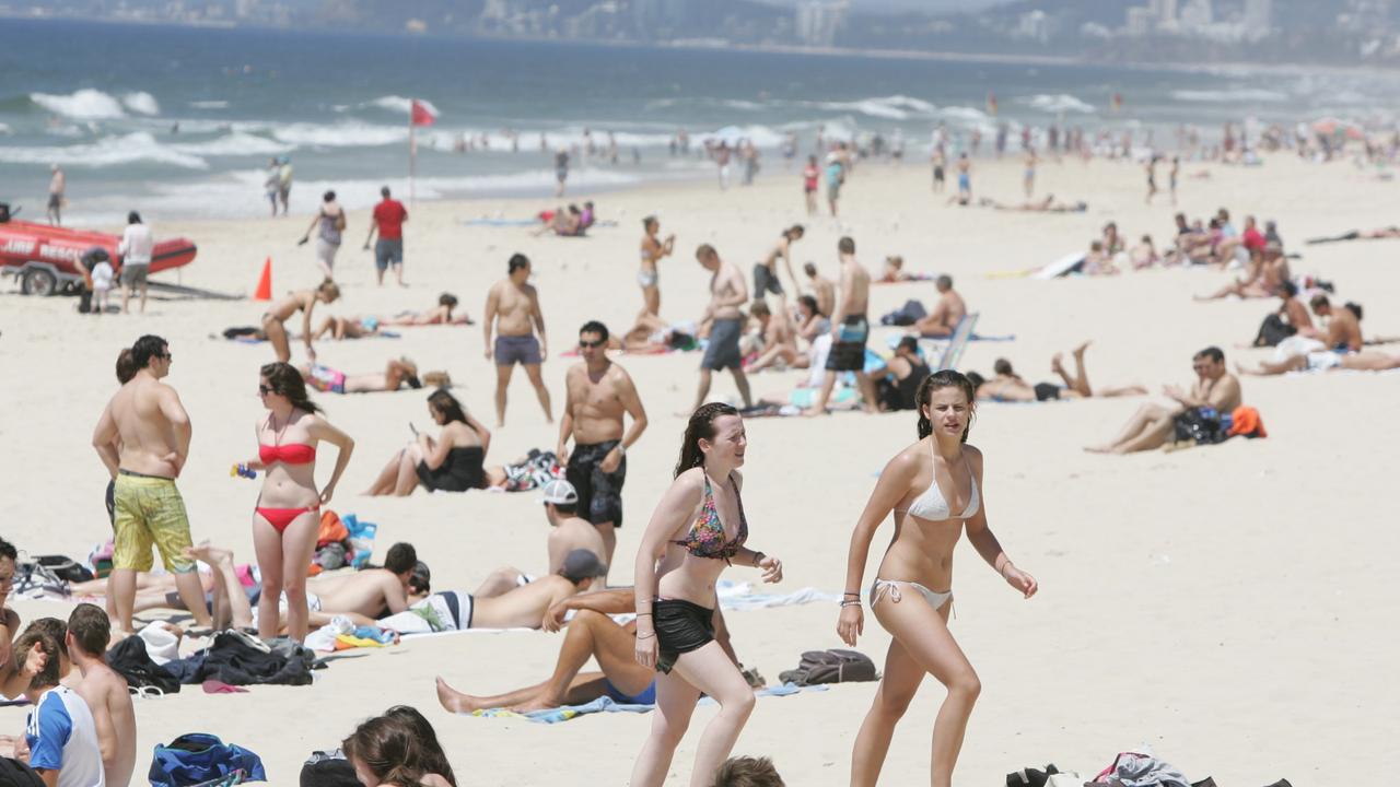
SEQ sunshine for Easter break as inland ocean inches toward border
Showers are clearing after a wet weekend in south east Queensland, with a forecast of sunny days ahead of the Easter break.

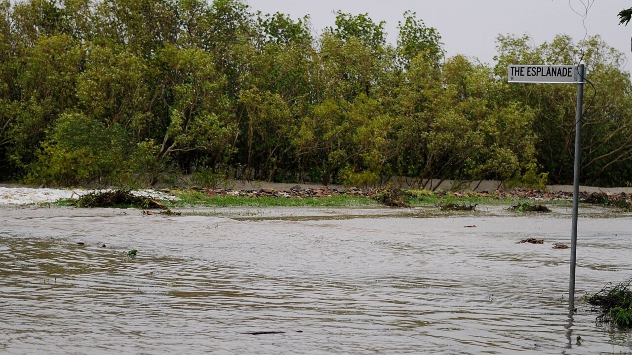
Outback dream wiped out by flood disaster as repair bill tops $1m
The owners of an outback motel face a $1m repair bill in the wake of the once-in-a-generation flood in Thargomindah.