
Queensland weather: Subzero temperatures as polar blast hits
Severe weather warnings have been issued and widespread frosts predicted as a polar blast sends temperatures plunging. It could get down to as low as -2C. FULL FORECAST


QLD weather news
Don't miss out on the headlines from QLD weather news. Followed categories will be added to My News.
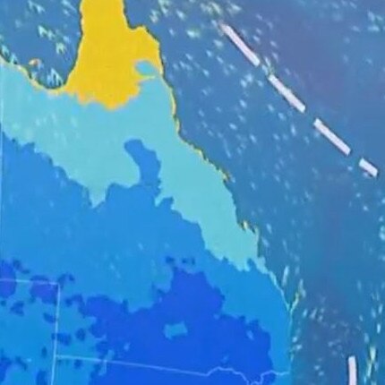
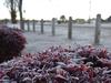
Southern Queensland is set to cop an “icy blast” this week, with some parts to shiver through subzero temperatures bringing widespread frosts and severe weather warnings.
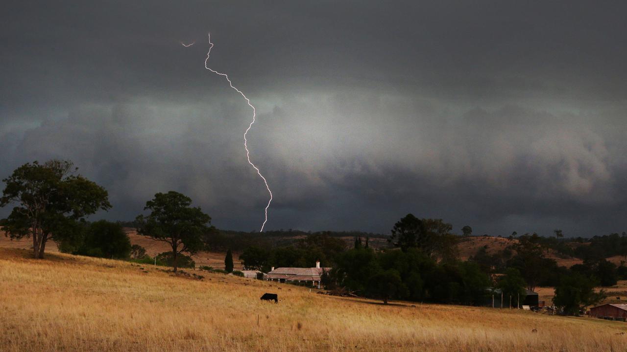
The Bureau of Meteorology is forecasting freezing temperatures and strong winds following possible thunderstorms on Monday afternoon.
“A cold front is moving across the south eastern states, especially central and southern Queensland,” a BOM metrologist said.
“There is a high chance of some isolated showers as well as a thunderstorm on Monday afternoon.
“Once that moves a cold blast behind the storms with a southerly air flow will head across the state.”
BOM is forecasting “extensive frost” for most of the coast as well as central Queensland.
“Mornings will be very brisk and there will be extensive frost around for much of the week for the southern and south east interior,” a meteorologist said.
While the cold temperatures aren’t unusual for this time of year according to BOM, the recent significant cold outbreaks are being experienced earlier than usual.
“This time last year there was significantly more rain around and a lot more moisture in the air, so it definitely is a lot cooler compared to this time last year.”
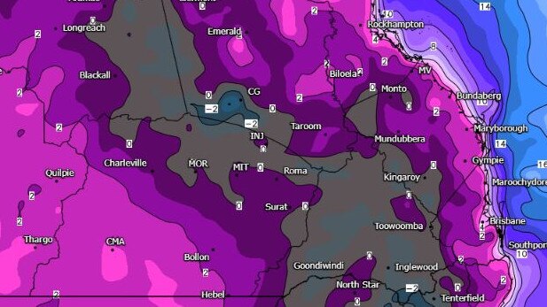
BOM has also issued weather warnings ahead of the cold snap including one for sheep farmers in the Central West, Maranoa, Warrego, Darling Downs and Granite Belt districts.
“Cold temperatures and gusty winds may be hazardous to livestock, epically young lambs. There is a risk of losses of lambs and sheep exposed to these conditions,” the warning said.
The cooler change is set to dissipate by Wednesday with temperatures warming up and stabilising well into mid May.
“Milder temperatures will be experienced overnight. Patchy frost will still be around but are unlikely and there will be a greater chance of shower activity.”
QUEENSLAND FORECAST
Brisbane
Monday: Min: 10C, Max: 22C
Tuesday: 7, 23
Wednesday: 11, 24
Thursday: 13, 23
Friday: 14, 24
Saturday: 14, 24
Gold Coast
Monday: 10, 22
Tuesday: 8, 22
Wednesday: 13, 23
Thursday: 14, 23
Friday: 15, 23
Saturday: 14. 24
Sunshine Coast
Monday: 9, 22
Tuesday: 8, 21
Wednesday: 10, 23
Thursday: 13, 22
Friday: 15, 23
Saturday: 14, 22
Toowoomba
Monday: 5, 14
Tuesday: 3 17
Wednesday: 5, 19
Thursday: 8, 18
Friday: 9, 18
Saturday: 10, 19
Stanthorpe
Monday: 1, 12
Tuesday: -1, 18
Wednesday: 3, 19
Thursday: 6, 18
Friday: 8, 18
Saturday: 8, 18
Warwick
Monday: 2, 16
Tuesday: -2, 20
Wednesday: 3, 20
Thursday: 9, 21
Friday: 9, 21
Saturday: 7, 21
Oakey
Monday: 2, 17
Tuesday: -1, 19
Wednesday: 2, 22
Thursday: 6, 21
Friday: 7, 22
Saturday: 7, 22
Gympie
Monday: 8, 23
Tuesday: 4, 23
Wednesday: 6, 24
Thursday: 11, 23
Friday: 12, 24
Saturday: 13, 24
Mackay
Monday: 17, 25
Tuesday: 11, 22
Wednesday: 12, 24
Thursday: 17, 24
Friday: 18, 25
Saturday: 18, 25
Rockhampton
Monday: 14, 24
Tuesday: 7, 23
Wednesday: 9, 26
Thursday: 14, 25
Friday: 16, 26
Saturday: 16, 26
83mm in 60 mins: Morning storms after inland Qld hammered
Severe thunderstorms have hit parts of inland Queensland overnight, with one area recording more than 80mm in an hour, as more flared up this morning.

Former MP withdraws senate ticket to focus on new role
A former Newman government minister has has stepped away from his senator ambitions to instead focus on helping flood-wrecked North Queensland rebuild.