
QLD weather: Bureau cancels storm warning for parts of SEQ
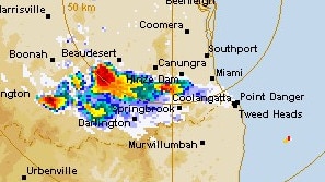
The Bureau of Meteorology continues to monitor the possibility of storms in parts of South East Queensland after cancelling an earlier warning for the Scenic Rim.
QLD weather news
Don't miss out on the headlines from QLD weather news. Followed categories will be added to My News.
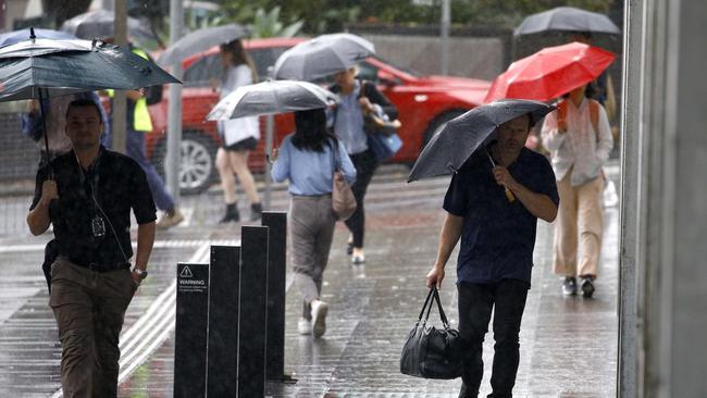
A severe thunderstorm warning issued earlier this afternoon for parts of South East Queensland has been cancelled.
The Bureau of Meteorology says possible storm activity will continue to be monitored initially issuing warnings of thunderstorm in the Scenic Rim.
They said damaging winds and large hailstones were likely.
A more general severe thunderstorm warning was also issued for parts of the Northern Goldfields and Upper Flinders, North West, Central West and Gulf Country districts.
It said severe thunderstorms on Wednesday afternoon were likely to produce damaging winds and heavy rainfall that may lead to flash flooding over Winton, Richmond, Julia Creek, Evesham Station, Cloney’s Creek and Corfield.
“A warm and unstable environment across Queensland is leading to slow moving thunderstorms across central Qld this afternoon.”
“Severe thunderstorms are also moving into southeast Queensland from NSW,” the warning continued.
Earlier on Wednesday forecaster Brooke Pagel said some areas around the Scenic Rim recorded about 102mm with 66mm in only 30 minutes on Tuesday evening, with the pattern of humid days and wet nights set to persist until the weekend.
“Those storms popped up pretty quickly and they were fast moving and had the quick down pour,” she said.
“We have that risk of flash flooding from those quick downfalls and also damaging winds.
“Flash flooding yesterday was in the Scenic Rim areas as well as South Brisbane and there is that risk again.”
Ms Pagel said there was the possibility of severe thunderstorms across South East Queensland from the Gold Coast, Brisbane and Sunshine Coast. She said this risk ran through to Saturday and would most likely start in the west before moving east.
“On average we looked at 40 to 60mm overnight which was quite a lot,” she said.
“It wasn’t like it was a widespread shower day, it happened in the afternoon. Again we could see something similar through to Saturday with high totals.
“The way this trough is weakening, it’s quite slow.”
Ms Pagel said the thunderstorms would most likely hit in the afternoons from the Darling Downs through to the coast.
In addition to the thunderstorm risk, Ms Pagel said Queenslanders would be able to feel the humidity.
“It’s quite humid and quite muggy at the moment,” she said.
“We do have a trough that is weakening, the trough towards the Torres Strait is bringing that moisture down to southern Queensland.
“That heat and moisture brings thunderstorms with it.”
HEAVIEST RAINFALL TOTALS:
Chandler: 54mm
Wacol: 53mm
Innisplain: 102mm
Glengallan: 54mm
Hazeldean: 61mm
Barngo: 59mm
Burleigh: 28mm
Amberley: 26mm
Carole Park: 42mm
Join the conversation
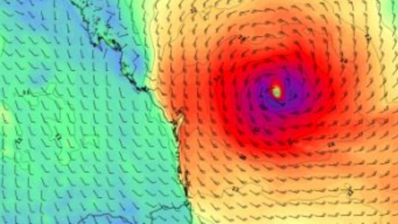
‘Prepare now’: Fears TC Alfred could ‘turn’, make collision course for SEQ
New modelling has sparked fears TC Alfred could turn back towards the Qld coast in coming days while abnormally high tides and gale-force winds are expected this weekend.
Read more
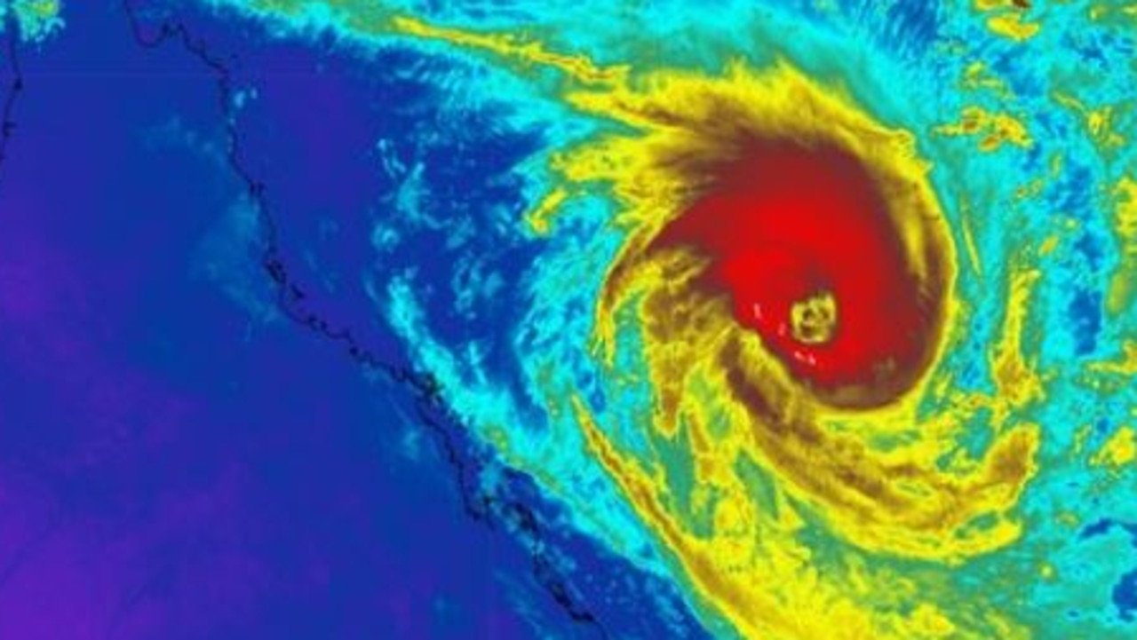
‘Severe’ TC Alfred intensifies to category four for second time
Tropical Cyclone Alfred has once again intensified to a category four system, as it continues to creep slowly parallel to the Queensland coast. Here’s the threat experts warn we can expect in the coming days.
Read more