
Qld weather: Giant hail, intense rain likely as severe storms threaten South East
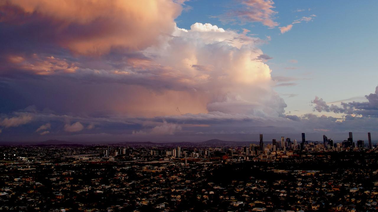
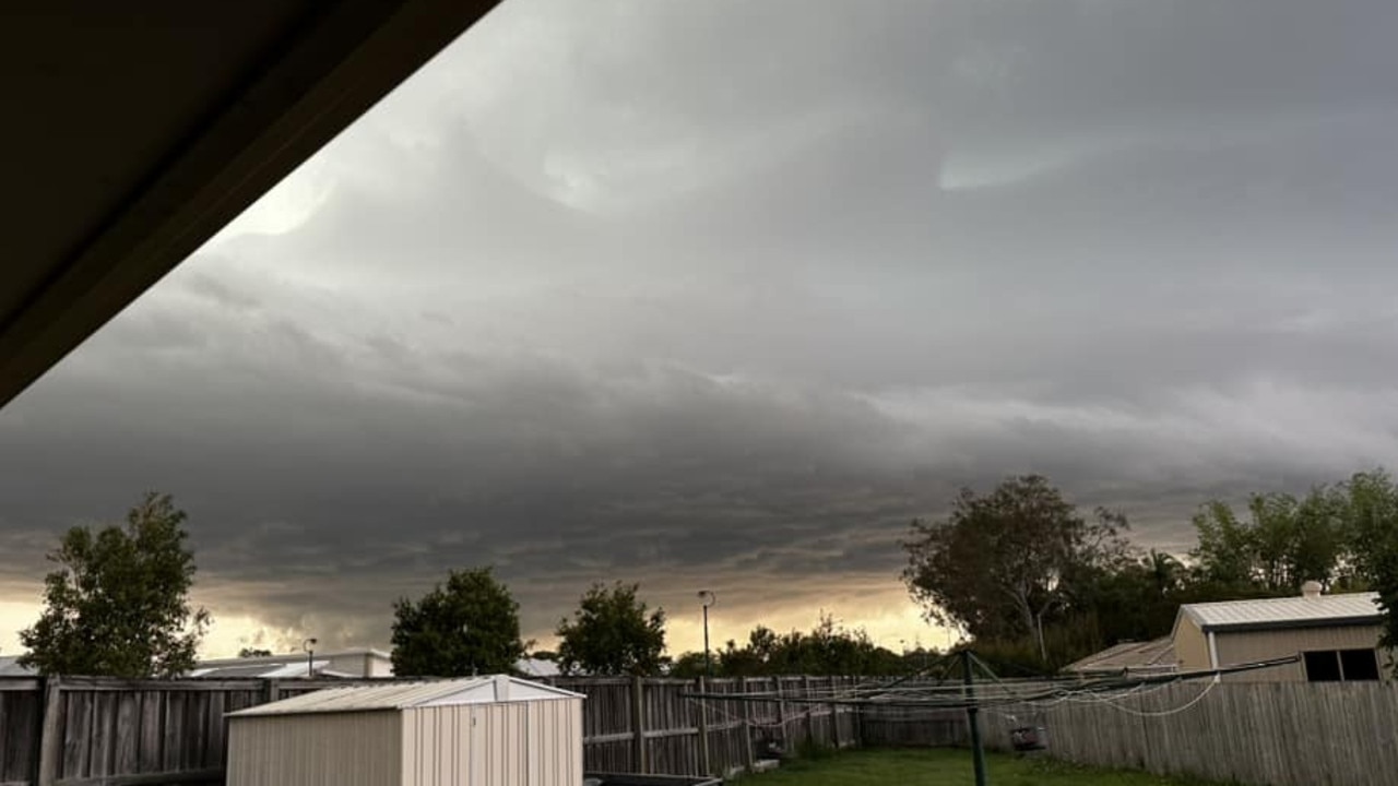
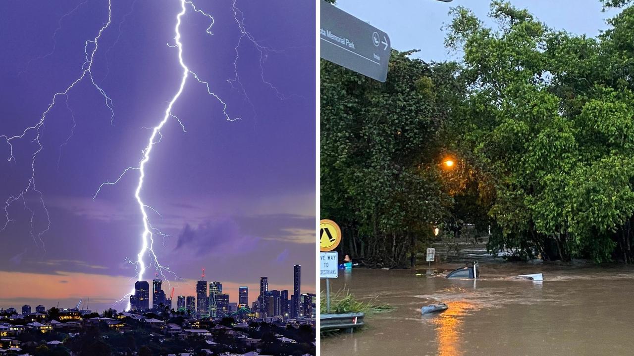
Southern and Southeast Queensland were smashed with severe, fast-moving storms on Wednesday evening, bringing damaging winds, hail and heavy rain.
QLD weather news
Don't miss out on the headlines from QLD weather news. Followed categories will be added to My News.
Southern and Southeast Queensland were smashed with severe, fast-moving storms on Wednesday evening, bringing damaging winds, hail and heavy rain.
Multiple storm warnings were issues across the afternoon for regions spanning from Toowoomba to Moreton Bay and from Esk to the southern Gold Coast.
After the dangerous storms moved off the southeast coast the Bureau of Meteorology cancelled severe thunderstorm warnings for Wide Bay and Burnett and Southeast Coast Forecast Districts.
The Bureau advised that at 6:53pm severe thunderstorms were no longer affecting southeast Queensland, east of Dalby from Rainbow Beach to Stanthorpe.
They said that while the immediate threat of severe thunderstorms had passed, the situation would continue to be monitored and further warnings would be issued if necessary.
Storm activity wreaked havoc with powerlines for the Sunshine Coast rail line, causing delays of up to 30 minutes.
Queensland Rail said services were suspended between Caboolture and Glass House Mountains as crews worked to resolve the issue.
Delays of up to 30 minutes were also expected to impact outbound services on the Caboolture and Sunshine Coast lines.
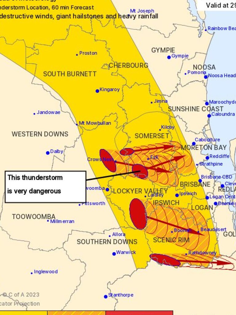
At 6:20pm, severe thunderstorms were detected near Caboolture, Beerburrum and Logan Village.
The Bureau forecast them to affect Beenleigh and northern Bribie Island by 6:35pm and the area southwest of Caloundra, Bribie Island and waters off Bribie Island by 6:50pm.
Large hailstones, damaging winds and heavy rainfall that may lead to flash flooding were likely to hit Greenbank, Lake Samsonvale and Mount Mee by 5:55pm and Logan Central, Caboolture and Wamuran by 6:10pm.
At 5:50pm very dangerous thunderstorms were detected on the weather radar near Burpengary, Mount Mee, Dayboro and Jimboomba.
Other severe thunderstorms were detected on the weather radar near Bundamba Lagoon and Greenbank.
They are forecast to affect Logan Village by 6:05pm and Beenleigh by 6:20pm.
Damaging, locally destructive winds, large, possibly giant hailstones and heavy rainfall that may lead to flash flooding are likely.
Warnings for the Darling Downs and Granite Belt were cancelled at 5:44pm when the Bureau said the dangerous storms had moved east away from these districts.
At 5:22pm, The Bureau advised severe thunderstorms were no longer occurring in the Central Highlands and Coalfields and Capricornia districts and cancelled the warning for these districts.
⛈ï¸âš ï¸ Severe thunderstorm warning updated for destructive winds, giant hailstones and heavy rainfall. Very dangerous thunderstorms are forecast to affect Mount Nebo, Highvale and the D'Aguilar Ranges by 5:35pm. See: https://t.co/FBmpsInT9opic.twitter.com/BngkjSRJoK
— Bureau of Meteorology, Queensland (@BOM_Qld) November 29, 2023
By 3:59pm six storm cells were detected near the area southeast of Warwick, the area north of Toowoomba, the area west of Toowoomba, the area south of Warwick and the ranges north of Jandowae.
They are forecast to affect Toowoomba, the area south of Toowoomba and Helidon by 4:20pm and Laidley, Gatton and the area south of Kingaroy by 4:50pm.
At 4:12pm the Bureau reiterated their general severe thunderstorm warning as large hailstones, damaging winds, heavy rainfall and potential flash flooding may impact the warning area over the next several hours.
Locations which may be affected include Toowoomba, Kingaroy, Ipswich, Gatton, Cherbourg and Oakey.
Large hailstones and damaging winds are likely.
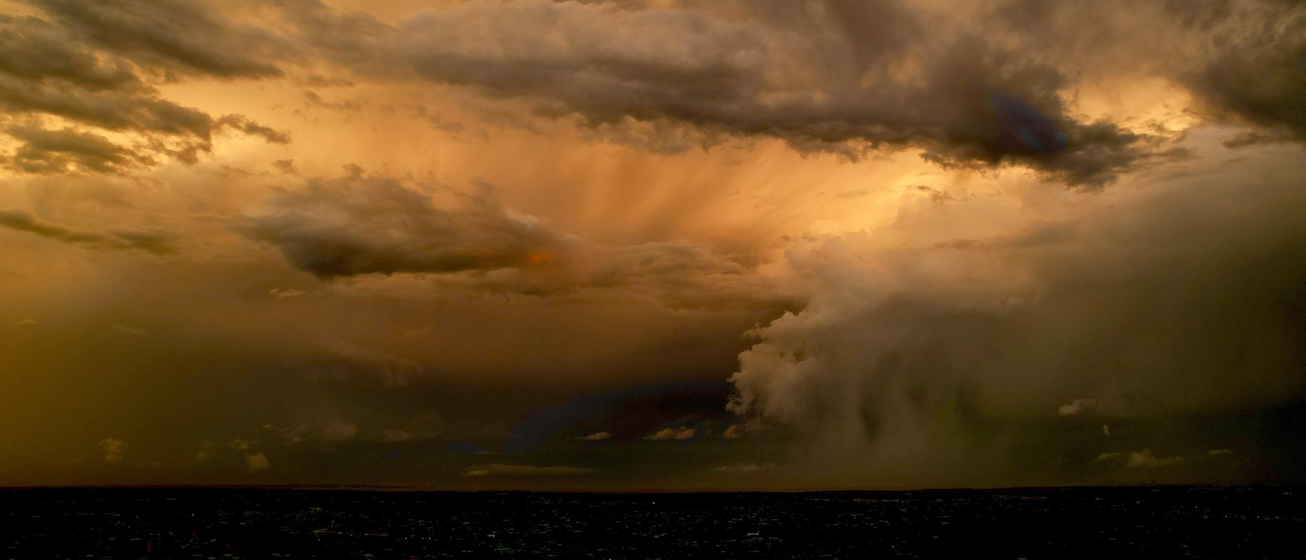
The Bureau said in its warning that a surface trough in combination with an upper disturbance has resulted in severe thunderstorms developing across parts of the southeast inland.
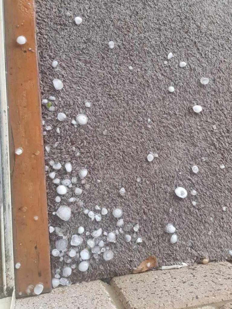
The severe thunderstorms were likely to produce large hailstones and damaging winds in the warning area over the next several hours.
Meanwhile, they said severe thunderstorms were no longer occurring in the Maranoa and Warrego district and the warning for this district was cancelled.
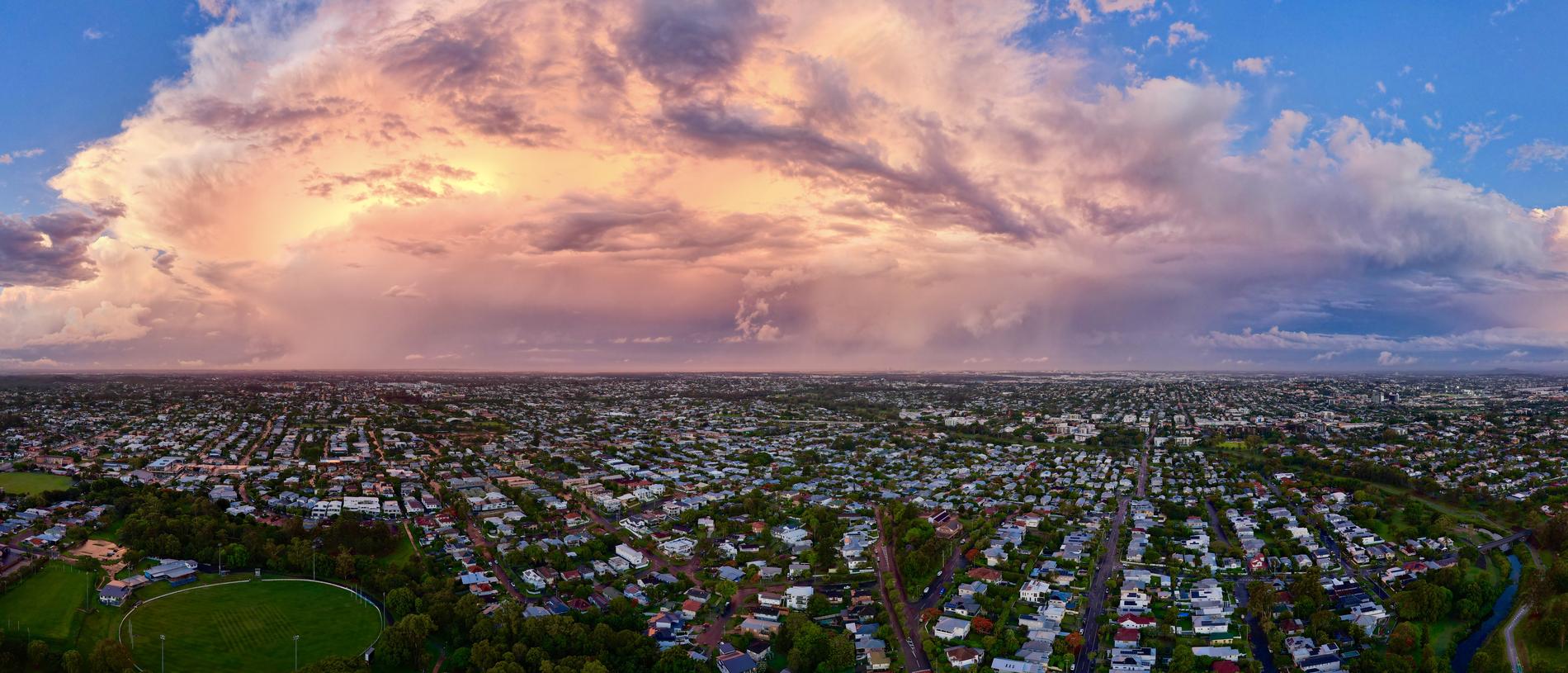
It comes as Southeast Queensland is staring down the barrel of a barrage of potentially severe thunderstorms later in the afternoon or evening, with suffocating humidity currently enveloping the region.
⛈ï¸âš ï¸A Severe Thunderstorm Warning has been issued for Southeast Queensland for large hailstones and damaging winds and will affect people in parts of Southern Downs, Toowoomba, Western Downs and Lockyer Valley Council Areas. Latest warnings: https://t.co/FBmpsInT9opic.twitter.com/eCbqnmZC6C
— Bureau of Meteorology, Queensland (@BOM_Qld) November 29, 2023
The worst of the storms are likely to hit the Darling Downs and Granite Belt, with a possibility of severe storm activity for Brisbane, the Gold and Sunshine coasts, and from St George all the way up to Gladstone.
Severe thunderstorms are also possible for the remainder of the east coast, including Townsville, Cairns and Cape York up to Weipa; and through the Northern Goldfields and Gulf Country to the Northern Territory border, with Mt Isa and Cloncurry also possibly in the firing line.

The storms are will follow a humid start to the day with relative humidity sitting up to 99 per cent across the southeast.
Coolangatta was sitting at 98 per cent humidity by 9am this morning, Brisbane at 88 per cent, Gold Coast Seaway at 89 per cent, Cape Moreton 92 per cent and Redlands at 86 per cent.
Further north, Lady Elliott Island recorded 99 per cent humidity and inland at Kingaroy it was 95 per cent.
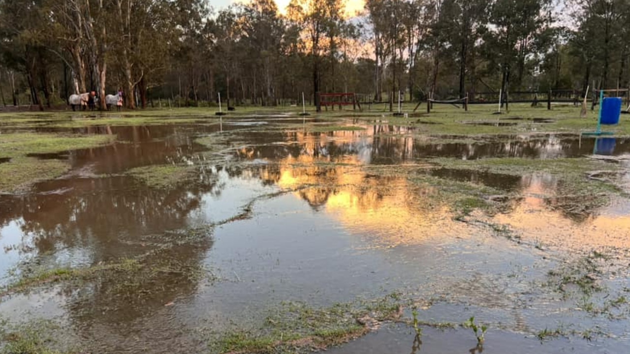
It comes after two days of heavy rain, with triple-figure totals added to overnight by close to 80mm in some places.
Luscombe in the Gold Coast hinterland topped the rain gauge in the southeast with 77mm, while Samuel Hill near Rockhampton received 78mm.
Brisbane was hit with 22mm in parts, while Caboolture received 52mm.
There is brief respite on the way, with Thursday forecast to be mostly sunny in the southeast, with a chance of thunderstorms in the afternoon and evening, with a daytime temperature reaching low to mid 30s.

Join the conversation
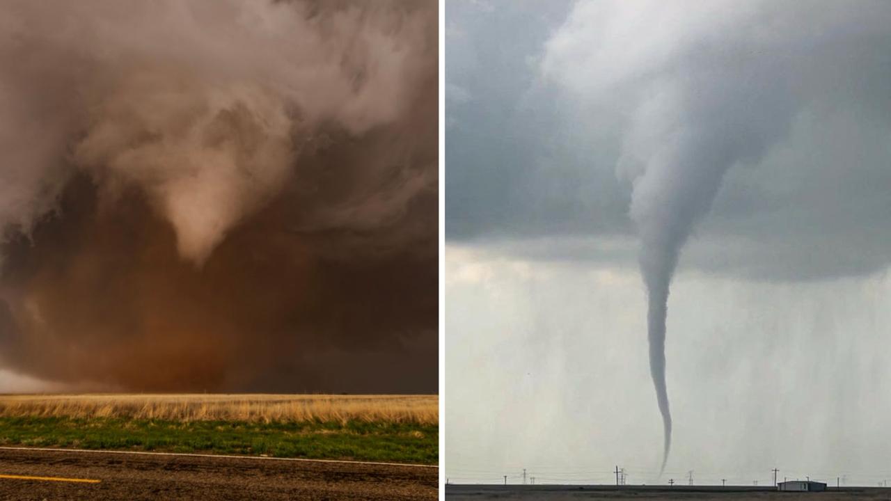
Roof tearing tornadoes captured by Queensland storm chaser
A Queensland storm chaser has captured remarkable photos of destructive tornadoes that have wreaked havoc across Texas. SEE THE PHOTOS
Read more
‘Everything was on fire’: Teen recounts being struck by lightning
A Southeast Queensland teen has recounted the horrifying moment she was struck by lightning during last night's wild weather, which saw her and another woman raced to hospital.
Read more