
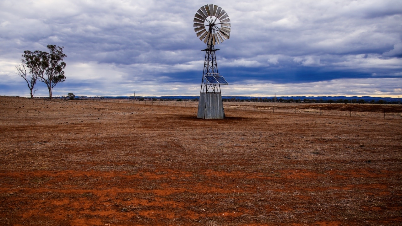
‘No relief in sight’: Queensland braces for week of storms
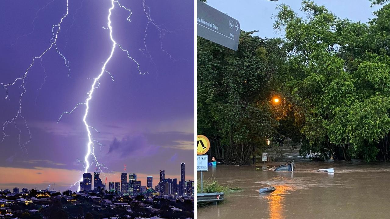
The next two weeks will be ‘wetter than usual’ in South East Queensland, with possibly severe thunderstorms forecast for as early as Tuesday – but that doesn’t mean the oppressive humidity is going away.
QLD weather news
Don't miss out on the headlines from QLD weather news. Followed categories will be added to My News.
Parts of Queensland were on alert for dangerous storms on Sunday but the peak of the wild weather is expected to hit the South East in coming days.
The BoM said storms moving up from NSW were likely to hit South East Queensland in the coming days.
Sky News meteorologist Rob Sharpe confirmed the wild weather was being driven by a low-intensity heatwave sitting across NSW and the Brisbane region, which would transform into “severe thunderstorms right up and down that eastern coastline” midweek.
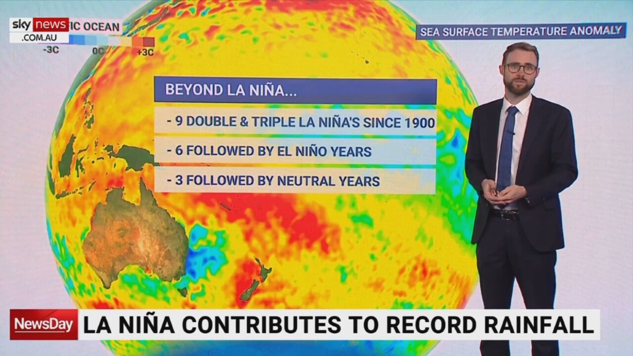
Mr Sharpe said Queensland should brace for a “long, wet run”, with the next fortnight looking “wetter than usual” across the whole state.
Eight-day rainfall totals of more than 50mm are expected along the coast.
Bureau of Meteorology forecaster Harry Clark said the South East would continue to swelter through elevated “feels like” temperatures.
“It is quite humid so it will feel a bit warmer than the actual temperature,” he said.
Brisbane temperatures are forecast in the high 20s to low 30s through the week, but high humidity will push the apparent temperature several degrees warmer.
“Unfortunately there won’t be a huge change in temperatures,” Mr Clark said.
“It’ll cool off a little bit with the storms on Tuesday, but it jumps up again quickly, so there’s not much relief in sight.”
A previous severe storm warning for large parts of Channel Country and the North West was downgraded earlier Sunday, but the Bureau warned storms also remained likely in western parts of the state.
“There’s still storms developing in the west later today, overnight and tomorrow, and there’s a good chance that storm warning will be reissued,” Mr Clark said on Sunday.
“There will be a slow eastern progression across the state over the next few days.”
By Tuesday, storms are expected over most of the state, from the Southeast, to the west, and up to Gulf Country.
It comes after the Bureau of Meteorology had issued warnings for the Southern Downs area Sunday afternoon after severe thunderstorms were detected just over the NSW border. The alerts were for heavy rain, damaging winds and large hailstones but were cancelled just before 6pm.
A more general severe thunderstorm warning for parts of the Darling Downs and Granite Belt regions was also cancelled by 6pm Sunday.
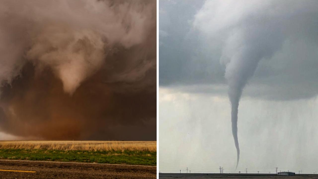
Roof tearing tornadoes captured by Queensland storm chaser
A Queensland storm chaser has captured remarkable photos of destructive tornadoes that have wreaked havoc across Texas. SEE THE PHOTOS
‘Everything was on fire’: Teen recounts being struck by lightning
A Southeast Queensland teen has recounted the horrifying moment she was struck by lightning during last night's wild weather, which saw her and another woman raced to hospital.