
La Nina’s impact on Queensland communities mapped
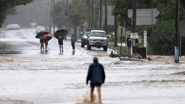
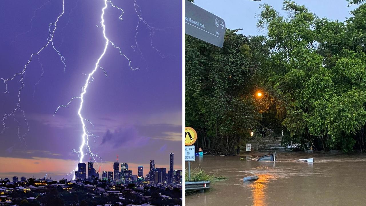
Queensland is bracing for widespread drenching rain and flooding due to a rare triple La Nina event. These are the areas expected to be hit hardest.

QLD weather news
Don't miss out on the headlines from QLD weather news. Followed categories will be added to My News.
Queensland will feel the full effects of a third La Nina event from November, with drenching, widespread rainfall to start building from next week.
All Queensland areas have roughly a 30 per cent chance of exceeding their peak rainfall totals for November, meaning Brisbane could receive more than 130mm, the Gold Coast 150mm and the Sunshine Coast 180mm.
BOM head of long-range forecasts Dr Andrew Watkins said although most of the dense rainfall is forecast to hit the state from November onwards, tropical lows could still form before then, bringing heavy falls and the chance of an early cyclone.
“Most of the above average rainfall lands on the month of November in terms of chance but in actual fact, because of the seasonal cycle, it will keep getting wetter after November,” Dr Watkins said.
“We are expecting the northern rains to arrive earlier this year, which is typical for La Nina and likewise is a chance of that first tropical cyclone arriving earlier as well.
“We’re worried about the winds in the coastline causing damage and also the rain the systems can bring as well, you don’t need a tropical cyclone as a low can also bring a lot of rain.
“We just need to be cautious.”
All southeast coastal areas currently have more than a 60 per cent chance of exceeding their median November rainfall totals, with most places including Brisbane, the Gold Coast and Sunshine Coast expected to cop at least 100mm.
Meanwhile, there’s more than a 60 per cent chance inland areas including Ipswich, Toowoomba and dryer coastal areas like Mackay will receive more than 70mm.
Rainfall is expected to build ahead of the November drenching, with scattered showers forecast for most of the South East from today.
Light rainfall would continue tomorrow with a maximum of 10mm predicted to fall in Brisbane on Saturday.
Skies will briefly clear on Sunday and Monday, with a showers expected to return from Tuesday afternoon onwards.
Dr Watkins said Queenslanders could enjoy the little remaining dry weather and use the weeks leading up to November to prepare.
“For much of Queensland we’re still at the end of the dry season, actually it’s the driest month seasonally, normally we’re worried about fires during this time,” Dr Watkins said.
“But saying that, our second half of September is still wetter than average.”
In a typical year Queensland experiences a northern rainfall onset during November however, the Bureau predicts this rainfall would arrive earlier due to La Nina and the negative Indian Ocean Dipole.
The Bureau of Meteorology confirmed a rare triple La Nina event yesterday, saying the negative IOD would continue alongside cool tropical Pacific Ocean temperatures, marking the return of typical a La Nina weather pattern.
The La Nina wet weather pattern is expected to lock in for at least four months, lasting until early 2023.
North Queensland areas such as Cairns and Townsville are most likely to experience unusually high wet weather during October, with the rest of the state set for a drenching come November.
Heavy falls are expected to last through December, with the Bureau currently predicting at least 250mm along the entire south east coastline in the three months leading up to Christmas.
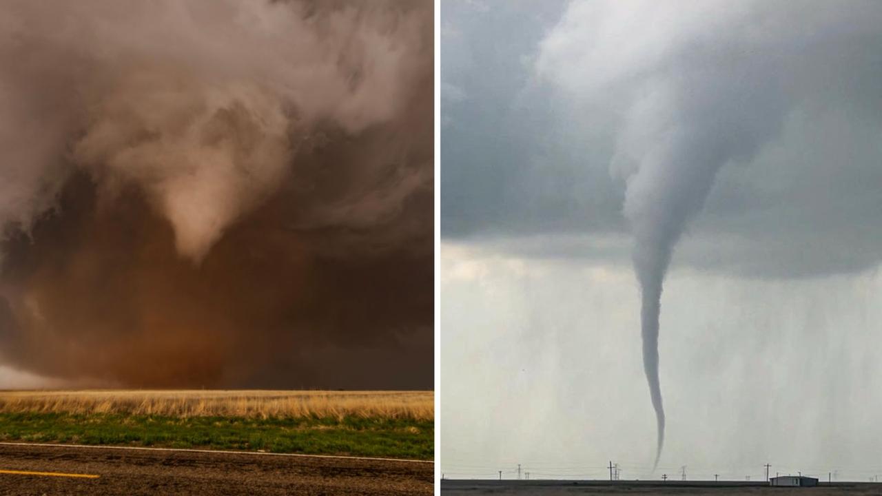
Roof tearing tornadoes captured by Queensland storm chaser
A Queensland storm chaser has captured remarkable photos of destructive tornadoes that have wreaked havoc across Texas. SEE THE PHOTOS
‘Everything was on fire’: Teen recounts being struck by lightning
A Southeast Queensland teen has recounted the horrifying moment she was struck by lightning during last night's wild weather, which saw her and another woman raced to hospital.