
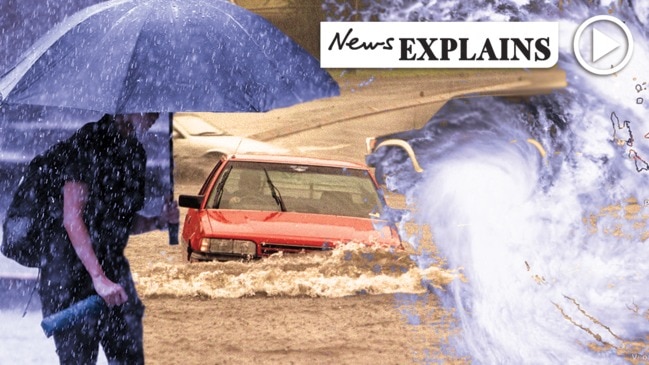
Cyclone Uesi to whip up storm activity on southeast Qld coast
Cyclone Uesi is not expected to make landfall in Queensland, but the southeast coast will not escape its effects heading into the weekend.
QLD weather news
Don't miss out on the headlines from QLD weather news. Followed categories will be added to My News.
STILL reeling from a series of daily storms, Australia’s east coast is now being threatened by a category-three cyclone that is edging south from New Caledonia and set to deliver thunderstorms, heavy rain and dangerous surf conditions in coming days.
The Bureau of Meteorology is forecasting Cyclone Uesi, which was yesterday about 1400km from the coast, could enter waters off Queensland but is not expected to make landfall.
Storms, rain to continue with Cyclone UESI beckoning
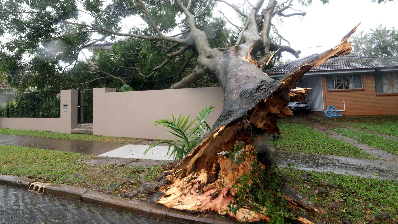
Brisbane traffic: Roads block by burst water main, fallen tree
Cyclone Uesi a moderate chance to batter QLD later this week
“At this point there is no risk of landfall on the east coast, but it might just come close enough to the east coast just to have a little bit of an increase in shower and thunderstorm activity on the Gold Coast on Saturday,” meteorologist Kimba Wong said.
“The main effects we’re expecting are windy conditions on the coast on Thursday and Friday, and also some increasing swells for the southern coastline so a big easterly swell coming through.
“There is a pretty broad spot of uncertainty there, but it is tracking to the south/southwest over the next few days coming closer to the Australian mainland.”
Ms Wong said Cyclone Uesi would likely weaken and become ex-tropical as it headed further south.
A large easterly swell is also expected to bring with it 3m to 3.5m waves, causing hazardous surf conditions.
University of Queensland geography professor Annie Lau warned people to stay away from the beach during the dangerous conditions.
“We can expect some erosion across the beaches, but there is no unprecedented danger at the moment,” Dr Lau said.
It comes as several regions broke their February rainfall records, including Coolangatta with 201mm, Oakey at 115mm, and Pratten with 111mm, as more than 1140 requests for assistance were made to the State Emergency Service since last Tuesday.
There were also about 50 swiftwater rescues in the past week.
Multiple flood warnings were put in place yesterday as heavy rainfall closed roads, with a major flood warning issued at 2.30pm for the Georgina River at Marion Downs.
The area is expected to see moderate flood levels at Bedourie on Eyre Creek in the next few days, while people in parts of the Wide Bay and Burnett, Darling Downs, Granite Belt and southeast coast were issued a severe thunderstorm warning with heavy rainfall late yesterday.

80kmh gusts: Strong wind warning for southeast
Parts of South East Queensland are being warned to expect strong winds, with gust up to 80km/h possible, as temperatures are set to drop.
Cyclone insurance claims soar
More than 31,000 claims were lodged across the southeast after ex-tropical cyclone Alfred dealt widespread damage to thousands of houses, properties and cars. See where the most claims were made.