
Big surf to stay and rain on the way as Seth lingers off Qld coast
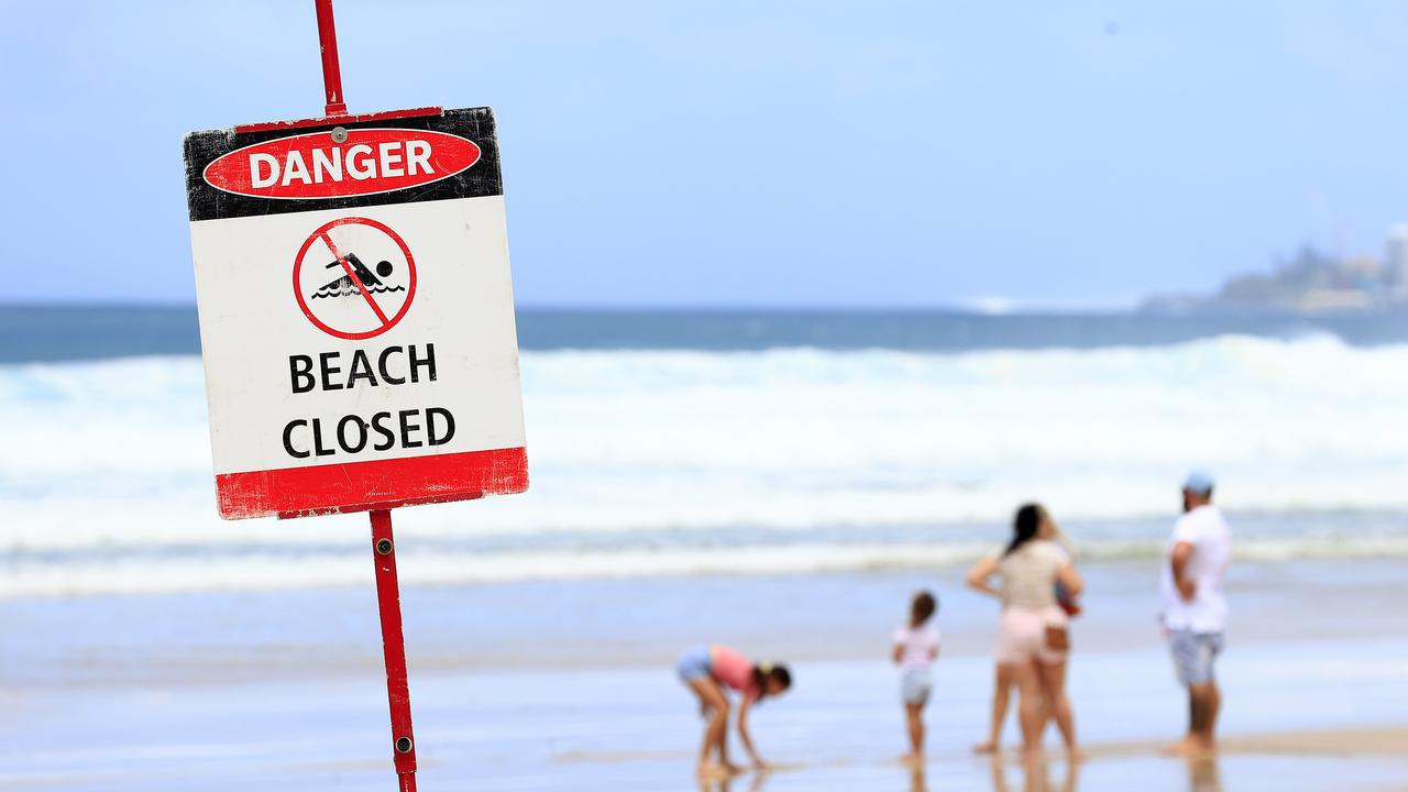
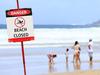
All Gold Coast beaches remain closed today as ex-Tropical Cyclone Seth continues to track towards the Queensland coast.
QLD weather news
Don't miss out on the headlines from QLD weather news. Followed categories will be added to My News.
All Gold Coast beaches have been closed again as big waves and king tides continue to pound the Glitter Strip.
Gold Coast chief lifeguard Chris Maynard said while the huge swell whipped up by ex-Tropical Cyclone Seth had subsided, conditions were still too dangerous to reopen beaches.
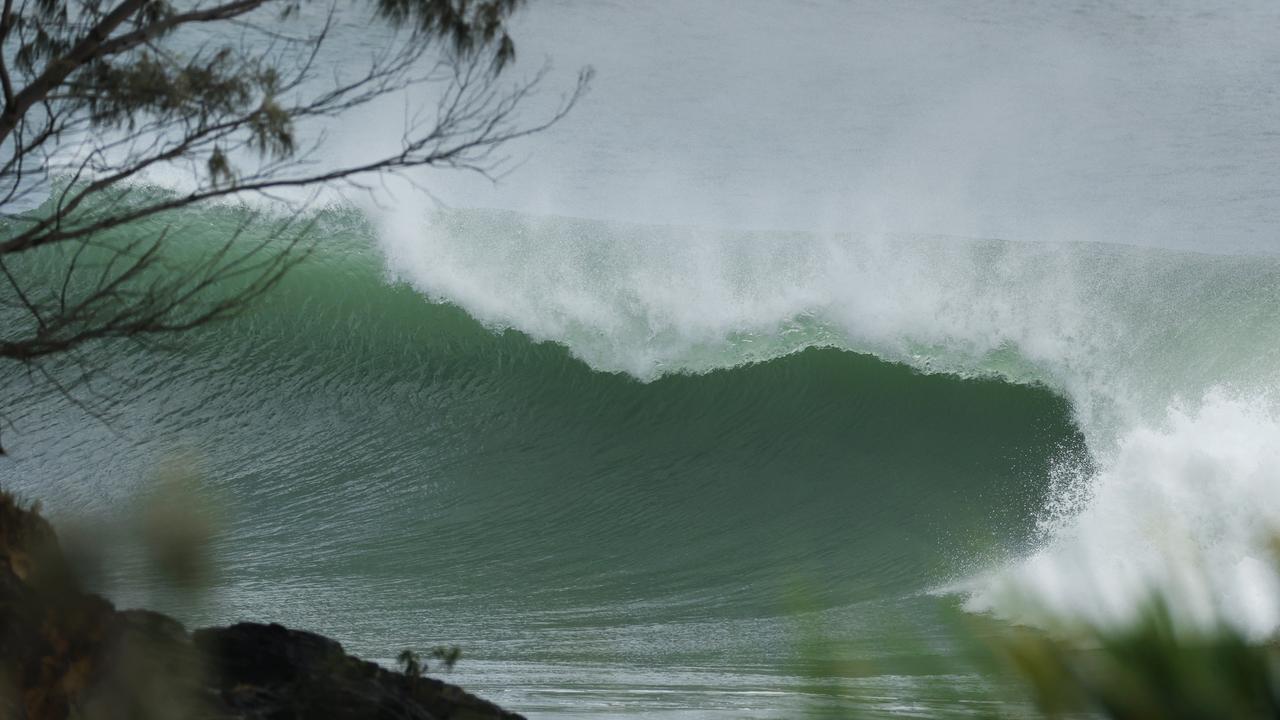
“There’s still a very solid swell running and a 2m king tide around 9.30am which is creating hazardous surges,” he said.
“All beaches will be closed again today (Tuesday) and we’ll reassess conditions tomorrow morning.”
Mr Maynard urged beachgoers to take extreme care as the tide came in.
He said 30-35 knot southerly winds were continuing to buffet the coast. Gold Coast City Council crews are waiting for the big swell to drop off over the weekend before repairing damaged beaches.
Beaches have also been closed on the Sunshine Coast and North Stradbroke and Moreton islands.
The closed beaches are Clifton Beach, Cylinder Beach (Stradbroke Island), Dicky Beach, Kewarra Beach, Marcoola, Mission Beach, Mudjimba, Palm Cove, Trinity Beach and Yaroomba.
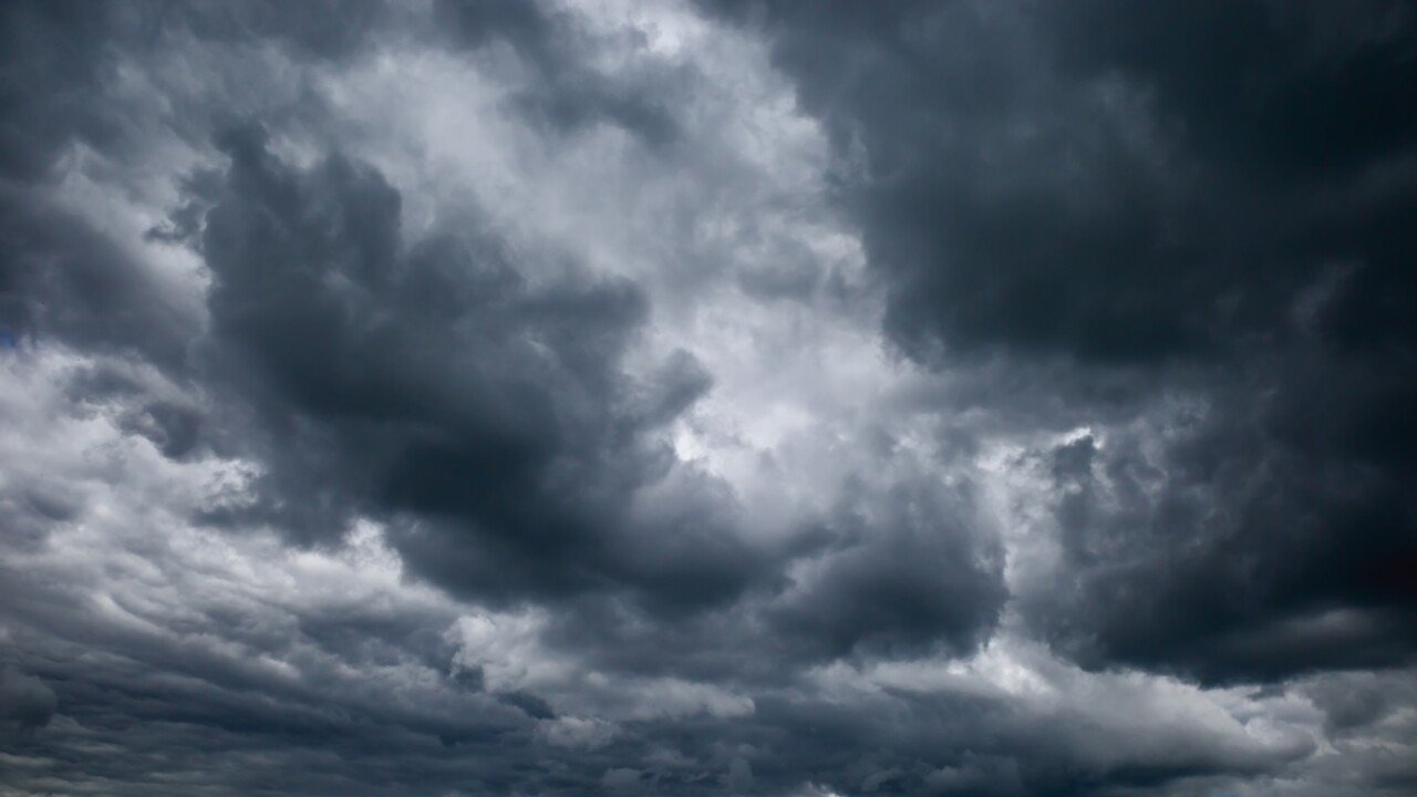
Seth is expected to deliver a wet week as it continues to move towards the coast.
“The future movement of ex-tropical cyclone Seth is uncertain,” Bureau of Meteorology meteorologist Helen Reid said.
“We’re expecting it to drift slowly west and possibly north over the next few days and it’s uncertain whether it will even cross the Queensland coast.
“We can expect an increase in shower activity over the South East as the week progresses and that’s all dependent on the movement of ex-tropical cyclone Seth.”
Ms Reid said by the time the system nears the coastline, it’s unlikely to bring the significant rainfall associated with lows recently downgraded from a cyclone.
“We’re not looking at it being 100mm, but more like 20mm to 30mm,” she said.
“The position of the low means that New South Wales will likely catch it (Tuesday), just up to maybe 15mm.
“It’s not until Thursday that we will see things picking up to 20mm to 30mm through the southeast of Queensland.”
She said the location of rainfall was entirely dependent on the movement of the ex-cyclone over the coming days.
The powerful south-easterly swell from the low will continue across the coming days and coincide with tides around the highest astronomical tide.
Gale warnings are current for South East coast waters Tuesday while strong wind warnings are current for adjacent waters.
Thunderstorms are also expected in the north and north western parts of the state over the coming days.
More Coverage

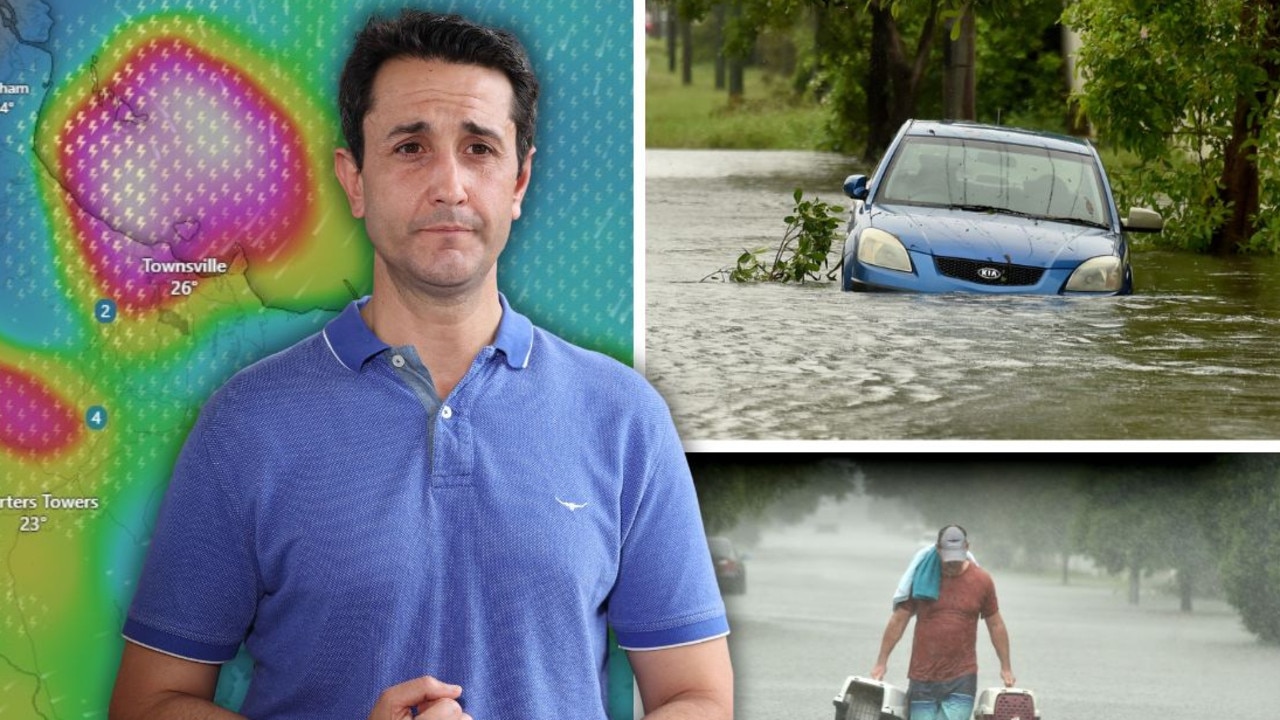
‘Testing NQ’s resilience’: Life-threatening flood warning, 250mm weekend forecast
Extra swiftwater rescue crews, police and boats are being sent north from SEQ ahead of what the Premier has warned will be another severe weekend of devastation for an already-saturated and “hurting” region.
Airport ‘evacuated’ and shut down amid fresh flood fears
A North Queensland airport has been closed with reports waiting passengers were being evacuated from the building amid flooding concerns as the region is battered by rain.