Roads flooded and warnings out as Sunshine Coast weathers heavy rain
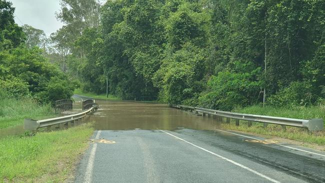
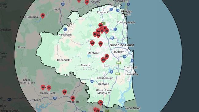
More than 40 roads are closed as heavy rains batter the Sunshine Coast, and councils are setting up sandbagging locations to help protect against potential flash flooding. VIDEO, PICTURES, LIST OF ROADS CLOSED
Sunshine Coast
Don't miss out on the headlines from Sunshine Coast. Followed categories will be added to My News.
The Sunshine Coast is being hammered by wild rain, with the Bureau of Meteorology forecasting a week of wet weather.
The Bureau of Meteorology reports 34mm have fallen so far today in Nambour, and 9.4mm at Sunshine Coast Airport.
The BOM forecasts more rain across the coast over the next 48 hours.
Noosa Council is warning residents to avoid several roads due to flash flooding and raised waterway levels.
The severe thunderstorm warnings have since been cancelled, but more rain is expected as the day progresses.
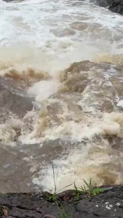
Subway Ave in Pomona has reached “major” levels of flooding and is closed.
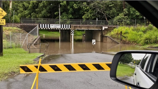
Andersons Road in Black Mountain is flooded and drivers on Upper Pinbarren Creek Road are advised to take caution.
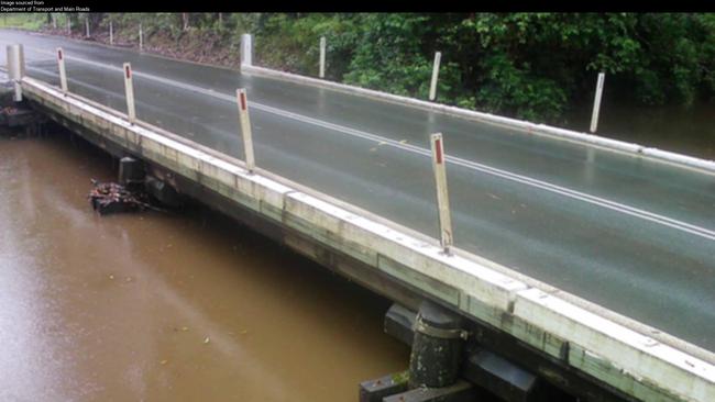
QLD Traffic flood cams are showing extremely high water levels by the Pomona - Kin Kin Road (Hill Street) at Cooroora Creek and Ringtail Creek - Boreen Road (Louis Bazzo Drive) at Six Mile Creek.
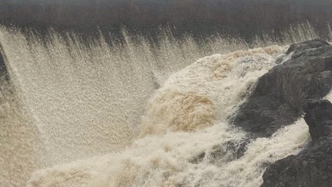
Overall, there were more than 40 roads closed across the Sunshine Coast.
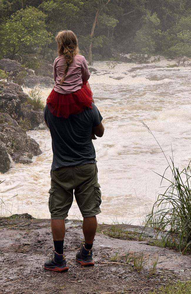
Noosa Council has set up sandbag filling locations in Cooroy, Pomona, Cooran, Kin Kin and Tewantin.
The Sunshine Coast Council Disaster dashboard reports Bli Bli, Vee, Gobberts and Colemans Roads are all closed in Yandina due to flooding.
Both councils and emergency services are urging road users to drive safely to the conditions.
If it’s flooded, forget it.


