Qld weather: South East smashed by slow-moving rain bomb
Flood releases at South East Queensland’s biggest dam are set to begin for the first time in two years as the threat of more severe thunderstorms looms following a 141mm overnight deluge.
QLD weather news
Don't miss out on the headlines from QLD weather news. Followed categories will be added to My News.
Flood releases at South East Queensland’s biggest dam are set to begin for the first time in two years as the threat of more severe thunderstorms looms following a 141mm overnight deluge.
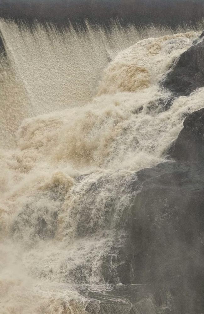
SEQ Water has confirmed that 17 dams across South East Queensland are now spilling, with the region’s biggest dam, Wivenhoe, to begin releases for the first time since October 2022.
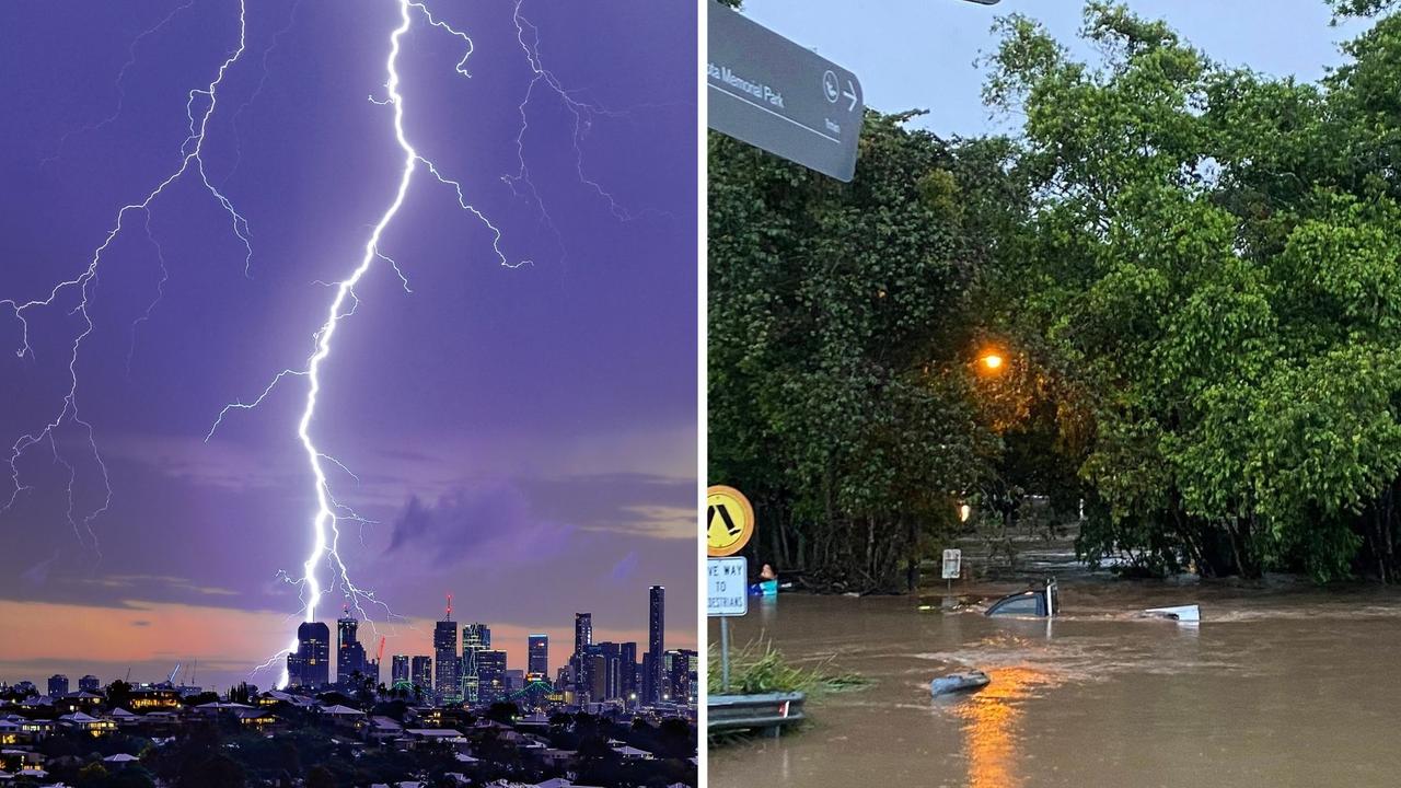
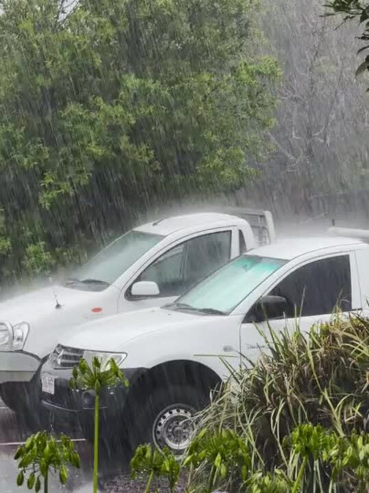
Relentless heavy showers pounded down overnight as they rolled through from the coast, soaking Brisbane, Moreton Bay and the Sunshine Coast throughout the night, and causing a number of severe thunderstorm warnings to be issued.
SCROLL DOWN FOR FLOOD WARNING AND DAM RELEASE INFORMATION
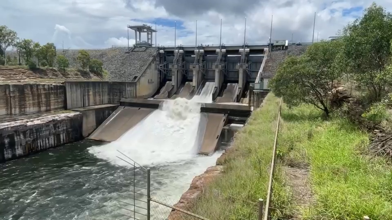
A total of 86mm of rain fell in just two hours to 2am at Lawnton, while Kallangur was saturated by 70mm of rain in just one hour to 1.15am.
A lot of the heaviest falls were just to the west of Brisbane, with Cedar Creek near Samford copping a whopping 141mm since 9am on Monday.
Other 100mm-plus totals were recorded at Delaneys Creek (132mm), Kallangur (129mm), Hervey Bay (119mm), Mt Nebo (117mm), Highvale (115mm), Lawnton (111mm), North Pine Dam (107mm), Murrumba Downs (106mm), Mount Mee (100mm) and Biggenden (100mm).
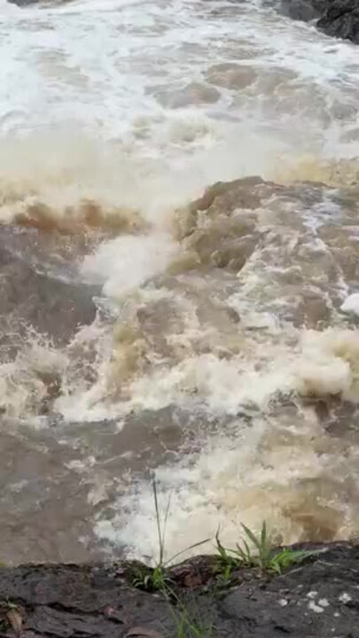
In Brisbane, most of the biggest totals were to the north of the river, with 61mm recorded in the CBD, 83mm at Hendra, 80mm at Mt Coot-Tha, 78mm at Albany Creek and 73mm at Bowen Hills.
Further north, Hervey Bay recorded 119mm in the 20 hours to 5am, while Torbanlea recorded 127mm in the 22 hours from 9am on Monday.
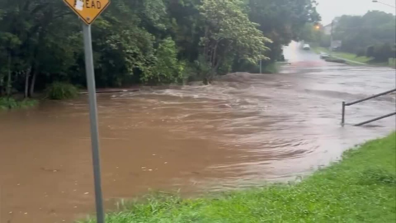
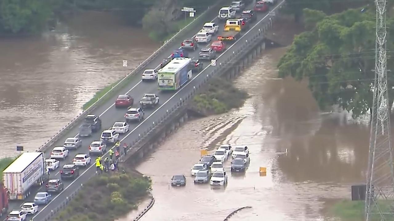
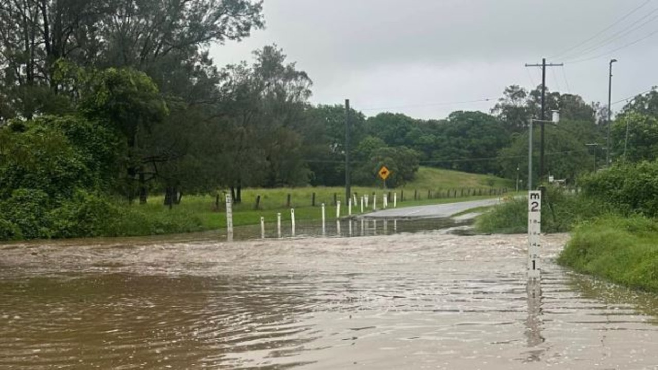
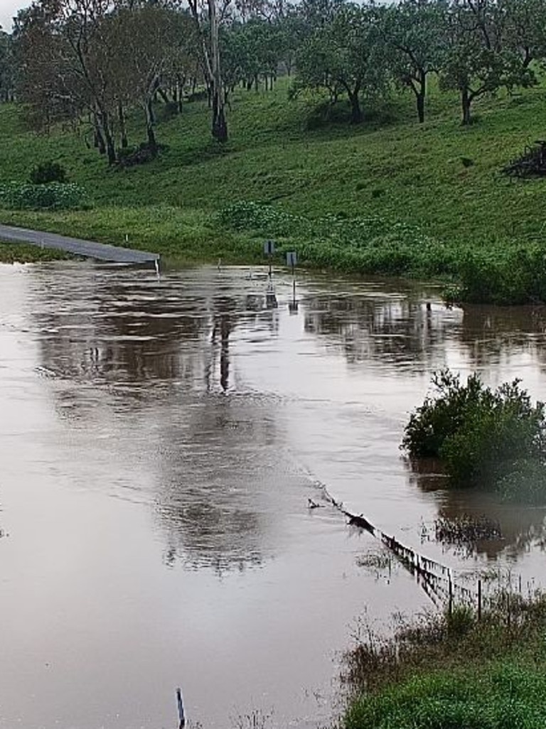
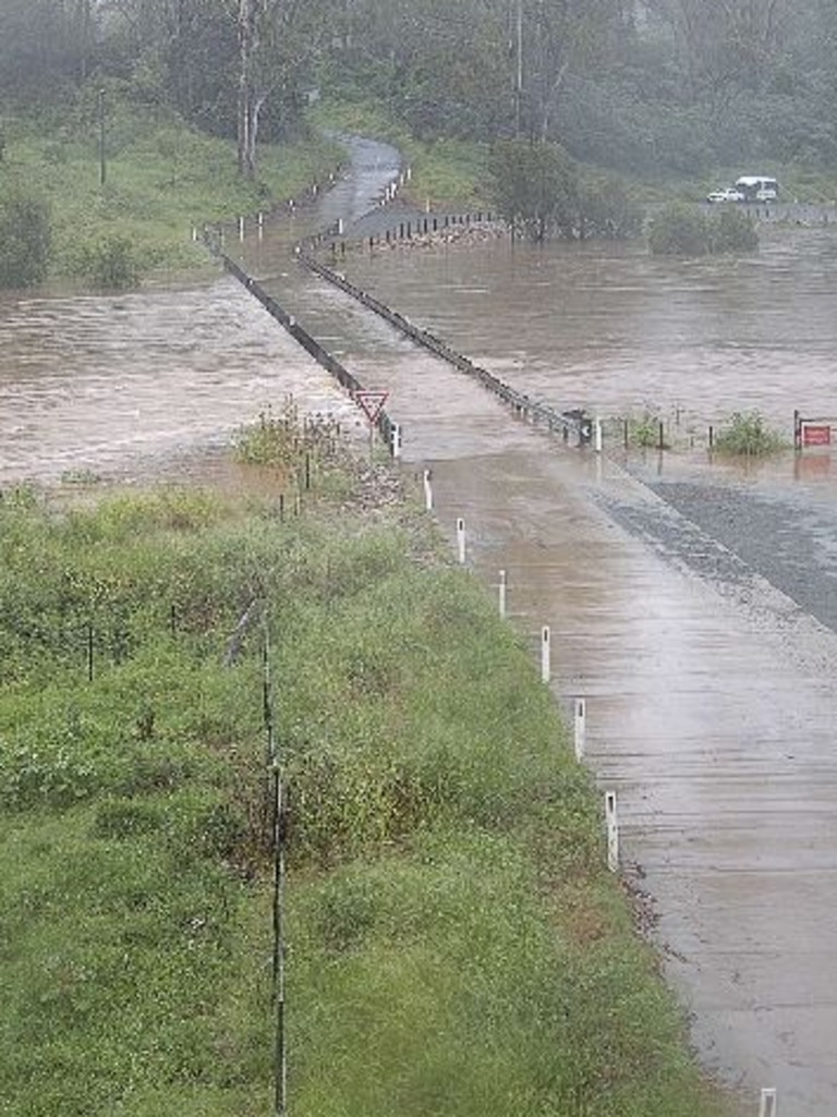
Scores of roads across the region have been cut by floodwater as a result of the flash flooding, including the westbound lanes of Gympie Rd at Bald Hills, near the intersection of Strathpine Rd.
Multiple dams are releasing water under controlled circumstances, with North Pine Dam and Somerset Dam among them.
Seqwater issued an update that flood releases would begin from South East Queensland’s largest dam at noon.
Wivenhoe Dam has begun operational releases, with the dam sitting at 84.8 per cent capacity as of 9am.
Seqwater said local catchment flows and dam releases will result in the closure of Savages Crossing and Twin Bridges near Fernvale and Colleges Crossing at Chuwar.
The last time releases from Wivenhoe occurred was in October 2022 in order to provide additional flood mitigation storage for the 2022-23 summer season.
At that time the water storage was at 90 per cent.
Wivenhoe Dam’s water releases flow into the Brisbane River.
Early on Tuesday, Enoggera dam was 125 per cent full and Gold Creek dam was 146.5 per cent full.
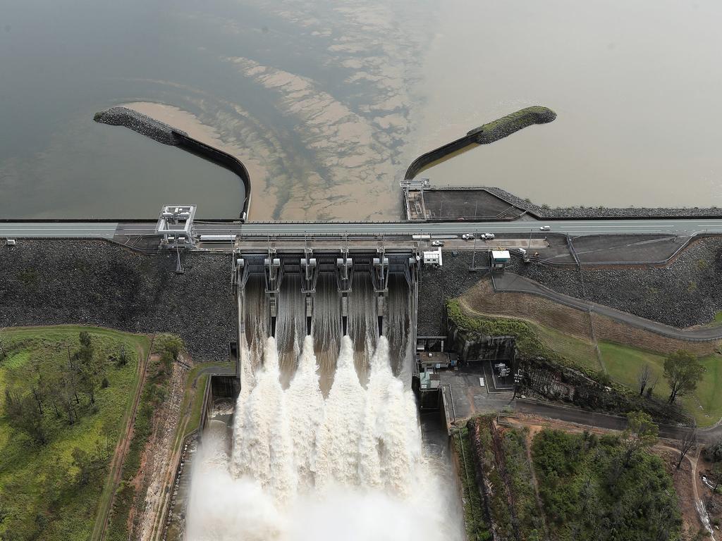
An SEQ Water spokesperson confirmed small flood releases from Wivenhoe would continue throughout the week.
“During periods of heavy rain, Wivenhoe Dam is designed to hold back close to two million megalitres (ML) on top of its water supply storage capacity.
“It can temporarily store flood waters for a period of time and release these waters at a controlled rate to mitigate impacts downstream.”
Somerset Dam flood releases into Wivenhoe are planned to continue over the next day and could be extended depending on further rainfall.
The North Pine Dam across North Pine River was released at midnight.
An SEQ Water spokesman said the North Pine Dam release, combined with river and creek flows downstream of the dam, were likely to cause water over Youngs Crossing.
“Operational releases from Somerset Dam, which flow into Wivenhoe Dam are continuing,” a spokesman said.
“These releases may cause the lake level in Wivenhoe to rise by more than 0.5 metres in the next two to three days.
A spokesman said flood releases from Wivenhoe Dam were not expected as yet but depended on the amount of rainfall the dam received.
⛈ï¸Thunderstorm FORECAST for TODAY (17/12): Severe thunderstorms with heavy rainfall are possible in southeastern and central eastern parts of Queensland.
— Bureau of Meteorology, Queensland (@BOM_Qld) December 16, 2024
Storms are possible across eastern and northern Queensland.
Warnings as needed: https://t.co/QD2Lv69dZWpic.twitter.com/uD9eScilwt
Deputy Premier Jarrod Bleijie said the government was concerned about people and property amid a soaking wet early summer.
“But I think what we have to do at the moment is rely on the experts giving the warnings,” he said.
“Queenslanders are resilient people. They’ll deal with it as it happens, and we’re getting the appropriate briefings over the summer period.”The Bureau’s Stephen Stefanac said moderate to locally heavy rainfall would continue over the coming days along the state’s coastline and ranges, before tracking north later this week.
However, while there are dryer conditions and sunshine on the horizon, the Bureau warns riverine flooding and potential flash flooding could still occur until Thursday in some areas.
“Riverine flooding occurs over a broader area and longer timescale than flash flooding, and is also not out of the question for the coming days, as we’re currently seeing in the Mary River near Hervey Bay, but this will depend on the rainfall being less localised and spreading more widely across the catchment areas along the coast and across the north,” Mr Stefanac said.
“Saturated soil conditions tend to increase the risk of flash and riverine flooding as there’s less capacity for the rainfall to be absorbed by the soil, thus increasing the run-off that leads to the flooding.”
By Thursday, South East Queensland is expected to see a return to more settled and mostly dry conditions as the threat of heavy rainfall shifts to central areas of the state and across the north.
Local councils are urging residents to remain vigilant and prepared this week ahead of more possible heavy falls.
Brisbane City Council said more than 87,000 sandbags were available across the Council’s five depots with almost 2500 free sandbags collected by residents since Monday morning.
Logan City Mayor Jon Raven echoed the need for preparedness and said he would be on call for the entire Christmas period.
“City of Logan staff have spent this year preparing for weather events and disasters on behalf of our residents, businesses and community,” he said.
“As we saw over Christmas last year, storms can hit at any time.”
The Bureau of Meteorology’s Angus Hines said South East Queensland had seen the highest rain accumulations across the country overnight, during the 12 hours leading up to 6.30am on Tuesday.
Mr Hines said South East Queensland faced a high risk of severe thunderstorms on Tuesday.
“(There is) a risk of severe thunderstorms, potentially bringing damaging winds, large hail or heavy rainfall about the central and southern ranges and parts of the Illawarra during this afternoon and evening,” Mr Hines said.
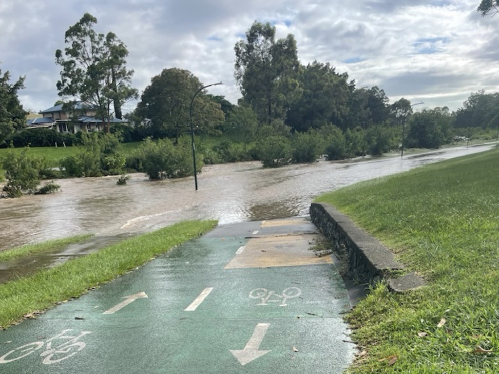
“Showers and storms are expected across eastern Queensland, impacting widespread areas with rain south of Mackay.
“There is a risk of severe thunderstorms bringing locally heavy falls that could lead to flash flooding in between Yeppoon and Brisbane.”
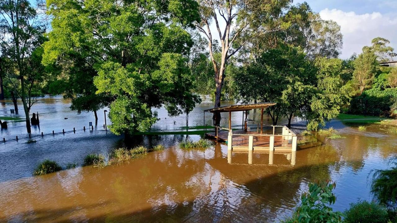
The heaviest rainfall totals in Queensland on Tuesday were expected to be south of Mackay down to Brisbane.
“A moderate flood warning for the Mary River downstream of Gympie and a minor flood warning for the Brisbane River to Wivenhoe Dam,” Mr Hines said.
Mr Hines said low pressure off the central Queensland coast, near Mackay, was causing the wet weather in the southeast.
“As well as a coastal trough that is bringing a very moist and unstable flow to the Queensland coast,” he said.
With Christmas Eve just a week away, the Bureau’s current forecast will have SEQ residents breathing a sigh of relief, with heavy rainfall not on the cards at this stage.
“At this stage, the threat of moderate to heavy rainfall shifts to the far north of the Cape by Christmas Eve and Christmas Day, bringing mostly dry conditions to much of the state, though some isolated showers and thunderstorms may linger,” Mr Stefanac said.
RAINFALL TOTALS
Since 9am Monday
Cedar Creek – 141mm
Delaneys Creek – 132mm
Kallangur – 129mm
Hervey Bay – 119mm
North Pine Dam – 107mm
Murrumba Downs – 106mm
Mount Mee – 100mm
Biggenden – 100mm
FLOOD WARNINGS
Moderate Flood Warning for the Mary River
Initial Minor Flood Warning for the Burrum River and Initial Flood Warning for the Cherwell, Isis, Gregory, and Elliott Rivers Catchments
Initial Minor Flood Warning for the Upper Brisbane River
Minor Flood Warning for the Boyne River and Flood Warning for the Barker Creek
Minor Flood Warning for the Paroo River (QLD)
Minor Flood Warning for the Warrego River (QLD)
Final Flood Warning for the lower Barcoo River
Final Flood Warning for the Lower Condamine River
DAM RELEASES
Due to recent rain in the catchment area, the following un-gated dams are spilling excess water:
Cooloolabin Dam
Moogerah Dam
Nindooinbah Dam
Due to continued rain in the catchment area, outflows have increased from the following dams:
Baroon Pocket Dam
Borumba Dam
Cedar Pocket Dam
Enoggera Dam
Ewen Maddock Dam
Gold Creek Dam
Hinze Dam
Lake Macdonald
Lake Manchester
Leslie Harrison Dam
Little Nerang Dam
Maroon Dam
Sideling Creek Dam
Wappa Dam
Wyaralong Dam
BRISBANE AND MORETON BAY ROAD CLOSURES
Nudgee Road Banyo
outside 920 Nudgee Road
Grandview Road Pullenvale
Between Lancing St and Pullenvale Rd
Levitt Road Upper Kedron
Cedar Creek
Gap Creek Road Kenmore Hills / Mount Coot-Tha
Between Kookaburra St and Highwood Rd
Witton Road Indooroopilly
at Witton creek near Kate St
Lancing Street Pullenvale
Between Grandview Rd and O’Brien Rd
Molle Road Ransome
at Overland Creek between Chelsea Rd and New Cleveland Rd
Bowman Parade Bardon
at Ithaca Creek between Cecil Rd and Stephenson St
Illaweena Street Drewvale / Stretton
between Gowan Rd and Hashim Place at Karawatha Reserve
Radley Street (Saltash Street) Virginia
Road Flooded
Paradise Road Larapinta / Willawong
between Radius Dr and Gardens Dr
Boscombe Road Brookfield
between Brookfield Rd and Rafting Ground Rd


