
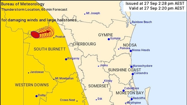
Warnings of large hailstones and damaging winds in South Burnett
Supercell storms bringing possible golf ball-sized hail could smash parts of Queensland again today, just 24 hours after fierce storms wreaked havoc.
South Burnett
Don't miss out on the headlines from South Burnett. Followed categories will be added to My News.
Supercell storms bringing possible golf ball-sized hail could smash parts of Queensland again today, just 24 hours after fierce storms wreaked havoc.
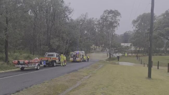
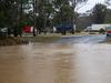
Thousands were left without power when severe thunderstorms brought large hailstones, strong winds and heavy rain to much of the state’s south on Tuesday.
Those storms saw almost 3000 customers without power at 7.15pm, with more than 1200 still without power at 11.30pm.
The Bureau of Meteorology has warned dangerous storms would resurface on Wednesday bringing possible giant hail.
“A rain band will focus over southern NSW and eastern Queensland by Wednesday morning, while showers and storms are likely to redevelop over large swathes of eastern Australia,” Sky News meteorologist Alison Osborne said.
“This cold air sitting over NSW on Wednesday will destabilise the atmosphere, making the environment very favourable once more for significant storm activity.
“The rain forecast shows a subsequent low pressure system just pushing off the NSW coast. The cold front associated with that low will lead to further shower and storm activity during Wednesday.
“There is a risk of supercells, the most dangerous kind of severe storm, which can bring giant hailstones over 5cm, that’s a golf ball, heavy rainfall, which can lead to some flash flooding with intense rainfall rates, and then also damaging wind gusts.”
Forecaster Brooke Pagel said Queensland could expect similar conditions again on Wednesday, but said the impacted locations had “shifted slightly.”
“What we have is more of a horseshoe shape for the areas expecting rainfall today, so places along the border like Goondiwindi will most likely miss out, but it will be most of the coast from the Gold Coast and curve in around the Charters Towers area,” she said.
Earlier, the Bureau of Meteorology has warned South Burnett residents of severe thunderstorms detected near Boondooma.
The warning was issued at 2.20pm on Tuesday.
“West of Warwick and Lake Boondooma will be impacted at 3.20pm,” the BoM said.
Queensland Fire and Emergency services advised that people move their cars under cover or away from trees as damaging winds and large hailstones are likely to occur.
Locals were also advised to secure loose outdoor objects, seek shelter, beware of fallen trees and powerlines and call SES on 132 500 for emergency assistance.


Keith Pitt made Ambassador to the Holy See in shock announcement
Outgoing Federal MP for Hinkler Keith Pitt announced he would exit politics late last year citing “frustration” and policy disagreements, and hinted at the time that an undisclosed new job opportunity was among the reasons for his decision. Now we know what that was.
Read more
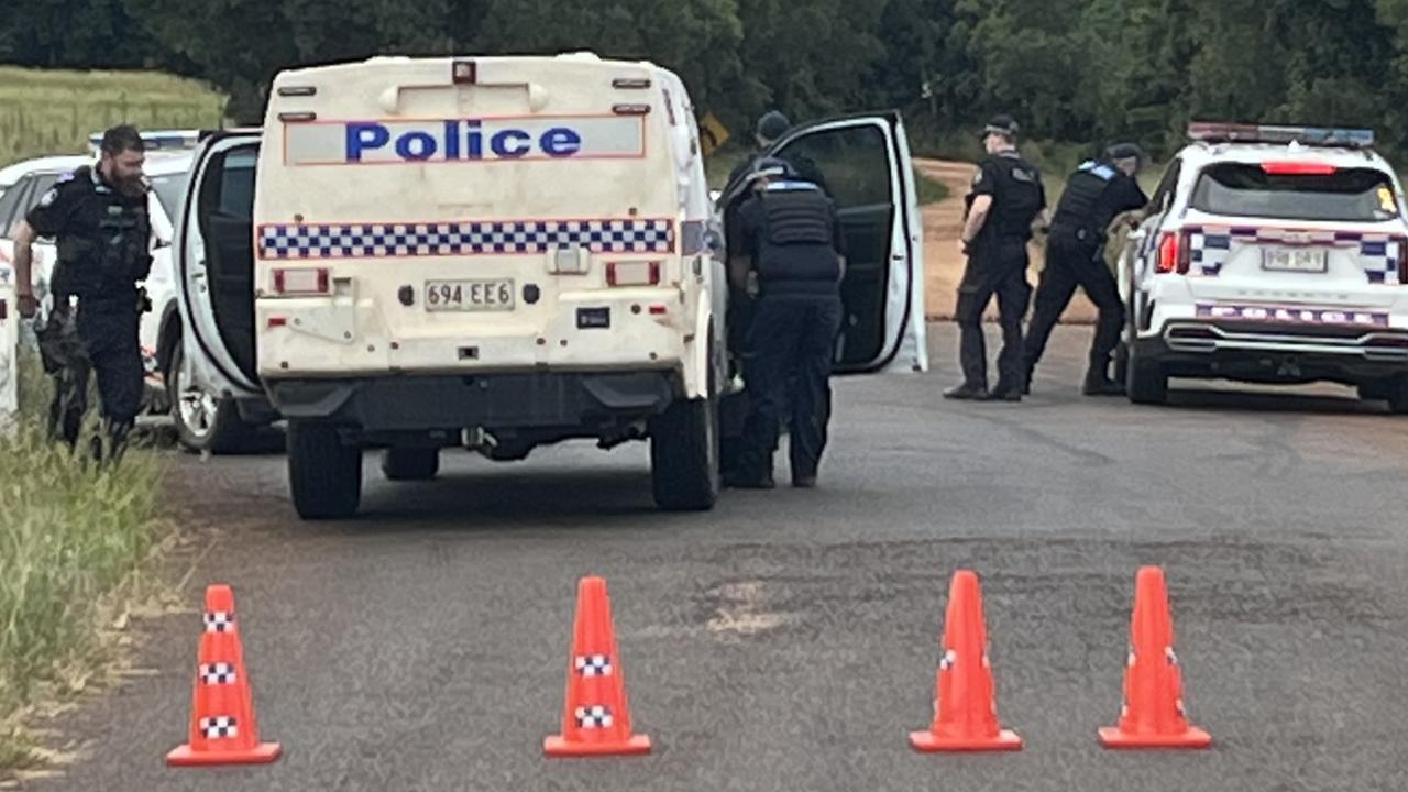
‘Heard gunshots, then sirens’: Mystery deepens after property lockdown
Neighbours have described what they heard before police swarmed a rural Qld property and eerie recent history has emerged despite limited information coming from authorities. LATEST.
Read more