‘400mm coming’: Flash flooding, cars swallowed in NQ deluge
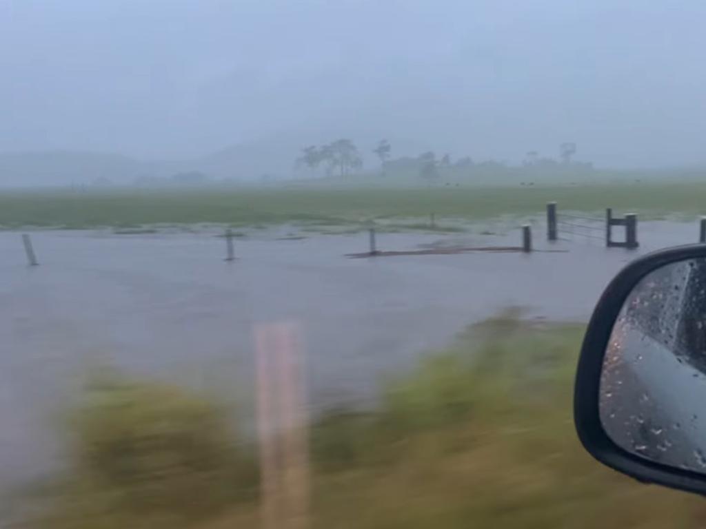
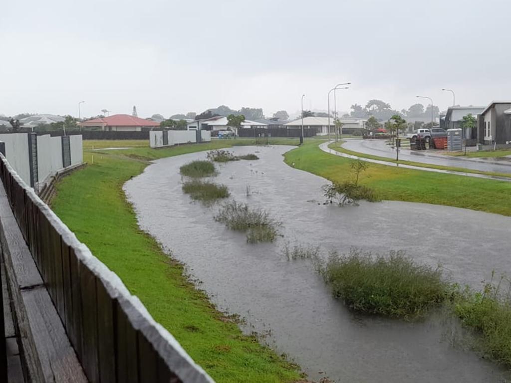
A month’s worth of rain is set to pummel a 700km stretch of north Queensland coastline as heavy rain slams the region, causing flash flooding and mass chaos. It comes as police issued a wider warning for hazardous roads.
A month’s worth of rain is set to pummel a 700km stretch of Queensland coastline as heavy rain slams the region, causing flash flooding and mass chaos.
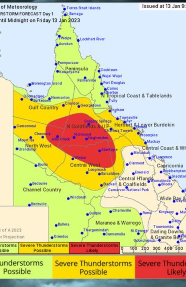
Weather experts have warned North Queensland is facing more flash flooding on Friday and into the weekend and some parts could have 400mm of rain over the next week.
“It’s going to be a very intense weekend of rain,” Sky News Weather meteorologist Alison Osborne said.
“January 2023 could shape up to be the wettest single month for pockets of the Queensland coast since February 2021.”
The deluge is expected to be the most intense in a 700km line from north of Cairns to south of Mackay.
“This is due to a building rain and storm event which will focus over coastal and inland areas north of about Rockhampton right the way through and into next week,” Ms Osborne said.
“In many areas, this will constitute a month’s worth of rain falling in just a week,” she said. On Saturday, Townsville could register 100mm of rain – and not far off that on Sunday.
The Bureau of Meteorology said Mackay could expect heavy rain again on Friday, 10 to 60mm of rain on Saturday, 3 to 60mm of rain on Sunday, 4 to 50mm on Monday and 1 to 35mm on Tuesday.
Some of the heaviest rainfall in the 21 hours until 6.30am on Friday included Rowallan Park and Black Mountain (Farleigh) with 227mm, McCreadys Creek with 202mm, Walkerston with 164mm, Mt Pleasant with more than 135mm, while South Mackay recorded 112mm and Mackay stations ranged from 96mm to more than 116mm.
Brisbane will be spared the washout with barely any drops of rain over the weekend.
Overnight, Queensland Fire and Emergency Services said heavy rainfall and flash flooding was impacting the Mackay area, particularly in the northern suburbs.
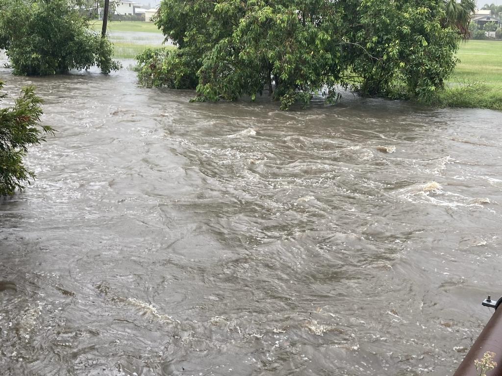
“Now is NOT the time to be on the road. Multiple roads are already flooded, including some that aren’t usually affected by rain.
“As we move into the evening it will be incredibly difficult to see water on the road or assess the depth of it.
“No matter what you drive, don’t drive through floodwater. Seek other routes or delay your travel.”

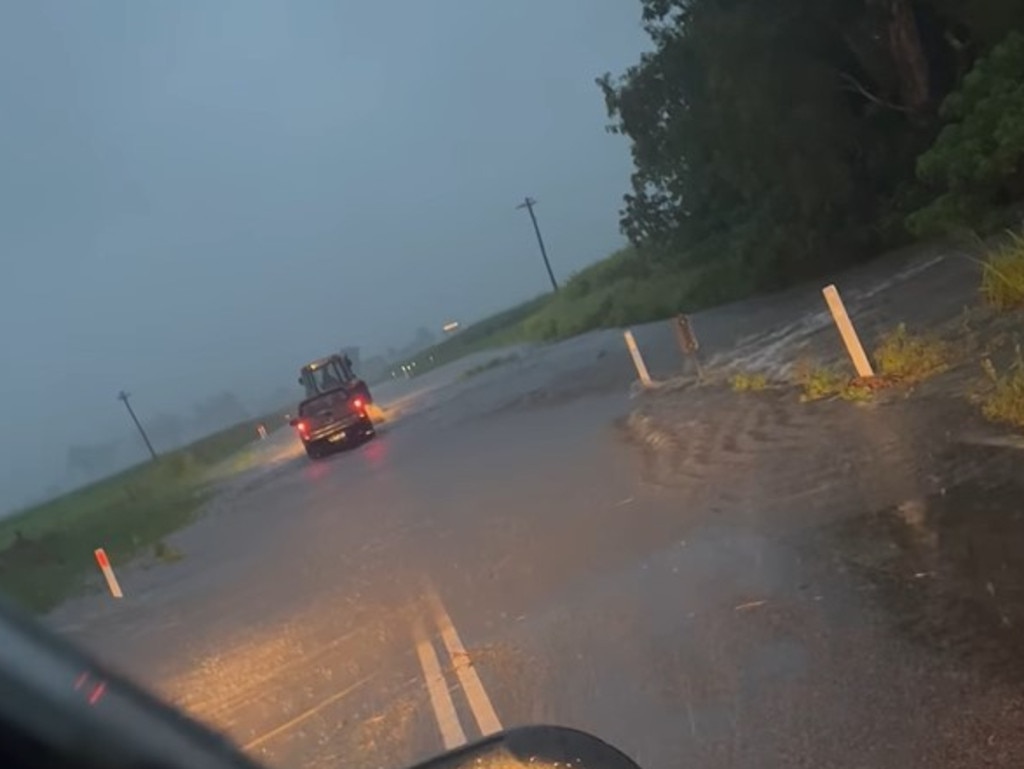
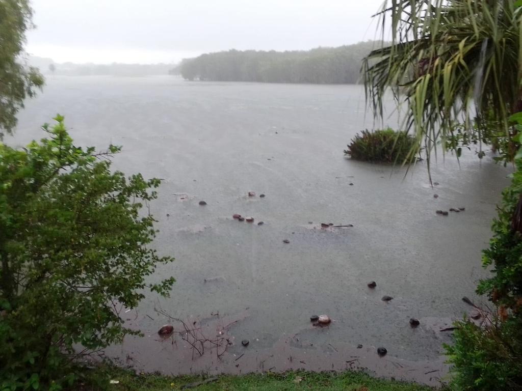
Police issued a wider warning for the north Queensland area, including Longreach, Barcoo, Winton, Blackall-Tambo and Barcaldine Shires, urging motorists to stay off flooded roads.
“Trying to navigate these hazards, either in vehicles or on foot, can be treacherous, as water levels rise and fall quickly, and very often with little or no warning.
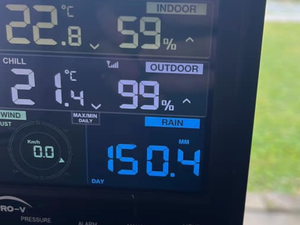
“Emergency services are struggling to comprehend why some motorists ignore the notice signs and warnings that are erected on flooded roads.”
“Police would like to remind the community, it is not only a risk to drivers and their passengers, it also poses risk to our emergency services who assist in these incidents.
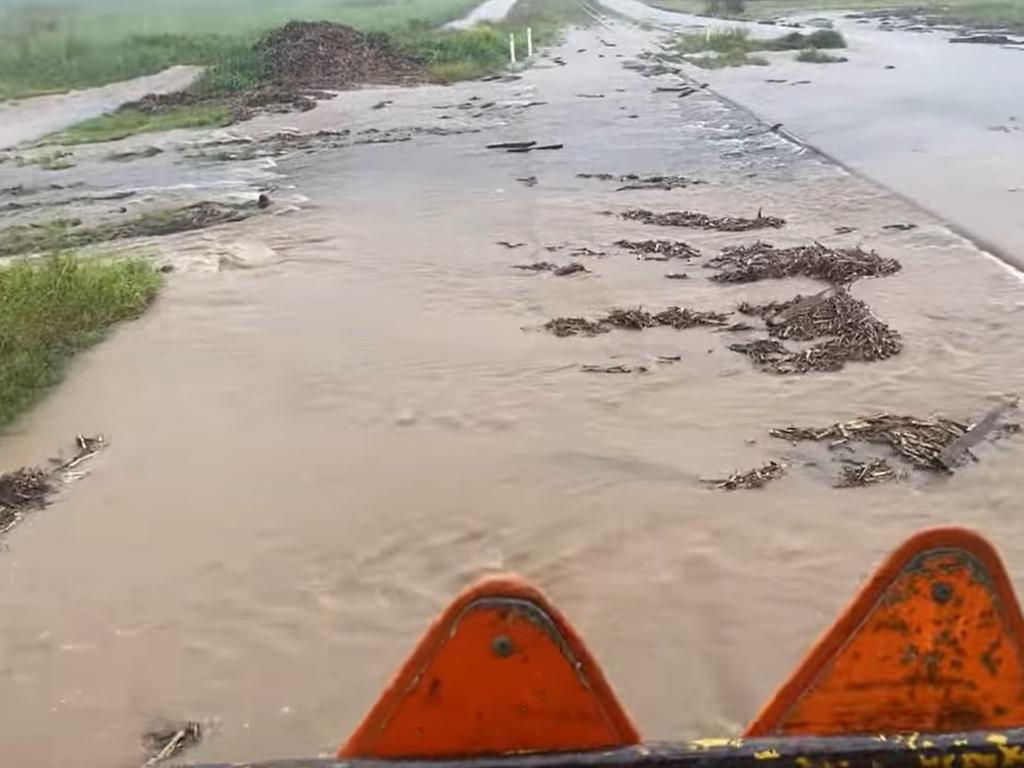
“Flood waters can tear away the road surface and result in the surface of the road being much more dangerous than you know.
“ Dirt roads throughout the Shires are hazardous to drive on when wet and can disable a vehicle by bogging. A vehicle’s power can cut out in water, disabling electric powered windows and locks making a flooded vehicle near impossible to escape.”
They warned motorists faced fines of more than $550 for entering flooded roads or crossing road closed signs.
Earlier, photos of flash flooding in North Queensland began circulating as remnants of Cyclone Ellie hit the region.
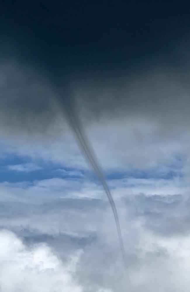

This includes in the Whitsundays where two people shared photographs of waterspouts forming offshore.
Extra SES volunteers were on standby in Mackay.
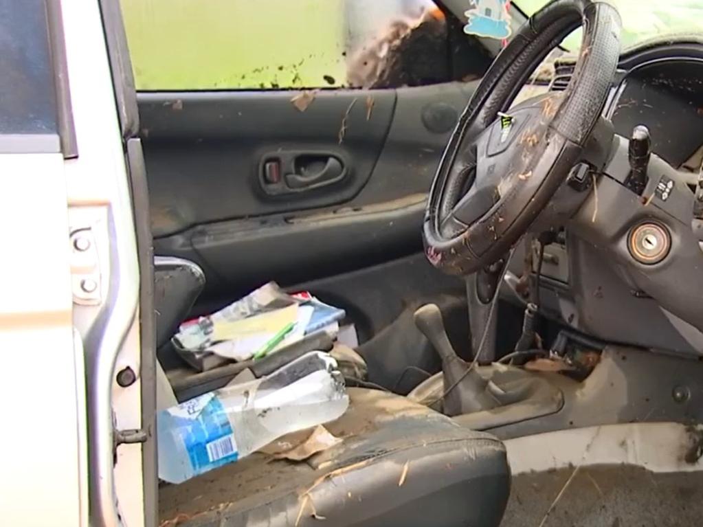
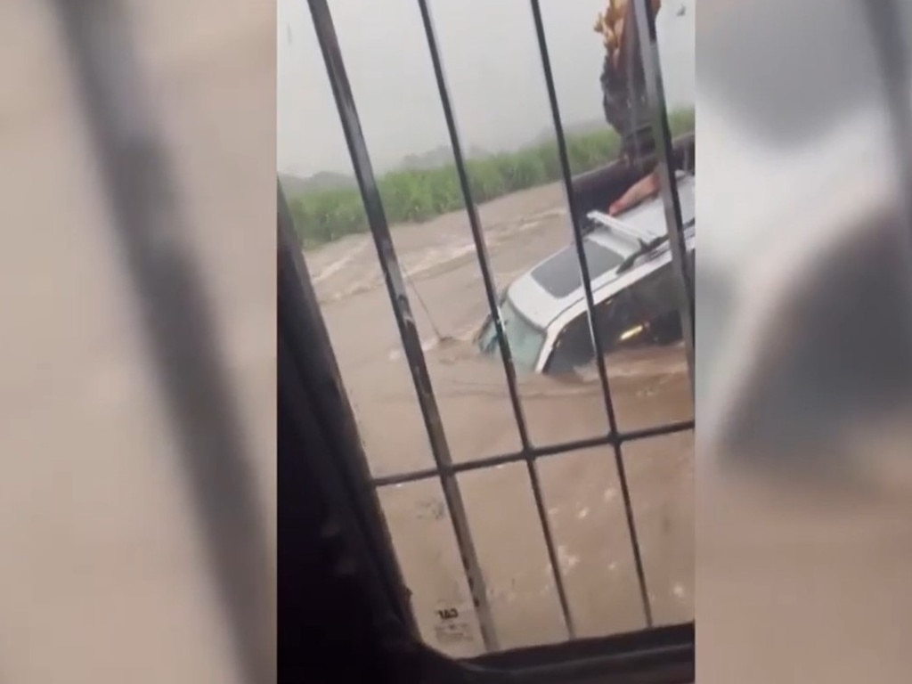
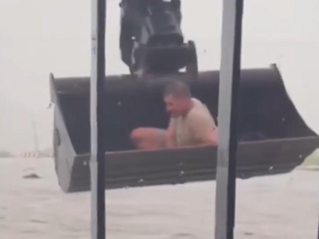
It comes after two drivers were rescued in separate incidents on Wednesday night, one involving a good Samaritan with an excavator bucket, following rainfalls up to 220mm.
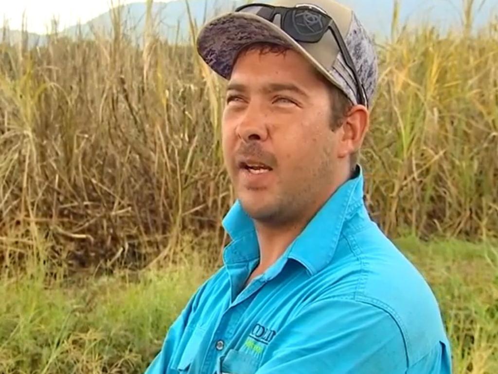
SES local controller Alex McPhee said they had prepared a group on standby ahead of Thursday night’s expected deluge for “preventive measures”.
Bureau of Meteorology senior meteorologist Harry Clark saying it was certain the Mackay region would experience further flash flooding into Thursday night.
“(On Wednesday night), there was heavy rainfall across the Mackay area, the heaviest falls were to the south,” Mr Clark said.
“Fenners Rd, the gauge had 220mm in the 24 hours to 9am this morning.”
Homebush received 173mm, Munburra Rd 166mm, Mackay Airport 116mm, and the Mackay CBD 93mm.
“A lot of that fell in a three to four hour period where it was quite heavy … obviously that led to some flash flooding,” Mr Clark said.
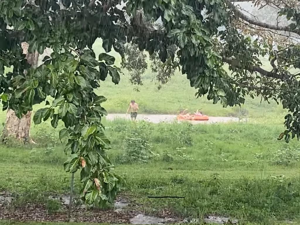
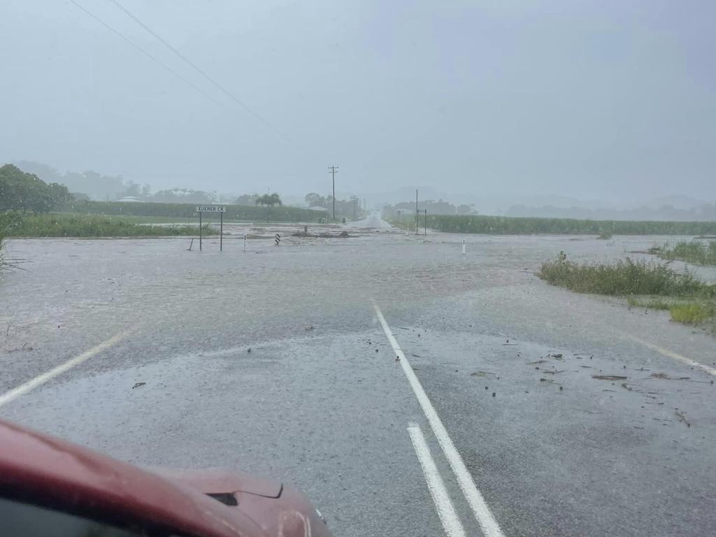
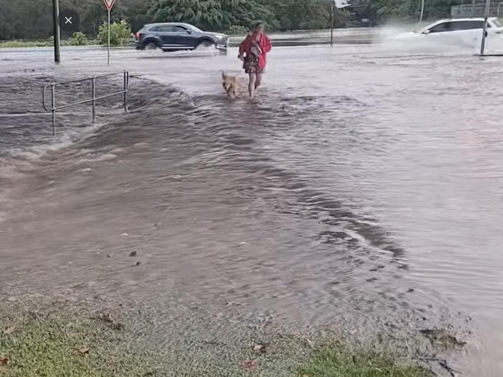
“It is a very similar forecast for (Thursday).
“Once again, towards the end of today, we could see heavy falls develop around the region.”
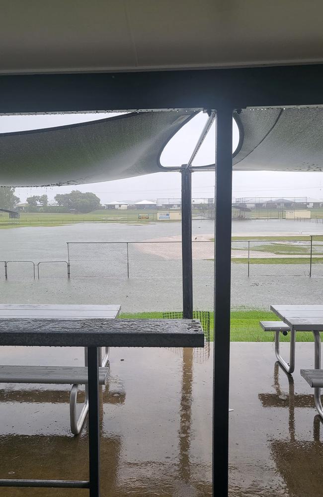
Photos are already emerging from harried residents warning each other to avoid certain roads and areas.
Charlotte Ford shared the photograph of Kerrisdale Estate in Beaconsfield to Mackay Noticeboard on Facebook, saying low-set cars would not be able to enter.
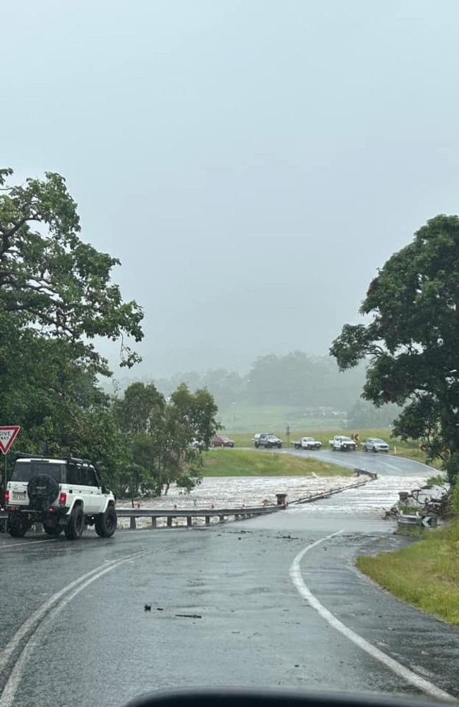
Comments on Ms Ford’s post said there was similar flooding on Keeleys Road and out at Farleigh, where a picture by Facebook user Tim Tam shows flooded cane fields.
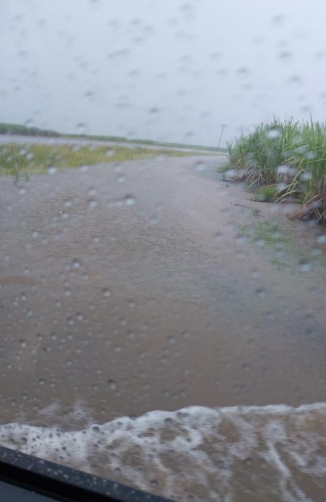
Mr Clark said the “indiscriminate” downpours would continue for the next few days towards Monday and Tuesday, with the system resulting from former Tropical Cyclone Ellie impacting the coast from Townsville down to Longreach.
“In layman’s terms, a really moist air mass is in place across Queensland.”
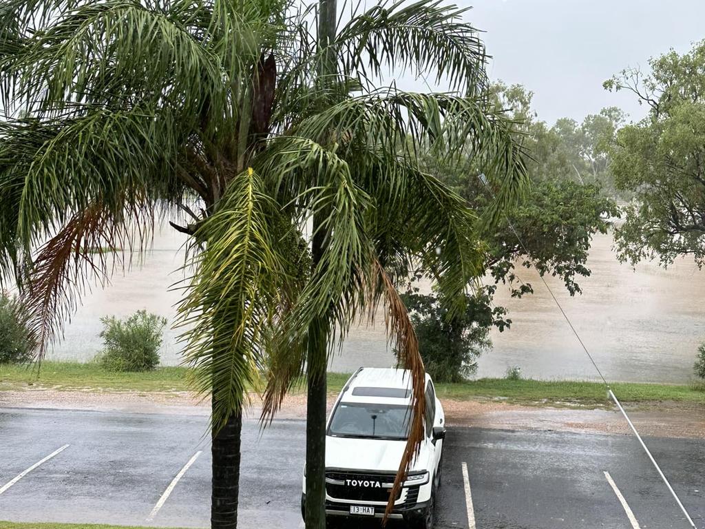
Residents across Mackay Whitsunday Isaac should keep their umbrellas on standby and settle in for indoor activities as even when it’s not raining over the next few days, the weather will be “very humid”, “particularly for areas St Lawrence north”.
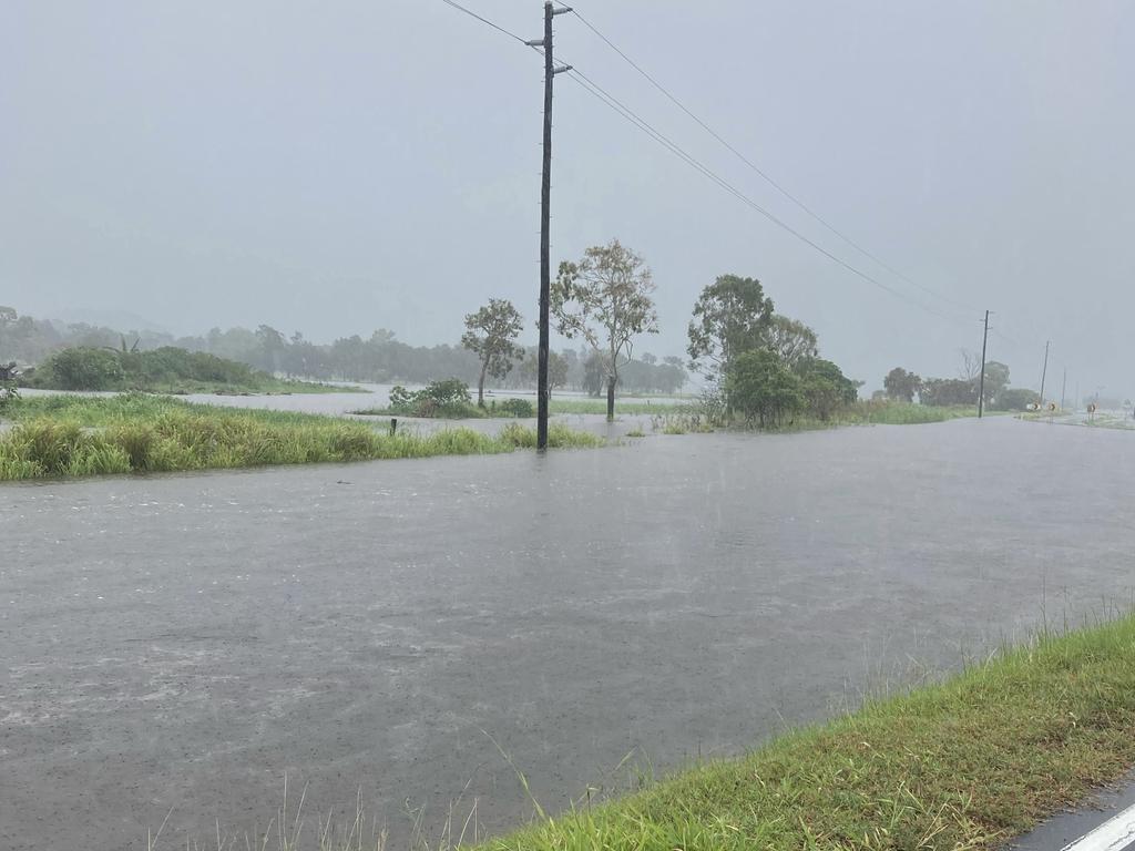
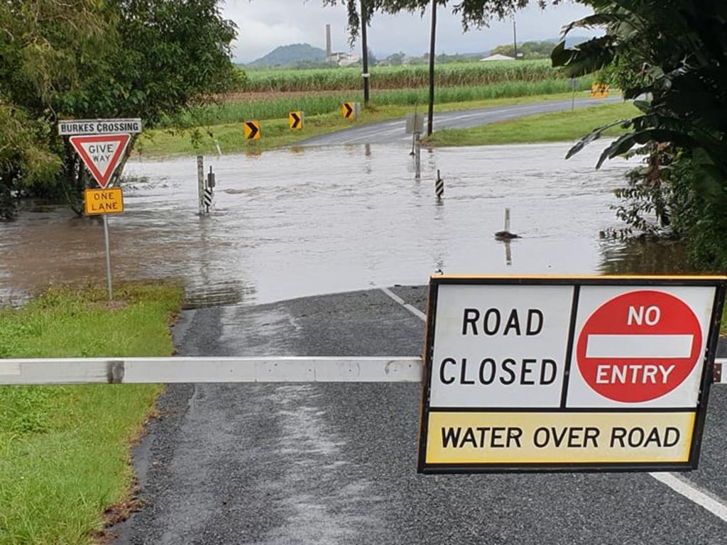
Mr Clark said the BOM encouraged residents to stay out of floodwaters, keep an eye on the radars, and listen out for emergency broadcasts should there by any.
He said they would issue a warning if the Pioneer River or other large systems were to flood but primarily the rainfalls would affect local creeks.
To access the Emergency Dashboard for the Mackay region, which gives you the latest information on road closures, rainfalls, and flooding, visit disaster.mackay.qld.gov.au
For the Isaac region, visit dashboard.isaac.qld.gov.au
And for the Whitsundays, visit disaster.whitsundayrc.qld.gov.au
More Coverage
Read related topics:Weather


