Kidd Bridge cut as Mary River rises following days of rain
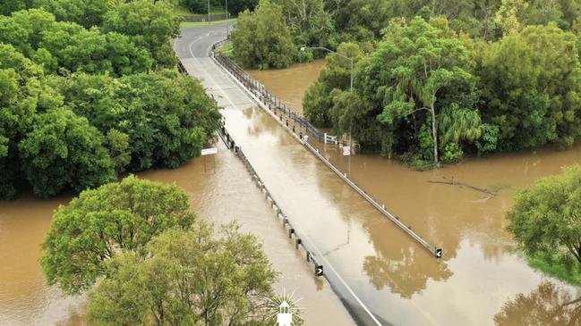
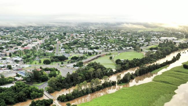
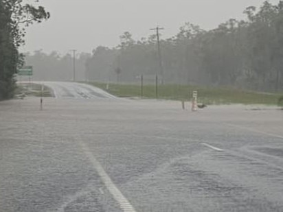
Gympie’s Kidd Bridge was cut by floodwaters late Tuesday night as the Mary River continued to rise following days of rain across the region. VIDEO, PHOTOS
Gympie
Don't miss out on the headlines from Gympie. Followed categories will be added to My News.
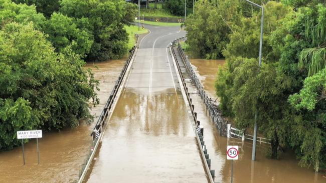
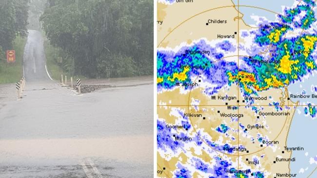
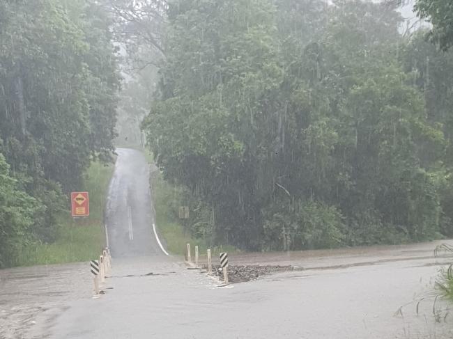
Gympie’s Kidd Bridge was cut by floodwaters late Tuesday night as the Mary River continued to rise following days of rain across the region.
Early morning drivers were forced to head south to the Normanby Bridge to get into Gympie on Wednesday as the river rose to 10m, submerging the city’s second bridge.
It is unknown when Kidd Bridge will reopen.
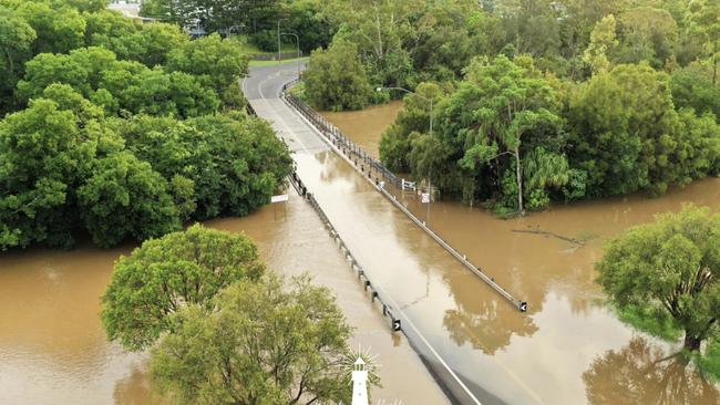
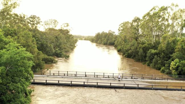
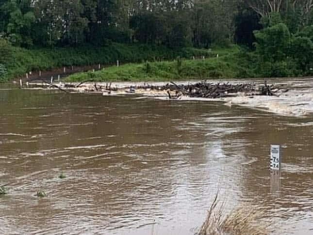
Extraordinary images of the minor to moderate flooding in the river were captured by Gympie-based Infinity Flights Photography as numerous other roads the crossings across the Mary Valley, Glenwood and South Burnett remained cut, including Emerys Bridge Rd at Tiaro.
River levels at Tiaro, at 8.79m by midday Wednesday, were expected to continue to rise, with levels expected to reach about 10.4m overnight and into Thursday morning with further rises possible.
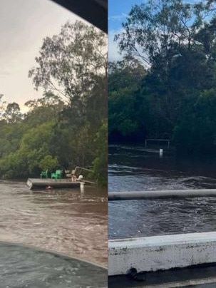
A person lost in flood water near Duckinwilla was found safe on Tuesday after wild weather and torrential rainfall lashed the Wide Bay Burnett, and another two people were lucky to escape getting trapped in floodwaters near Gympie on Tuesday night.
Swiftwater crews braved raging water at Duckinwilla Rd near Howard trying to locate an individual after a call was made to Queensland Fire and Rescue about 1:50pm on Monday.
A police spokesman on Tuesday confirmed the person had been located safely.
By Wednesday afternoon, possible severe storms were being predicted for the region, though the rainfall was expected to stop. Queensland was on track for its wettest December in 14 years, and Gympie had recorded its wettest November in almost eight decades.
Earlier:
On Monday, the Bureau of Meteorology issued a moderate flood warning for the Mary River downstream of Gympie as heavy rain fell across the Wide Bay Burnett, sparking flash flooding and causing the Paradise Dam at Bundaberg to spill.
The warning said minor flooding was possible along the length of the Mary River, including at Gympie, Miva, Dagun Pocket and Tiaro, with moderate flooding possible at Tiaro on Tuesday night.
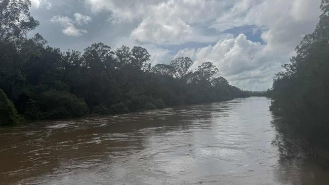
The warning will be updated regularly, with more rain expected across the region on Tuesday and Wednesday due to a low set to form below Rockhampton.
The BOM recorded up to 60mm in the Mary River catchment area between 9am Sunday and 9am Monday.
A similar warning was issued for minor flooding at Howard in the Fraser Coast with levels expected to peak on Monday afternoon.
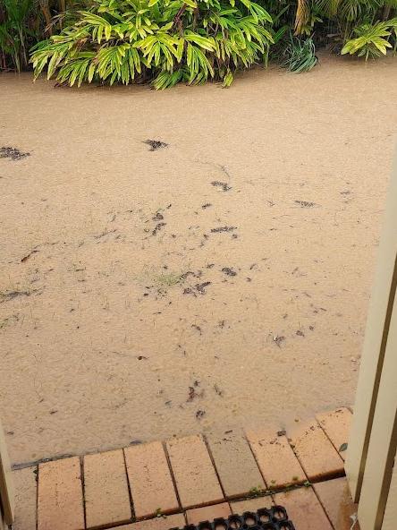
Sixteen roads closed have been shut due to flooding with Boonooroo cut off, and water encroaching on the Maryborough Hervey Bay Rd and risking its closure.
Bureau watching potential tropical low
Up to 50mm of rainfall was recorded across the Burrum and Cherwell catchments.
The totals added to what was an already wet November and December with Bureau figures showing more than 425mm of rain since the start of the period.
This included 257mm in November, and 168mm in the first half of December 2024.
More than 200mm fell in the Fraser Coast in the same time, while Bundaberg recorded 166mm of rainfall and the South Burnett 144mm.
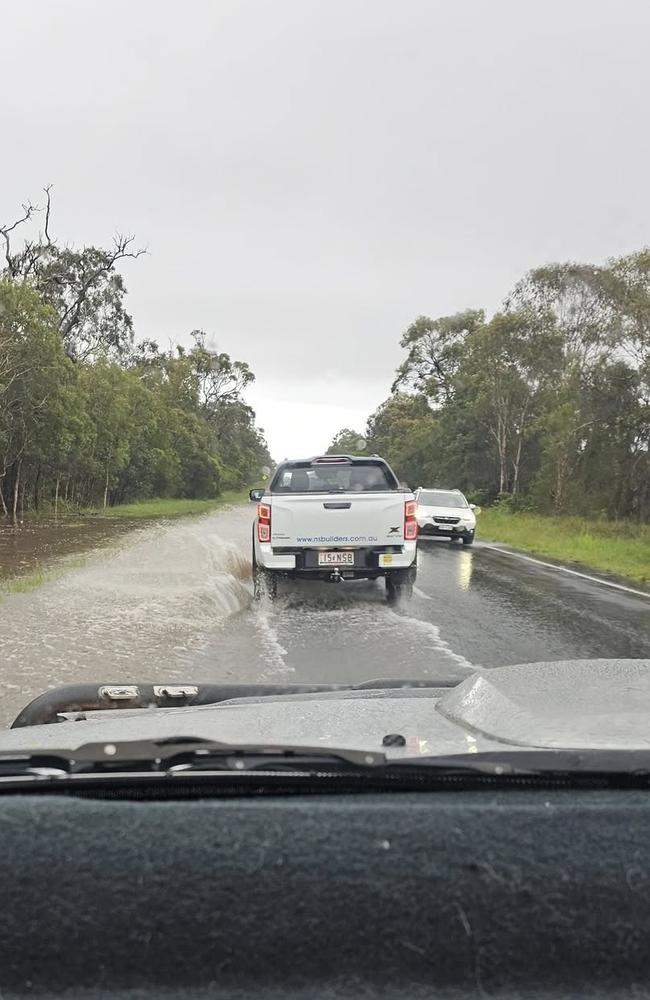
The continued wet weather caused minor flooding at Goomeri on Friday night and Saturday morning.
On Sunday, SunWater issued a warning the Paradise Dam was spilling excess water into the Burnett River, although none of the downstream rivers were expected to break their banks.
In the Gympie region, Cedar Pocket Dam was at 113 per cent capacity and spilling, as was Lake MacDonald (106 per cent capacity), Baroon Pocket Dam (102 per cent) and Borumba Dam (101.8 per cent) as of shortly before midday.
Another 2-20mm is forecast for Gympie on Tuesday and 2-25mm on Wednesday, while at Bundaberg between 5-35mm was expected at Bundaberg on Tuesday and 3-25mm on Wednesday.
Up to 25mm was expected on each of Tuesday and Wednesday at Maryborough and Hervey Bay.
Storms were possible across all three regions, the Bureau said.


