Supercell alert: Brisbane under assault as very dangerous storm dumps 60mm in an hour
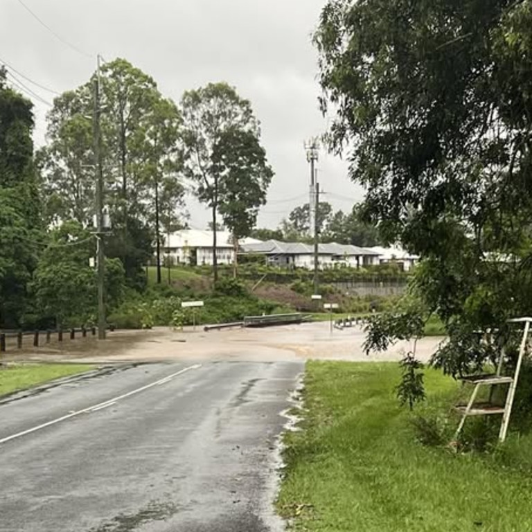
Highways were cut and swiftwater rescues conducted as South East Queensland’s rain emergency continued overnight.
Severe weather has moved north, with thunderstorm warnings issued for Gympie after South East Queensland was smashed with slow-moving storm cells bringing heavy rain and strong winds.
The storms brought 80mm-plus in just one hour for some regions on Wednesday, inundating roads, parks and yards.
Energex recorded more than 84,000 lightning strikes and over the day thousands were left without power.
In the South Burnett, parts of the Burnett and D’Aguilar highways were closed on Wednesday night due to localised flooding between Kingaroy and Cooyar.
A Queensland Fire Department spokeswoman said swiftwater crews conducted two rescues at Merlwood in the South Burnett, and multiple other swiftwater jobs across the southeast.
Two vehicles were trapped in floodwaters on Murgon-Gayndah Rd in Merlwood about 7.40pm.
“One person was trapped in a vehicle and was pulled out of flood waters” the spokeswoman said.
“In the second vehicle two adults and one child were safely moved by swift water crews to higher ground and out of floodwater. All persons have been safely removed from the vehicle.”
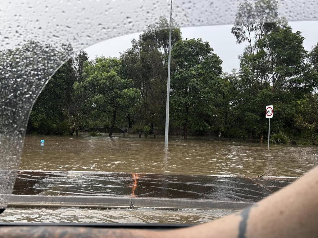
Further south, a man was pulled from floodwaters by passers-by after he became trapped in rising waters in the Lockyer Valley about 5.30pm.
It’s understood a man became trapped on Jones Rd in Withcott.
A Queensland Police spokesman urged motorists to avoid the area, which has since been closed due to flood waters.
Queensland Fire Department crews were on Wednesday night attending multiple powerlines down across the broader Brisbane area and Toowoomba.
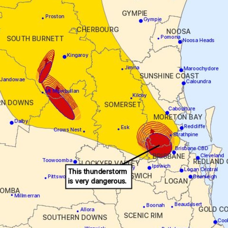
At 6.31pm the Bureau of Meteorology warned a severe thunderstorm likely to produce heavy rainfall that may lead to flash flooding was detected in the Gympie, South Burnett area, near the area northwest of Murgon. This thunderstorm is moving towards the west. It is forecast to affect Proston by 6:55pm.
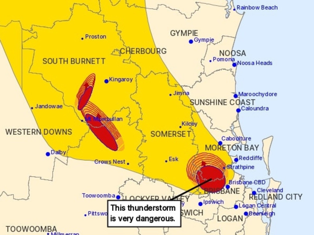
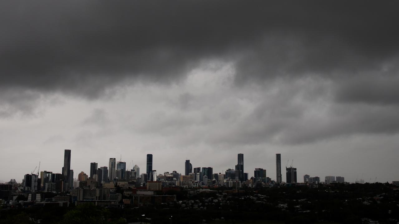
Earlier in the afternoon the bureau had issued a very dangerous thunderstorm warnings for regions around Brisbane, with Lake Samsonvale and Dayboro to be the hardest hit.
Intense rainfall battered the Samford area.
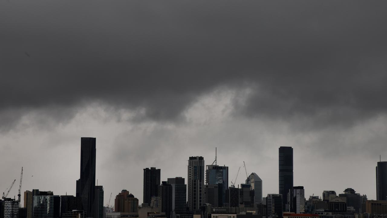
More than 89mm of rain has been recorded at Kobble Creek in an hour, 64mm at Highvale in 30 minutes and 56mm in Toowoomba in an hour as of 4pm.
Other areas including Moodlu, Upper Freestone, Innisplain, Samford Valley and Roamni have over 50mm in the last hour.
Weather forecasters predict Thursday will be clear with strong winds after the southerly change.
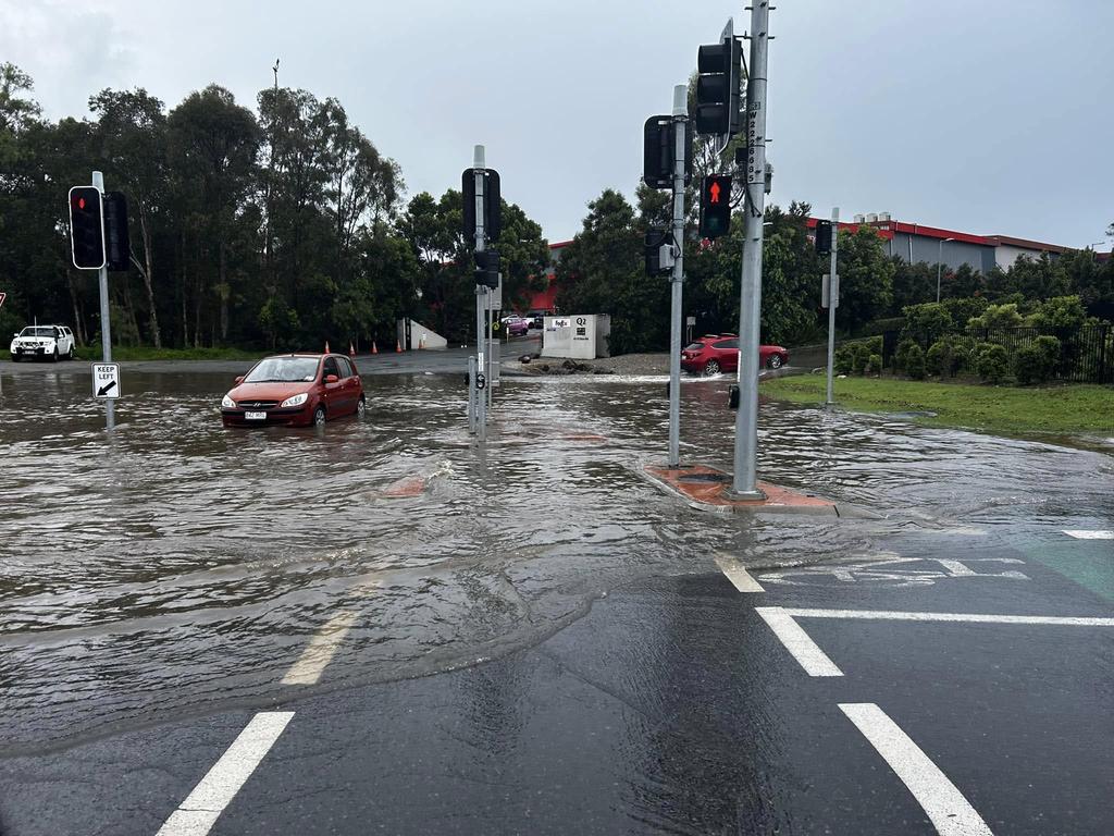
The warnings for areas north of Brisbane comes as flash flooding impacted the Gold Coast, with the region from the NSW border up to South Burnett now on high alert following a 100mm deluge overnight.
More than 50mm has fallen at Bonogin in the Gold Coast hinterland in just an hour while flooding has closed roads at Helensvale, Upper Coomera and Pimpama.
Bureau of Meteorology’s Felim Hanniffy said a line of storms, driven by a southerly change was approaching the coast.
“Once we are behind it, the risk of severe storms diminishes. Now that the change is moving up, it will help consolidate the storms and push them north,” Mr Hanniffy said.
Mr Hanniffy said the storms were being driven by a southerly change that moved through the Gold Coast and before approaching Moreton Bay and Brisbane.
“Line of storms moving over the southeast with the focal point north of Toowoomba to Ipswich and we saw earlier some localised 45mm in Toowoomba in 30 minutes,” he said.
“Over the coming hours it will shift to the Wide Burnett and Sunshine Coast area as that change moves north.”
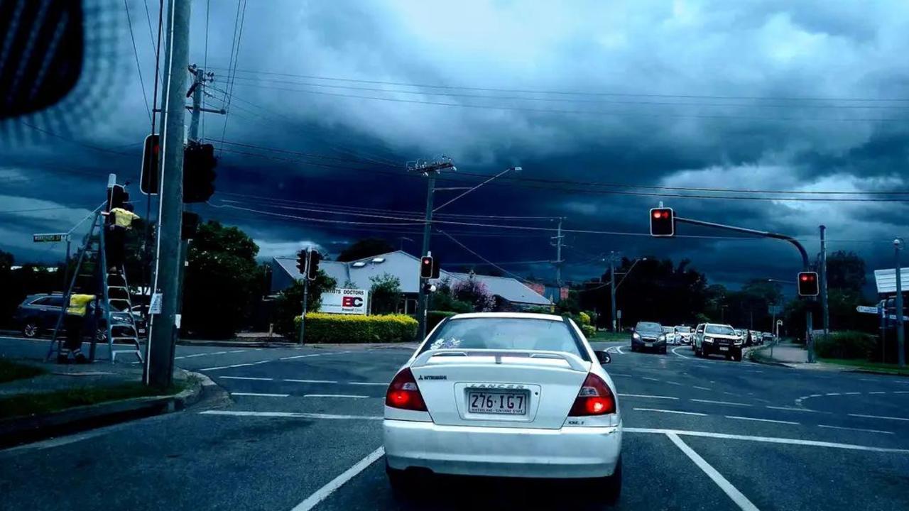
Mr Hanniffy said about 3pm there was lightning around Brisbane and localised falls, with some heavier localised falls on the way.
The Bureau of Meteorology issued a storm warning at 3:25pm, that a very dangerous thunderstorm, likely to produce heavy, locally intense rainfall that may lead to dangerous and life-threatening flash flooding was detected near Samford and Albany Creek.
The alert warned the thunderstorm was slow moving and forecast to affect Lake Manchester, the D’Aguilar Ranges and Lake Samsonvale by 3:55pm, then Strathpine, Aspley and Dayboro by 4:25pm.
Other severe thunderstorms likely to produce heavy rainfall that may lead to flash flooding were detected near Cooyar and the area southwest of Kingaroy.
The Bureau also advised that 56mm of rain was recorded at Toowoomba in one hour and 53mm at Samford Valley in 30 minutes.
They are forecast to affect Hatton Vale by 2.25pm and Nanango by 2.55pm.
The Bureau revealed a series of rainfall totals including 67mm at Moodlu in the one hour to 1.06pm, 54mm at Upper Freestone in the one hour to 1.23pm, 49mm at Romani in the 30 minutes to 1.35pm and 45mm at Toowoomba in the 30 minutes to 1.54pm.
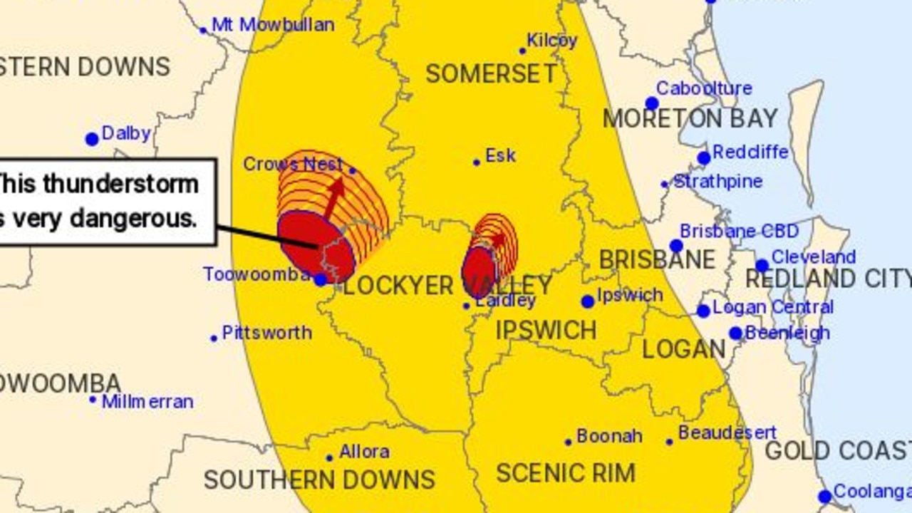
A second warning says people in the Wide Bay and Burnett, Darling Downs and Granite Belt and Southeast Coast are also in the firing line because of a moist and unstable air mass over the southern part of the state.
Thunderstorms are developing over higher terrain and one or two weak troughs and later on Wednesday, a stronger trough and southerly change will move through the area, potentially leading to more widespread thunderstorms with an associated heavy rainfall risk.
Severe thunderstorms are likely to produce heavy rainfall that may lead to flash flooding over the next several hours in parts of the Wide Bay and Burnett, Darling Downs and Granite Belt and Southeast Coast districts.
Locations which may be affected include Warwick, Toowoomba, Ipswich, Oakey, Jimboomba and Mount Tamborine.
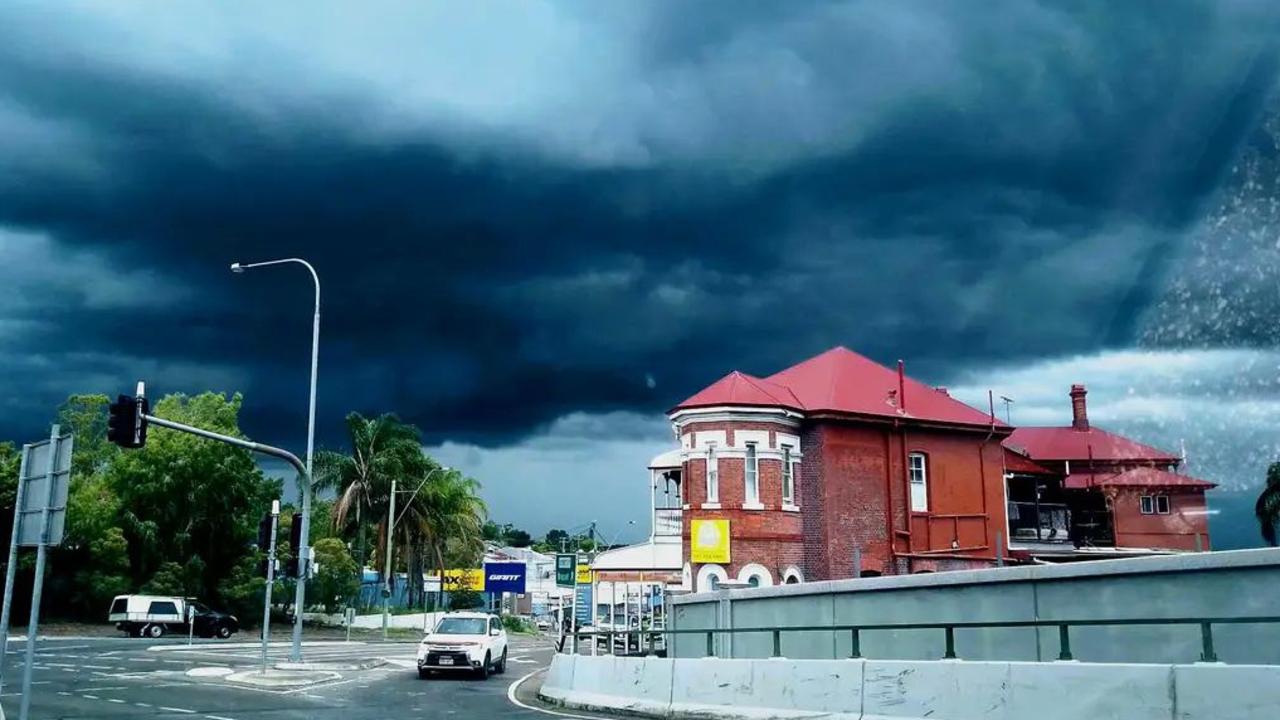
Meanwhile, South East Queensland is sweltering through a tropical heatwave, with 95 per cent humidity on the Sunshine Coast, 97 per cent at Canungra and 85 per cent in Brisbane.
While the rain will continue on Wednesday, experts say the conditions will ease throughout the week and the weekend will see clear, sunny skies around the south east.
Bureau of Meteorology meteorologist Angus Hines said showers and storms could impact anyone in eastern Queensland on Wednesday.
“Most likely from Townsville down to Brisbane, where severe thunderstorms are possible,” Mr Hines said.
Mr Hines said areas of heavy rain could lead to flash flooding or riverine flooding but the rainfall on Tuesday evening was certainly less than Monday evening.
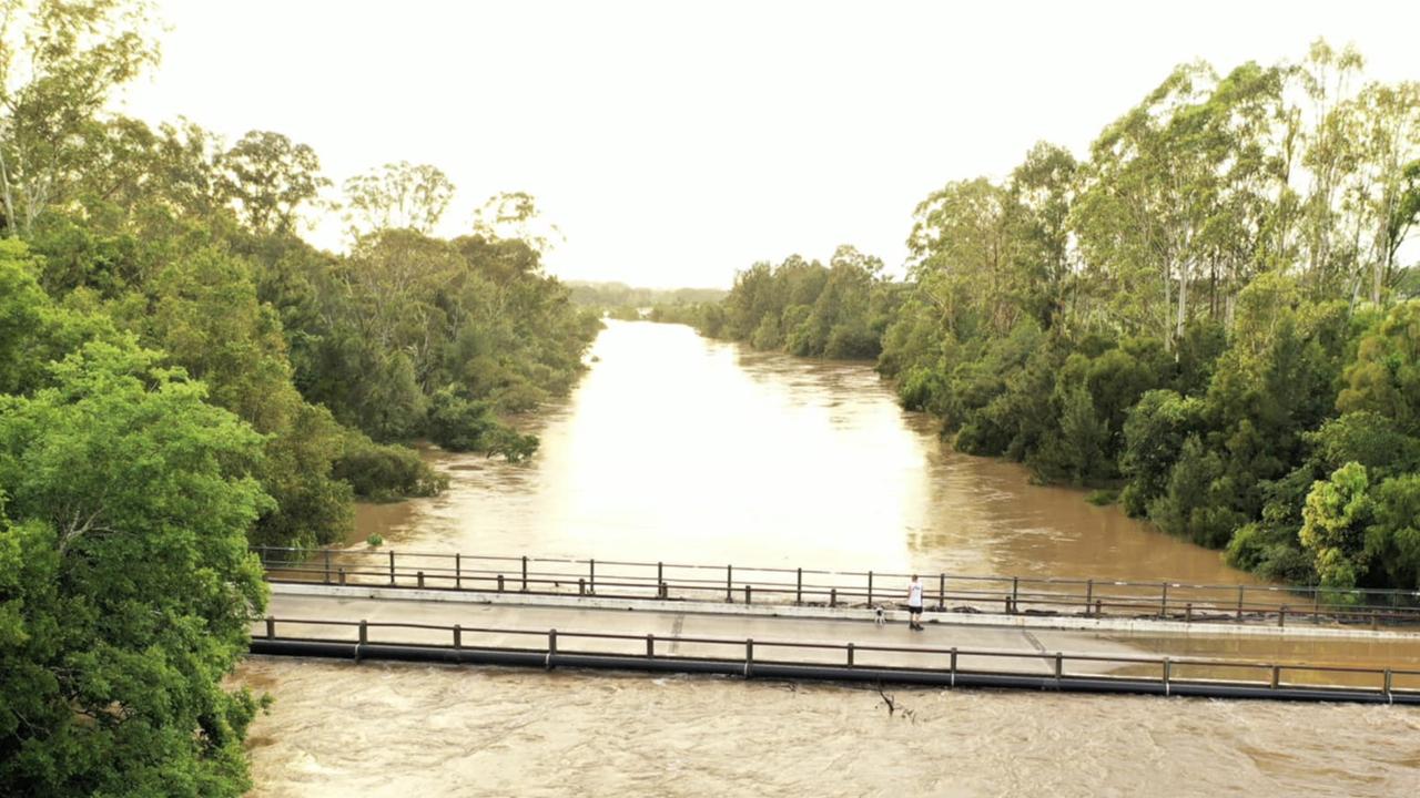
During the last 24 hours Mapleton had the highest rainfall in the region with 102mm, followed by the Sunshine Coast with 96mm and Proserpine with 82mm.
In Brisbane the biggest totals were southern suburbs including Beenleigh with 77mm, while Park Lands and Bahrs Scrub both recorded 55mm.
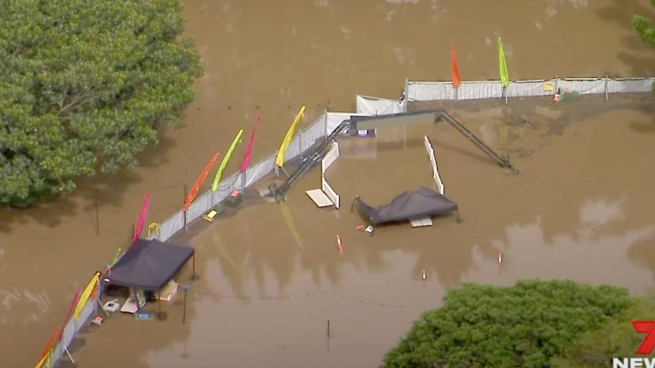
The flooding forced a popular Christmas lights show to shut down after just four nights.
On Tuesday Wivenhoe Dam’s floodgates were opened for the first time in two years as Queensland braced for its wettest December since the 2011 floods.
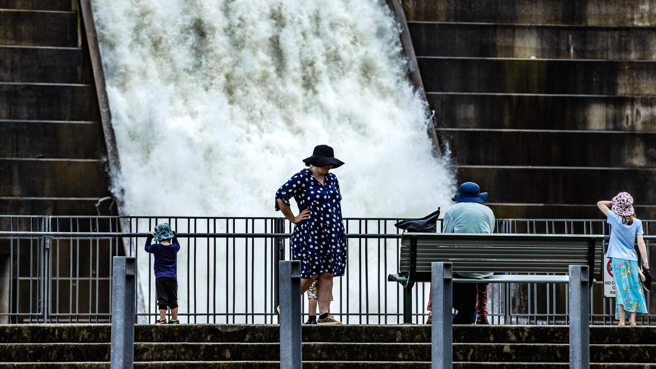
The emergency release was activated after 141mm of rain fell overnight Monday, and there could be further outflows for the rest of the week, the first time such action has been taken since October 2022.
Mr Hines said that Wednesday’s rainfall could prolong the current moderate and minor flood warnings but in some more serious cases, could “make it worse”.
Mr Hines said it was another “wet day on the cards” for Southeast Queensland, while hot temperatures and ongoing an heatwave continues across the west of the state.
The hottest temperatures around the state on Wednesday are set to hit Julia Creek, Mt Isa Birdsville and Cloncurry at 43C and 44C.
Mr Hines said that during the next few days Southeast Queenslanders would see a noticeable shift in weather conditions.
“Tomorrow over Southeast Queensland we’ll see much more dry weather developing with still some morning rainfall that should be cleared up by Thursday lunch time,” Mr Hines said.
“From Friday and into the weekend there will be a much longer scale of bright and sunny weather.
“After today it becomes a real split weather forecast between northern Queensland and the south east, with storms and rain in the north and sun in the south east.”


