Darling and Murray flood peaks heading for Wentworth
At least 2000 gigalitres is flowing into the Darling River, leaving Wentworth locals at its junction with the Murray River eyeing river gauges.

All eyes are on the Darling River and its northern tributaries as a massive 2000 gigalitre slug of water heads down its northern tributaries to the Menindee Lakes and Murray River.
“Timing is everything,” says Wentworth Mayor Tim Elstone, who like most residents hopes the Darling’s peak comes through well after the Murray River’s flood peak hits the town in early December.
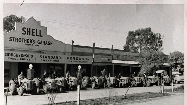
While it might not be time to roll out a few Massey Ferguson tractors to patch and raise the town’s levees, as they did to help save Wentworth in 1956, Mr Elstone said it “might be time to check the oil”.

River gauges across the northern Basin show as of Monday the flow at Bourke had reached 99,313 megalitres a day, with more to come as water pours out of the flood-hit Namoi and Gwydir valleys into the Barwon River at Walgett, where the gauge recorded 119,891ML/day.
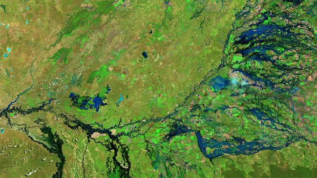
Sentinel satellite images show a swath of blue spilling out of northern Basin rivers.
Murray Darling Basin river operators estimate the flow at Wilcannia, 300km downstream from Bourke, is likely to peak at 175,000ML/day, but beyond that point is anyone’s guess.

Menindee local Graeme McCrabb said once the Darling River’s flow hit about 35,000ML/day it spilt out into the unmetered Talyawalka Creek, which eventually made its way back into the Darling River at two points downstream of Menindee.
“The lack of information is terrible,” Mr McCrabb said.
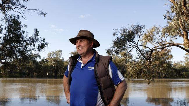
Australian Flood plain Association president Justin McClure, who runs Kallara Station at Tipla, halfway between Bourke and Wilcannia, said 160mm of rain across the region in the past fortnight had added to the problem.
“We farm on the flood plain, so it’s one of the risks we take,” Mr McLure said. “We got about 20 per cent of the crop off, but there’s 2000 acres (800ha) where the water is just below the ears.”
“It means a lot of water in the Murray in about eight weeks’ time. And it’s important they release a lot of water out of Menindee (Lakes).”
But the lakes already hold 1863GL and can only be surcharged to 2007GL.
Meanwhile the BOM is predicting the Murray’s flood peak will reach Wentworth between December 1 and 3, reaching a height of 33.3m AHD, equivalent to the moderate event that hit the region in 1993.
But Mr Elstone said back then the Darling River was not flooding.


